Preview
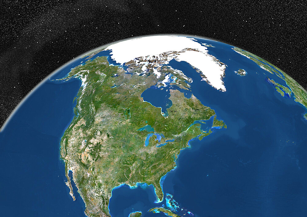
Globe Showing Northern America, True Colour Satellite Image. True colour satellite image of the Earth showing Greenland, the North Pole and Northern America. This image in orthographic projection was compiled from data acquired by LANDSAT 5 & 7 satellites.
| Image ID: | 1348-4493 |
|---|---|
| Artist: | Satellite and Aerial Images |