Preview

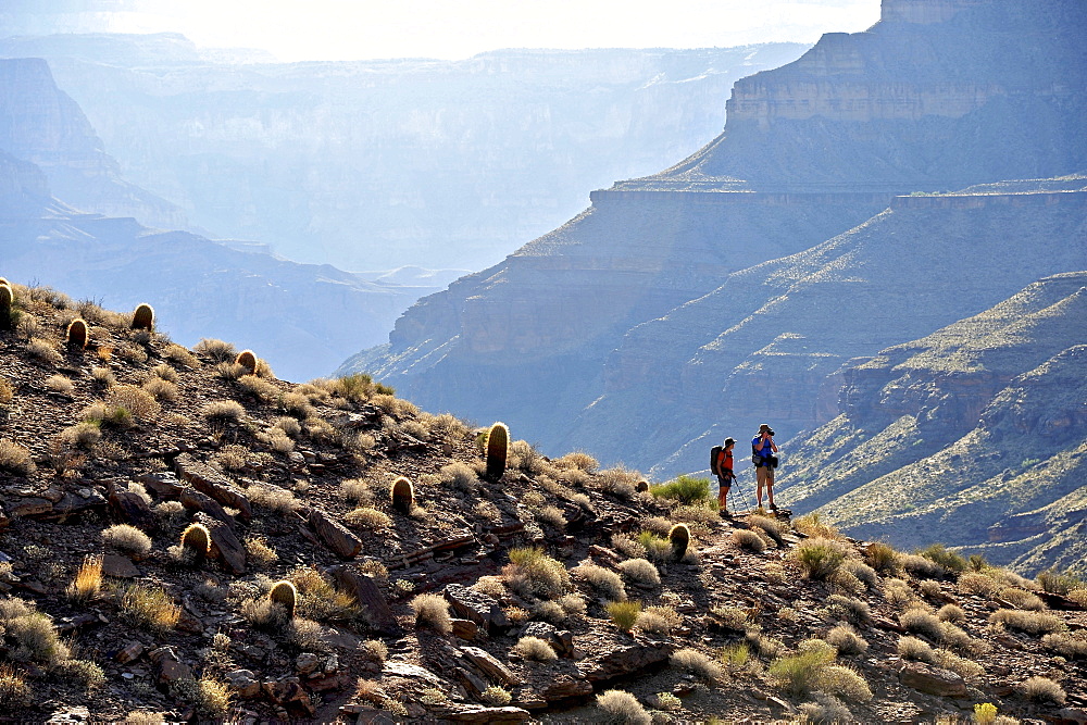
Hikers follow a route along the Colorado River that connect Tapeats Creek and Thunder River to Deer Creek in the Grand Canyon outside of Fredonia, Arizona November 2011. The 21.4-mile loop starts at the Bill Hall trailhead on the North Rim and descends 2000-feet in 2.5-miles through Coconino Sandstone to the level Esplanada then descends further into the lower canyon through a break in the 400-foot-tall Redwall to access Surprise Valley. Hikers connect Thunder River and Tapeats Creek to a route along the Colorado River and climb out Deer Creek.
| Image ID: | 857-89717 |
|---|---|
| Artist: | HagePhoto |
35 39 years
adult
adults only
adventure
arizona
bush
camera
capturing
caucasian ethnicity
color image
day
distant
extreme terrain
geology
grand canyon
heterosexual couple
hiking
hiking pole
holding
horizontal
men
mid adult man
mid adult woman
mountain
nature
non urban scene
outdoors
path
people
physical geography
standing
togetherness
tranquility
tranquil scene
travel
two people
women