Results
16 results found
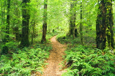
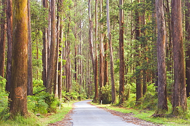
Footpath through Myrtle Beech Trees in the temperate rainforest, Yarra Ranges National Park, Victoria, Australia, Pacific
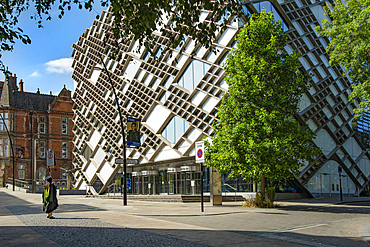
Diamond Building, housing Faculty of Engineering, University of Sheffield, Leavygreave Road, St. George's Quarter, Sheffield, Yorkshire, England
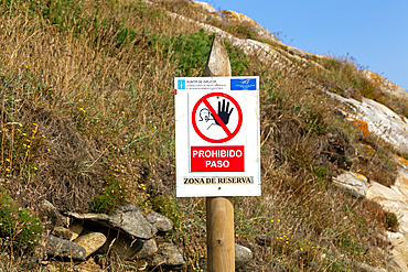
Sign protected area (Zone de Reserva), Cies Islands, Atlantic Islands Galicia Maritime Terrestrial National Park, Galicia, Spain, Europe
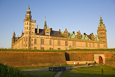
Kronborg castle, UNESCO World Heritage Site, Elsinore (Helsingor), North Zealand, Denmark, Scandinavia, Europe
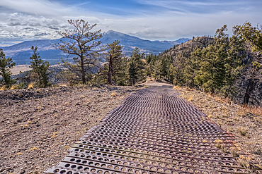
End of the Forest Service Road that leads to the O'Leary Peak Watchtower and Overlook. The metal grating is to add traction for vehicles. Adjacent to Sunset Crater National Monument Arizona in the Coconino National Forest.
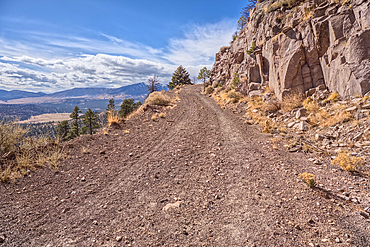
The Forest Service Road that leads to the summit of O'Leary Peak in the Coconino National Forest of Arizona.

Sport Utility Vehicle traveling on Forest Service Road 709 in the Kaibab National Forest of Arizona, USA
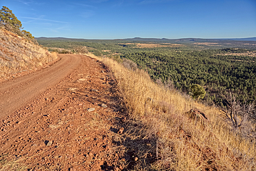
Road to the summit of Apache Maid Mountain, Coconino National Forest, Arizona, United States of America
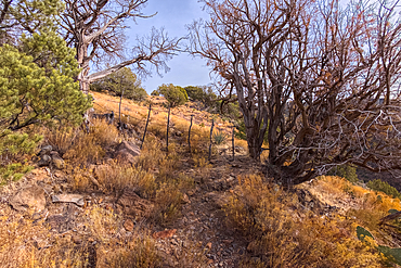
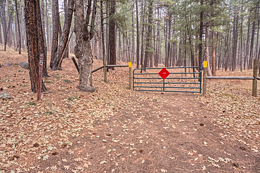
Boundary gate and cattle-proof fence between Coconino National Forest and Wet Beaver Creek Wilderness, Arizona, United States of America
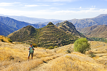
Hiker on the access path to Tsakhats Kar Monastery with the Smbataberd fortress in the background, near Yeghegnadzor, Vayots Dzor province, Armenia, Eurasia

The informative walk Gamsgrubenweg passes six tunnels at Franz Josefs Hohe on Grossglockner Carinthia Austria

The informative walk Gamsgrubenweg passes six tunnels at Franz Josefs Hohe on Grossglockner Carinthia Austria

The informative walk Gamsgrubenweg passes six tunnels at Franz Josefs Hohe on Grossglockner Carinthia Austria

The informative walk Gamsgrubenweg passes six tunnels at Franz Josefs Hohe on Grossglockner Carinthia Austria

Evening on the beach in Arcachon, boardwalk, disabled access to the beach, France, Europe, Atlantic Coast

Part of the fortress, 14th - 15th century, castle No. 48, Burghausen, Upper Bavaria, Germany, Europe

Part of the fortress, 14th - 15th century, castle No. 48, Burghausen, Upper Bavaria, Germany, Europe
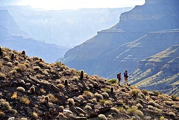
Hikers follow a route along the Colorado River that connect Tapeats Creek and Thunder River to Deer Creek in the Grand Canyon outside of Fredonia, Arizona November 2011. The 21.4-mile loop starts at the Bill Hall trailhead on the North Rim and descends 2000-feet in 2.5-miles through Coconino Sandstone to the level Esplanada then descends further into the lower canyon through a break in the 400-foot-tall Redwall to access Surprise Valley. Hikers connect Thunder River and Tapeats Creek to a route along the Colorado River and climb out Deer Creek.
