Results
61 results found
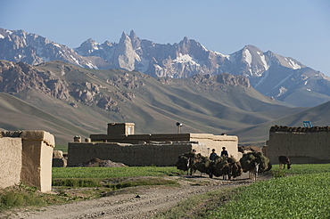
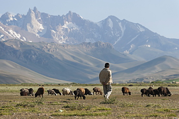
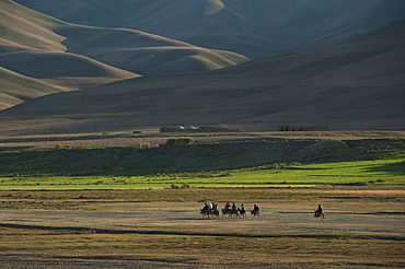
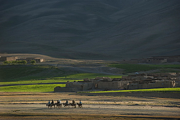
Farmers return to their village with their donkeys loaded with fodder in Bamiyan Province, Afghanistan, Asia
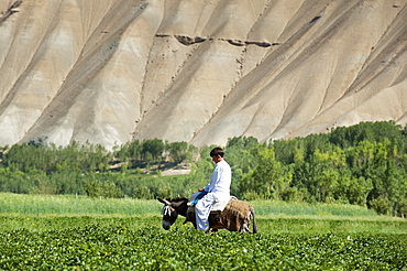
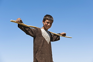
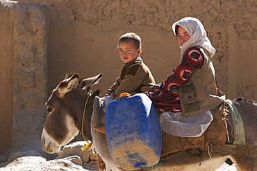
Local transportation, a boy goes to market through potato fields, Bamiyan Province, Afghanistan, Asia
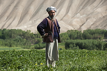
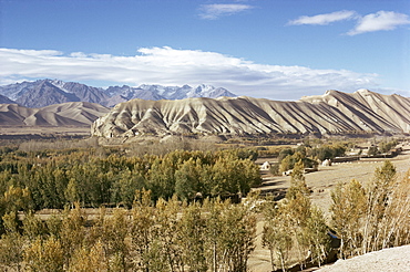
The barren hills of the Bamiyan valley in central Afghanistan appear to promise little, but snowmelt irrigates the fields, Bamiyan Province, Afghanistan, Asia
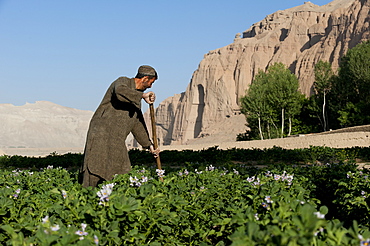
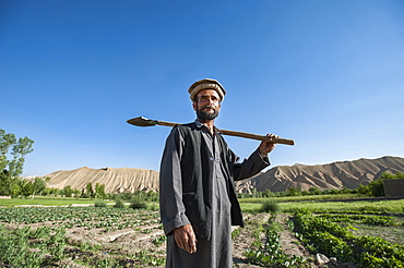
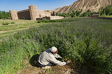
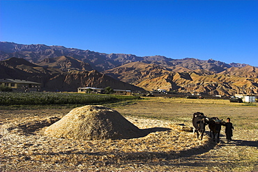
A famer works in potato fields with the ancient Buddha niches visible in the distance in Bamiyan Province, Afghanistan, Asia
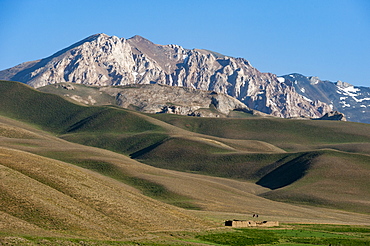
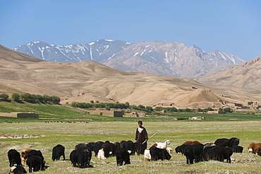
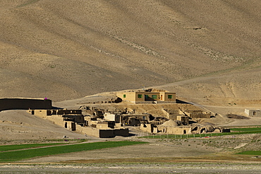
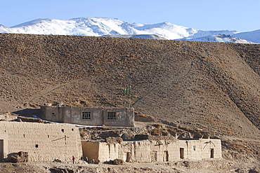
A distant house in the grasslands with views of mountains in the distance, Bamiyan province, Afghanistan, Asia
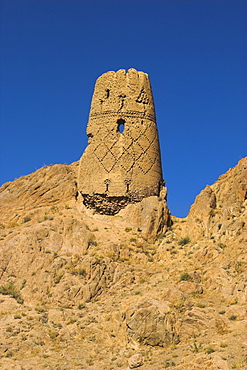
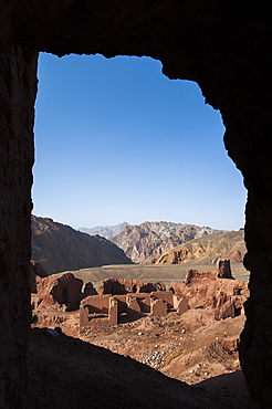
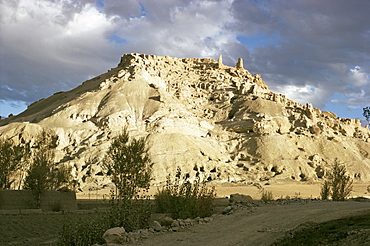
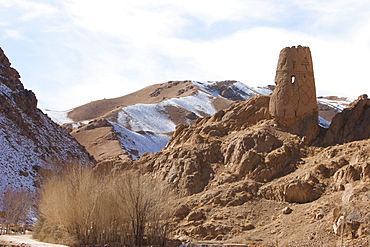
Watchtower at ruins which were once the site of a tall standing Buddha in a niche, Kakrak valley, Bamiyan, Afghanistan, Asia

The site of the great Buddhas in Bamyan (Bamiyan), taken in 2019, post destruction, Afghanistan, Asia

The site of the great Buddhas in Bamyan (Bamiyan), taken in 2019, post destruction, Afghanistan, Asia
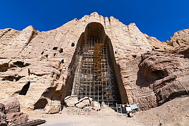
The site of the great Buddhas in Bamyan (Bamiyan), taken in 2019, post destruction, Afghanistan, Asia
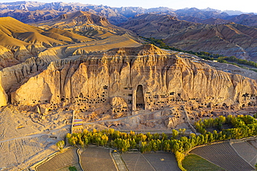
Aerial by drone of the site of the great Buddhas in Bamyan (Bamiyan), taken in 2019, post destruction, Afghanistan, Asia

Aerial by drone of the site of the great Buddhas in Bamyan (Bamiyan), taken in 2019, post destruction, Afghanistan, Asia
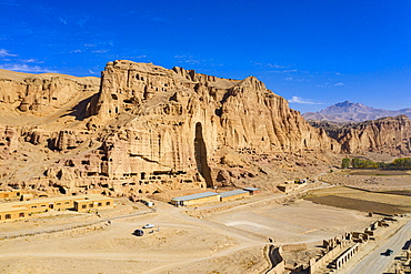
Aerial by drone of the site of the great Buddhas in Bamyan (Bamiyan), taken in 2019, post destruction, Afghanistan, Asia

Aerial by drone of the site of the great Buddhas in Bamyan (Bamiyan), taken in 2019, post destruction, Afghanistan, Asia
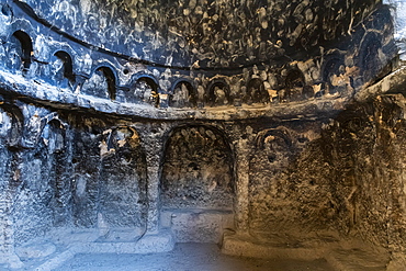
Ornamented cave in the site of the great Buddhas in Bamyan (Bamiyan), taken in 2019, post destruction, Afghanistan, Asia

Aerial by drone of the site of the great Buddhas in Bamyan (Bamiyan), taken in 2019, post destruction, Afghanistan, Asia

Watchtower at ruins which were once the site of a tall standing Buddha in a niche, Kakrak valley, Bamiyan, Afghanistan, Asia
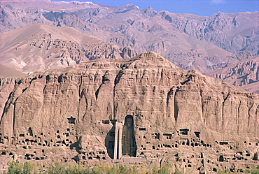
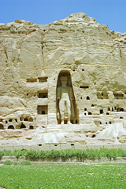
The caves and 150ft tall statue of the Buddha at Bamiyan, since destroyed by the Taliban, UNESCO World Heritage Site, Afghanistan, Asia
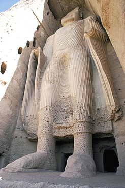
Statue of Buddha, 38m high carved in the reign of Kanishka the Great, since destroyed by the Taliban, UNESCO World Heritage Site, Bamiyan, Afghanistan, Asia
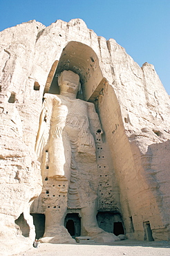
Defaced statue of the Buddha, 55m tall, carved in cliff by monks, since destroyed by the Taliban, UNESCO World Heritage Site, Bamiyan, Afghanistan, Asia
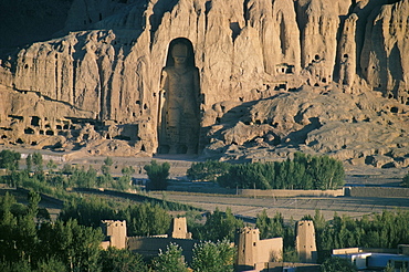
Buddha at Bamiyan, UNESCO World Heritage Site, since destroyed by the Taliban, Bamiyan, Afghanistan, Asia
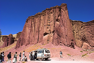
Tourist and locals at the Magenta cliffs near Shahr-e-Zohak (Red City), between Kabul and Bamiyan (the southern route), Bamiyan province, Afghanistan, Asia

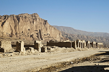
Ruined citadel of Shahr-e-Gholgola (City of the Screaming) (City of Noise), destroyed by Genghis Khan in 1221 AD, Bamiyan, Afghanistan, Asia
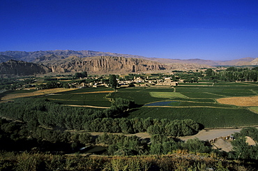
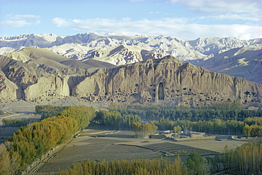
View of Bamiyan showing cliffs with two empty niches where the famous carved Buddhas stood, since destroyed by the Taliban, UNESCO World Heritage Site, Afghanistan, Asia
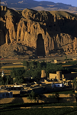
Empty niche where one of the famous carved Buddhas once stood, destroyed by the Taliban, Bamiyan, UNESCO World Heritage Site, Afghanistan, Asia
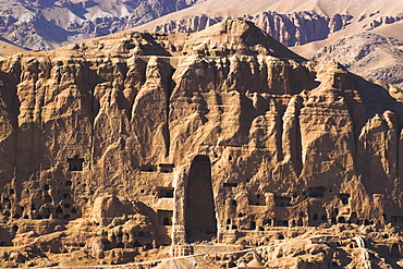
Empty niche in the cliff where one of the famous carved Buddhas once stood, destroyed by the Taliban in 2001, Bamiyan, UNESCO World Heritage Site, Bamiyan province, Afghanistan, Asia
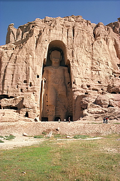
Large Buddha, subsequently destroyed by the Taliban, Bamiyan, UNESCO World Heritage Site, Afghanistan, Asia

Cave painting at large Buddha cave before destruction by the Taliban, Bamiyan, UNESCO World Heritage Site, Afghanistan, Asia
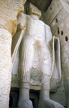
The giant Buddha image at Bamyan, UNESCO World Heritage Site, since destroyed by the Taliban, Bamiyan, Afghanistan., Asia
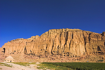
Cliffs with empty niches where the famous carved Buddhas once stood, destroyed by the Taliban in 2001, Bamiyan, UNESCO World Heritage Site, Bamiyan province, Afghanistan, Asia
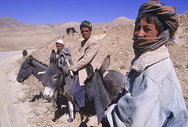
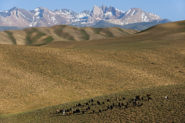
Young boys on donkeys watch over flocks of goats, sheep and donkeys near the top of the Shebar Pass, which crosses into the Province of Bamiyan. Due to a devastating drought in the region, dry wheat farming has failed for three years from 1998-2002 and the forage is extremely sparse, The pass is a strategic point leading into the Central Highlands, the Koh-i-Baba range and the Hazarajat, at the end of the Hindu Kush. Most of the people of this region are of the Hazara tribe, and are Shi'a Moslems who have been persecuted for centuries by many of the Pashtun rulers of Afghanistan, who are from the Sunni sect.
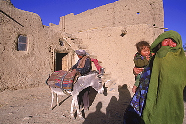
Striking Mongol features distinguish the face of a woman and her child (who is blind) living in the ruins of the Qala-i-Dokthar (Daughter's Castle), outside of the town of Bamiyan, August 30, 2002. Most of the old town was destroyed and up to 20,000 people of the region might have perished when Bamiyan fell to the Taliban in 2001. Bamiyan Valley is located in the Hazarajat at the edge of the Koh-i-Baba range , the end of the Hindu Kush. Bamiyan was a prosperous Buddhist kingdom on the ancient Silk Road until the 10th century, when the region was converted to Islam; in the 12th century, it was destroyed by Ghengis Khan. Most of the people of this region are of the Hazara tribe, and are Shi'a Moslems who have been persecuted for centuries by many of the Pashtun rulers of Afghanistan, who are from the Sunni sect. They most recently suffered at the hand of the Taliban, who tried for years to ethnically cleanse the region of its Shi'a people.
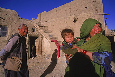
Striking Mongol features distinguish the face of Hamir Mohammed, his daughter and grandson (who is blind), all living in the ruins of the Qala-i-Dokthar (Daughter's Castle), outside of the town of Bamiyan, August 30, 2002. Most of the old town was destroyed and up to 20,000 people of the region might have perished when Bamiyan fell to the Taliban in 2001. Bamiyan Valley is located in the Hazarajat at the edge of the Koh-i-Baba range , the end of the Hindu Kush. Bamiyan was a prosperous Buddhist kingdom on the ancient Silk Road until the 10th century, when the region was converted to Islam; in the 12th century, it was destroyed by Ghengis Khan. Most of the people of this region are of the Hazara tribe, and are Shi'a Moslems who have been persecuted for centuries by many of the Pashtun rulers of Afghanistan, who are from the Sunni sect. They most recently suffered at the hand of the Taliban, who tried for years to ethnically cleanse the region of its Shi'a people
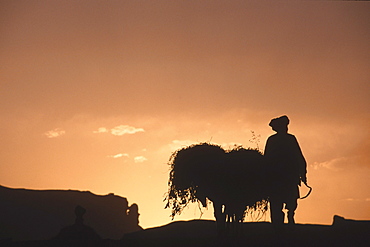
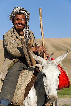
A farmer with his donkey loaded with forage walks toward the setting sun above the town of Bamiyan, August 30, 2002. Most of the old town was destroyed and up to 20,000 people of the region might have perished when Bamiyan fell to the Taliban in 2001. Bamiyan Valley is located in the Hazarajat at the edge of the Koh-i-Baba range , the end of the Hindu Kush. Bamiyan was a prosperous Buddhist kingdom on the ancient Silk Road until the 10th century, when the region was converted to Islam; in the 12th century, it was destroyed by Ghengis Khan. Most of the people of this region are of the Hazara tribe, and are Shi'a Moslems who have been persecuted for centuries by many of the Pashtun rulers of Afghanistan, who are from the Sunni sect. They most recently suffered at the hand of the Taliban, who tried for years to ethnically cleanse the region of its Shi'a people
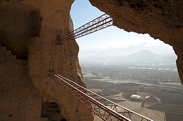
Large scaffolding for the emergency consolidation of the niche of the Small Buddha, destroyed by the Taliban in 2001 in Bamiyan, Bamian Province, Afghanistan
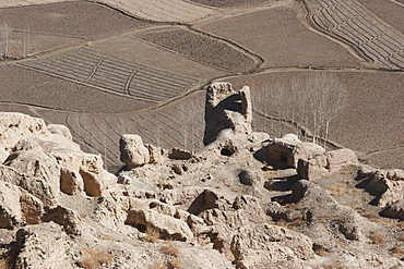
The Islamic city of Shar e Gholgola at Bamiyan was destroyed by Genghis Khan in 1221. The ruins of the citadel are also known as the City of Sighs., Bamian Province, Afghanistan

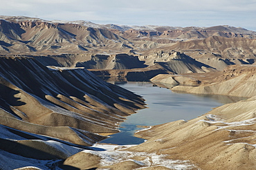
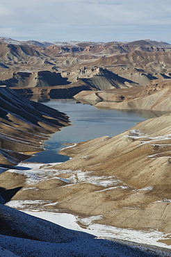
Hindu Kush mountains reflections in Band-i-Haibat (Dam of Awe), Band-i-Amir, Bamian Province, Afghanistan
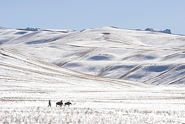
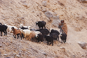
Hazara farmers & donkeys laden with brushwood along the Shahidan Pass in winter, Bamian Province, Afghanistan
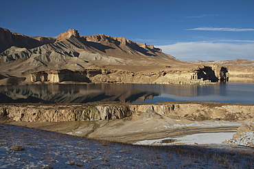
Qadamjoy Shah-i-Aulia Shrine beside the Band-i-Haibat (Dam of Awe), Band-i-Amir, Bamian Province, Afghanistan
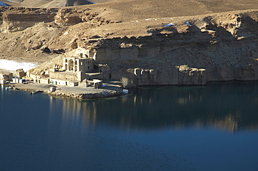
Qadamjoy Shah-i-Aulia Shrine beside the Band-i-Haibat (Dam of Awe), Band-i-Amir, Bamian Province, Afghanistan
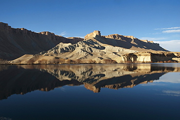
Hindu Kush mountains reflections in Band-i-Haibat (Dam of Awe), Band-i-Amir, Bamian Province, Afghanistan
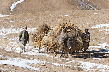
Hazara farmers & donkeys laden with brushwood along the Shahidan Pass in winter, Bamian Province, Afghanistan
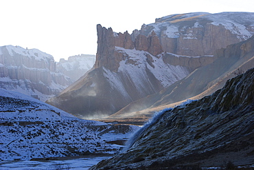
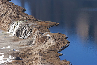
Water cascading down the travertine walls of Band-i-Haibat (Dam of Awe), Band-i-Amir, Bamian Province, Afghanistan
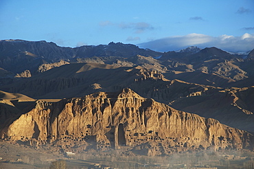
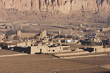
Panoramic view of Bamiyan and the escarpment with hundreds of caves and the niche that contained the Small Buddha statue destroyed by the Taliban in 2001, Bamian Province, Afghanistan
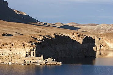
Qadamjoy Shah-i-Aulia Shrine beside the Band-i-Haibat (Dam of Awe), Band-i-Amir, Bamian Province, Afghanistan
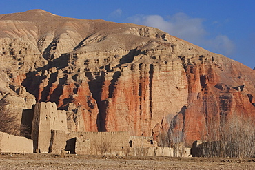
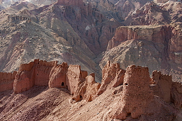
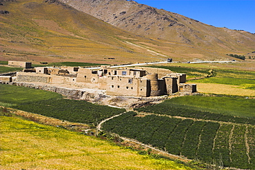
Mud fort near Sharh-e-Zohak (The Red City) at the entrance to the Bamiyan Valley, Bamian Province, Afghanistan
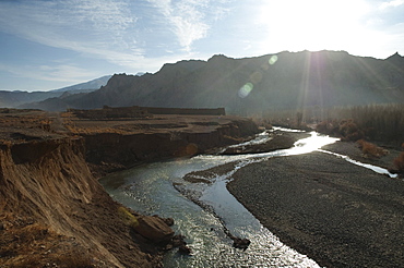
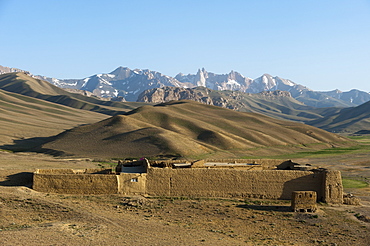
Mud fort at the confluence of the Bamiyan and Kalu rivers near Sharh-e-Zohak at the entrance to Bamiyan, Bamian Province, Afghanistan
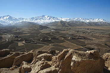
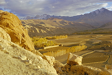
View of the Bamiyan Valley from ruins of the citadel of Shar e Gholgola, Bamian Province, Afghanistan
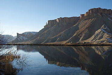
Hindu Kush mountains reflections in Band-i-Haibat (Dam of Awe), Band-i-Amir, Bamian Province, Afghanistan
