Results
3 results found

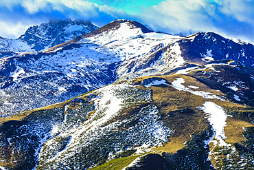
View of snow covered mountain peaks and Skyway Monte Bianco cable car station in winter, Courmayeur, Aosta Valley, Italian Alps, Italy
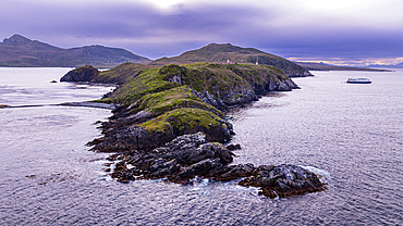
Aerial of Cape Horn, southern most point in South America, Hornos island, Tierra del Fuego, Chile, South America
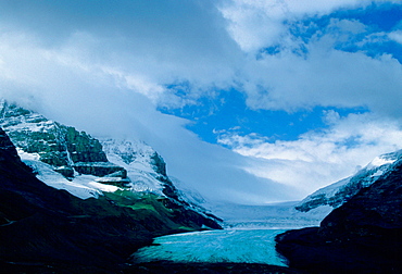
A general view of the Athabasca Glacier, a six kilometre tongue of ice flowing from the Columbia Icefield. It is the best-known glacier in the Canadian Rockies and is situated in Jasper National Park, Alberta, Canada.

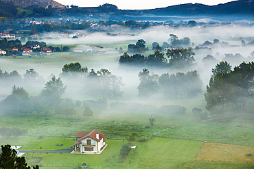
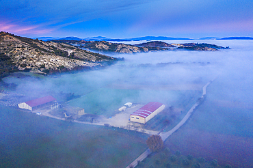
Salt marshes at dusk. Cerroja water mill. Santoᅢᄆa, Victoria and Joyel Marshes Natural Park. Cantabria, Spain, Europe.

Salt marshes at dusk. Cerroja water mill. Santoᅢᄆa, Victoria and Joyel Marshes Natural Park. Cantabria, Spain, Europe.

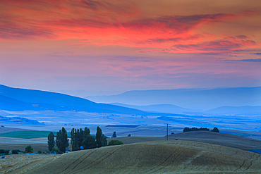
Daybrake in the marshes. Escalante. Marismas de Santoᅢᄆa, Victoria y Joyel Natural Park. Cantabria, Spain, Europe.

Reportage on the Jeunes Pousses, a follow-up care and pneumo-pediatric rehabilitation unit specializing in climate therapy for asthma, Briançon, France

Reportage on the Jeunes Pousses, a follow-up care and pneumo-pediatric rehabilitation unit specializing in climate therapy for asthma, Briançon, France

Reportage on the Jeunes Pousses, a follow-up care and pneumo-pediatric rehabilitation unit specializing in climate therapy for asthma, Briançon, France
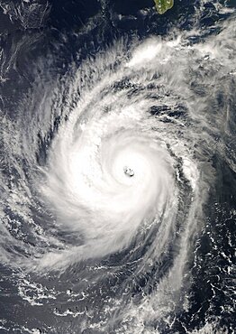
Hurricane Norbert, Pacific Ocean, In 2008, True Colour Satellite Image. Hurricane Norbert on 8 October 2008 over the Pacific ocean off Mexico. True-colour satellite image using MODIS data.
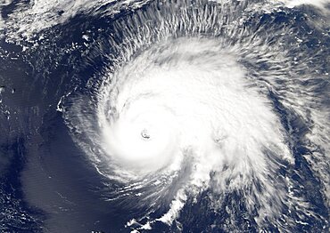
Hurricane Gordon, Atlantic Ocean, In 2006, True Colour Satellite Image. Hurricane Gordon on 14 September 2006 over the Atlantic ocean. True-colour satellite image using MODIS data.

Typhoon Mitag, Philippine Sea, Asia, In 2002, True Colour Satellite Image. Typhoon Mitag on 6 March 2002 in the Philippine Sea, north of the Philippines (lower left-hand corner of the image). True-colour satellite image using MODIS data.

Hurricane Wilma, Atlantic Ocean, On 24/10/2005, True Colour Satellite Image. Hurricane Wilma on 24 October 2005 over Florida, US. True-colour satellite image using MODIS data.

Hurricane Frances, Atlantic Ocean, On 31/08/2004, True Colour Satellite Image. Hurricane Frances on 31 August 2004 north of San Juan, Puerto Rico. True-colour satellite image using MODIS data.

Hurricane Bertha, Atlantic Ocean, In 2008, True Colour Satellite Image. Hurricane Bertha on 9 July 2008 over the Atlantic ocean. True-colour satellite image using MODIS data.
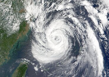
Typhoon Nari, Taiwan, China, Asia, In 2001, True Colour Satellite Image. Typhoon Nari in September 2001 northeast of Taiwan and west of Shanghai, China. True-colour satellite image using MODIS data.
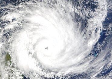
Cyclone Gafilo, Indian Ocean, In 2004, True Colour Satellite Image. Tropical Cyclone Gafilo over the Indian Ocean, Northwest of Madagascar, on 6 March 2004. True-colour satellite image using MODIS data.
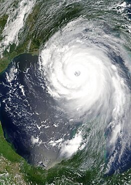
Hurricane Katrina, Louisiana, Us, On 28/08/2005, True Colour Satellite Image. Hurricane Katrina on 28 August 2005 near peak strength over the Gulf of Mexico. True-colour satellite image using MODIS data.

