Results
6 results found
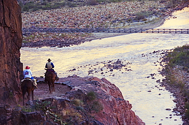
Mules taking tourists along the Colorado River Trail, Grand Canyon, Arizona, United States of America, North America
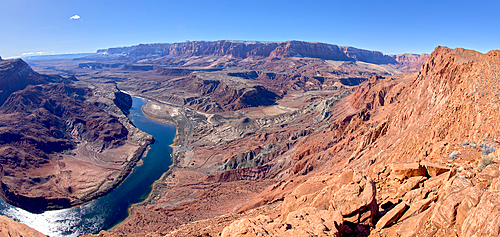
The Vermilion Cliffs adjacent to Glen Canyon Recreation Area viewed from the plateau at the end of Spencer Trail in Marble Canyon with Lee's Ferry on the lower left with the Colorado River, Arizona, United States of America, North America
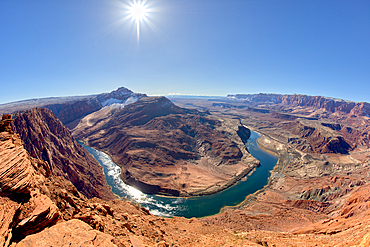
The bend in the Colorado River at Lee's Ferry in Glen Canyon Recreation Area viewed from the plateau at the end of Spencer Trail at Marble Canyon in winter, Arizona, United States of America, North America

The South Kaibab Trail winding down to the Black Bridge that spans the Colorado River at Grand Canyon Arizona. Phantom Ranch is just left of center.

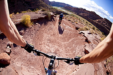
View over the Colorado River from the Slickrock trail, Moab, Utah, United States of America, North America
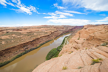
View over the Colorado River from the Slickrock trail, Moab, Utah, United States of America, North America
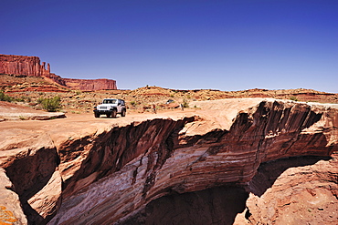
Jeep driving at brim above Colorado River, White Rim Drive, White Rim Trail, Island in the Sky, Canyonlands National Park, Moab, Utah, Southwest, USA, America
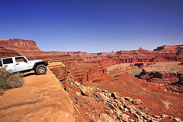
Jeep standing at brim above Colorado River, White Rim Drive, White Rim Trail, Island in the Sky, Canyonlands National Park, Moab, Utah, Southwest, USA, America
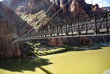
Suspension Bridge Kaibab Suspension Bridge over Colorado River, South Kaibab Trail, Grand Canyon National Park, Arizona, USA, North America
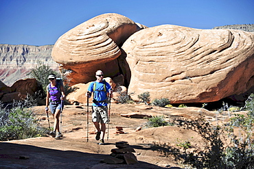
Hikers on the sandstone Esplanade of the Thunder River Trail below the North Rim of the Grand Canyon outside Fredonia, Arizona November 2011. The 21.4-mile loop descends 2000-feet in 2.5-miles through Coconino Sandstone from the Bill Hall trailhead to connect the Thunder River and Deer Creeks trails. Hikers descend into the lower canyon through a break in the 400-foot-tall Redwall to access Surprise Valley, Deer Creek, Tapeats Creek via Thunder River and even the Colorado River.
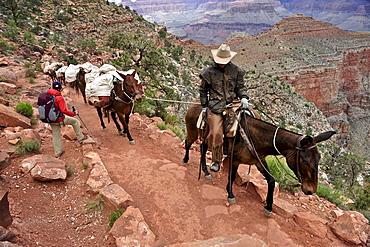
Female hiker waits for pack horses to pass on the South Kaibab Trail in Grand Canyon National Park north of Williams, Arizona May 2011. The South Kaibab Trail starts on the south rim of the Colorado Plateau and follows a ridge out to Skeleton Point allowing for 360-degree views of the canyon then down to the Colorado River. At the Colorado River the trail connects with the North Kaibab trail as part of the Arizona Trail system, that crosses the state of Arizona from Mexico to Utah.
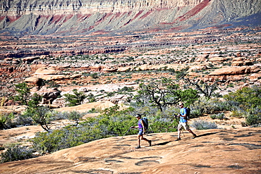
Hikers on the sandstone Esplanade of the Thunder River Trail below the North Rim of the Grand Canyon outside Fredonia, Arizona November 2011. The 21.4-mile loop descends 2000-feet in 2.5-miles through Coconino Sandstone from the Bill Hall trailhead to connect the Thunder River and Deer Creeks trails. Hikers descend into the lower canyon through a break in the 400-foot-tall Redwall to access Surprise Valley, Deer Creek, Tapeats Creek via Thunder River and even the Colorado River.
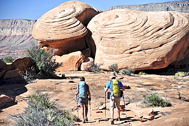
Hikers on the sandstone Esplanade of the Thunder River Trail below the North Rim of the Grand Canyon outside Fredonia, Arizona November 2011. The 21.4-mile loop descends 2000-feet in 2.5-miles through Coconino Sandstone from the Bill Hall trailhead to connect the Thunder River and Deer Creeks trails. Hikers descend into the lower canyon through a break in the 400-foot-tall Redwall to access Surprise Valley, Deer Creek, Tapeats Creek via Thunder River and even the Colorado River.
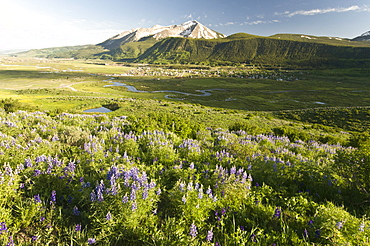
Lupine flowers along the Lupine Loop Trail with the town of Crested Butte, Whetstone Mountain adn the Slate River in the background, Colorado.
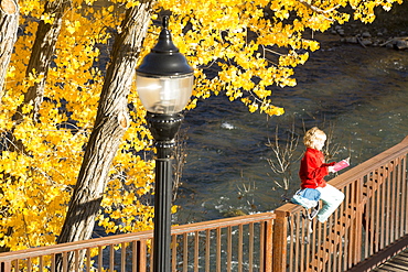
A young girl reading a book while sitting on a bridge over the Animas River on the Animas River Trail in Durango, Colorado.
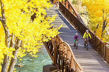
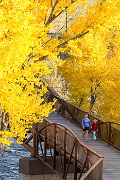
A mother and daughter mountain biking over the Animas River on a bridge on the Animas River Trail in Durango, Colorado.

