Results
3 results found
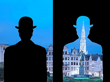
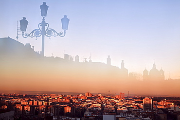
Magrittian reinterpretation of the Monts des Arts, inspired by the work of Magritte, La Decalcomanie, 1966, Brussels, Belgium, Europe

Magrittian reinterpretation of the Monts des Arts, inspired by the work of Magritte, La Decalcomanie, 1966, Brussels, Belgium, Europe
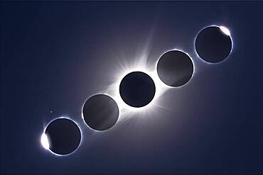
A composite of the August 21, 2017 total eclipse of the Sun, showing the second and third contact diamond rings and Baily's Beads at the start (left) and end (right) of totality, flanking a composite image of totality itself. The diamond ring and Baily's Beads images are single images.
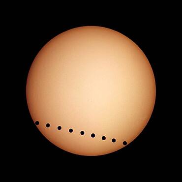
Transit of Venus, June 8, 2004, from Luxor, Egypt. A composite image (layered in Photoshop) of individual multiple shots taken from just after 2nd contact to just before 3rd contact. Taken with a Sony DSC-V1 digital camera shooting afocally through a 40mm eyepiece and on a 90mm apochromatic refractor, equatorially mounted and driven. Shot thru a Baader solar filter, which gives a white Sun. Yellow coloration added in Photoshop.

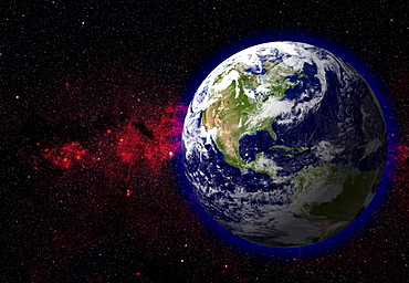
Globe Europe, True Colour Satellite Image. True colour satellite image of the whole earth, showing Europe at centre. The picture is a composite created from thousands of separate images recorded by LANDSAT 5 & 7 satellites. Print size 42x42cm.

Sea Of Japan, Asia, True Colour Satellite Image. True colour satellite image of the Sea of Japan, a sea of the western Pacific Ocean. It is bordered by Japan, South Korea, North Korea and Russia. Composite image using LANDSAT 5 data.

Puerto Rico And The Virgin Islands, True Colour Satellite Image. Puerto Rico and the Virgin Islands. True colour satellite image showing Puerto Rico (west) and the Virgin islands (east). Composite image using data from LANDSAT 5 & 7satellites.
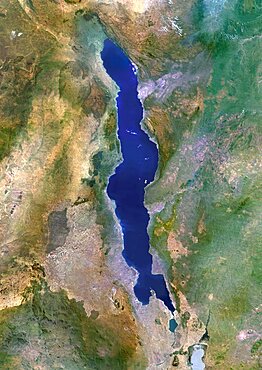
Lake Malawi, Africa, True Colour Satellite Image. True colour satellite image of Lake Malawi, an African Great Lake situated between Malawi, Mozambique, and Tanzania. Composite image using LANDSAT 5 data.
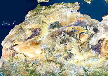
Sahara Desert, Africa, True Colour Satellite Image. Sahara desert, true colour satellite image. The Sahara is the world's largest hot desert, made of sand and volcanic mountains. Composite image using data from LANDSAT 5 & 7 satellites.
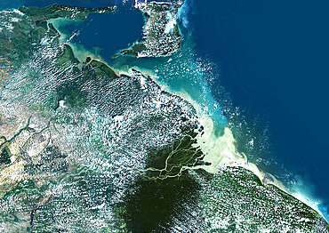
Orinoco Delta, Venezuela, True Colour Satellite Image. True colour satellite image of the Orinoco Delta in eastern Venezuela, The Orinoco river flows into the Atlantic ocean. At top is the island of Trinidad in the Caribbean sea. Composite image using LANDSAT 5 data.
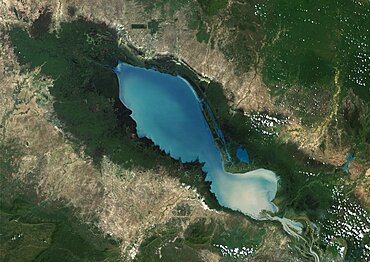
Tonle Sap Lake, Cambodia, True Colour Satellite Image. True colour satellite image of Tonlé Sap Lake and its floodplain, in Cambodia. Composite image using LANDSAT 7 data.

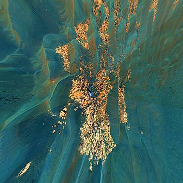
Volcano Tousside In 3D, Chad, True Colour Satellite Image. Pic Tousside, Chad, true colour satellite image. A recent volcano, known as the Pic Tousside, in the Tibesti Mountains in Northwestern tip of Chad (Africa). Composite image dated 2000-2002 using LANDSAT data.
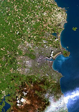
Dublin, Ireland, True Colour Satellite Image. Dublin, Republic of Ireland. True colour satellite image of Dublin, capital city of the Republic of Ireland. Composite of 2 image taken on 1st & 24 May 2001, using LANDSAT 7 data.

Dakar, Senegal, True Colour Satellite Image. Dakar, Senegal. True colour satellite image of Dakar, capital city of Senegal. Composite of 2 images taken on 4 & 11 November 1999, using LANDSAT 7 data.
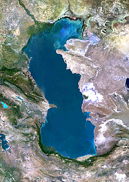
Caspian Sea, Asia, True Colour Satellite Image. True colour satellite image of the Caspian Sea in Asia. It is bounded by Iran, Russia, Kazakhstan, Turkmenistan and Azerbaijan. The Caspian Sea is the world's largest inland sea. Composite image using LANDSAT 5 data.
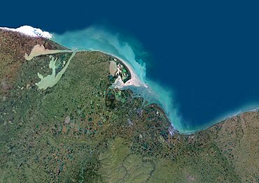
Indigirka River Delta, Russia, True Colour Satellite Image. True colour satellite image of the Indigirka River Delta in Russia. The river flows into the Kolyma Bay, East Siberian Sea. Composite image using LANDSAT 5 data.

Ural Delta, Kazakhstan, True Colour Satellite Image. True colour satellite image of the Ural Delta in Kazakhstan. The Ural River ends at the Caspian Sea. Composite image using LANDSAT 5 data.
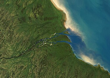
Albany River Delta, Canada, True Colour Satellite Image. True colour satellite image of Albany River Delta in Canada. Composite image using LANDSAT 7 data.
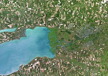
Don River Delta, Russia, True Colour Satellite Image. True colour satellite image of the Don River Delta in Russia. The Don River flows into the Sea of Azov. Composite image using LANDSAT 7 data.
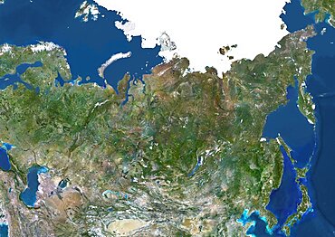
Russia, True Colour Satellite Image. Russia, true colour satellite image. Composite image using data from LANDSAT 5 & 7satellites.
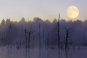
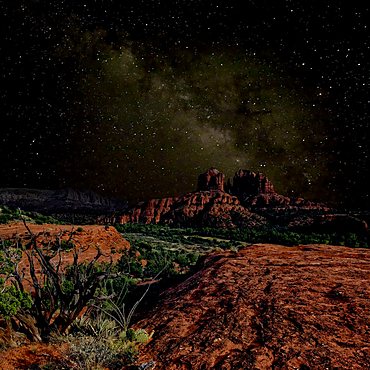
Moon over Schwenninger Moos Nature Reserve, source of the Neckar River, Villingen-Schwenningen, Black Forest, Baden-Wuerttemberg, Germany, Europe, composite image
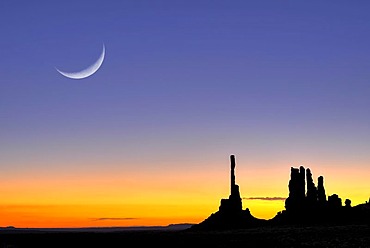
Totem Pole and Yei Bi Chei rock formations, silhouetted before sunrise, dawn, moon, Monument Valley Navajo Tribal Park, Navajo Nation Reservation, Arizona, Utah, United States of America, composite image
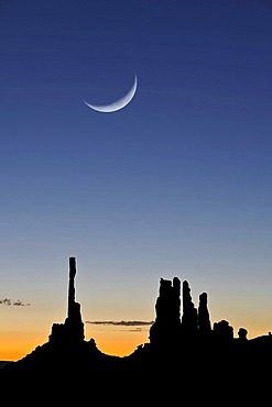
Totem Pole and Yei Bi Chei rock formations, silhouetted before sunrise, dawn, moon, Monument Valley Navajo Tribal Park, Navajo Nation Reservation, Arizona, Utah, United States of America, composite image
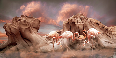
Pink flamingoes stand in shallow water in front of rugged rock formations with a dramatic sky of glowing pink clouds and mist hovering over the water, composite image
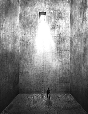
Image of a man standing in an empty room with tall walls and a ladder leading up to the sunlight streaming from a window far above, composite image
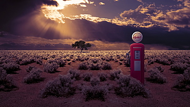
Abandoned gas station pump in an overgrown field under storm clouds with sun beams shining through, composite image
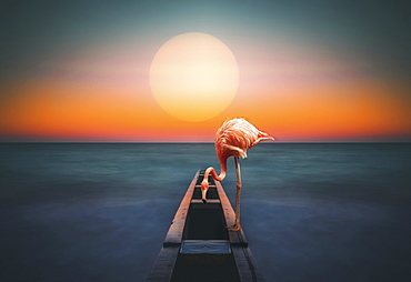
A flamingo stands on a structure leading out to the water with a glowing sun over the horizon, composite image
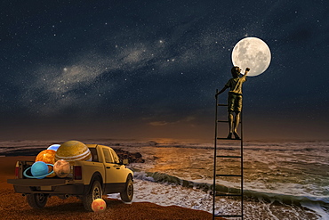
Composite image of a boy standing on a ladder touching the moon with a pickup truck full of planets at the edge of the ocean
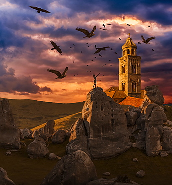
Crows flying towards a church tower with a wooden human mannequin laying on the ground in the foreground
