Results
1 2 3 … 11 Next »
1053 results found
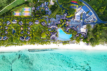
Aerial view by drone of luxury tourist resort on palm-fringed beach facing the tropical lagoon, Le Morne Brabant, Mauritius, Indian Ocean, Africa
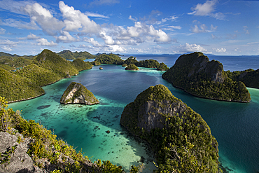
Aerial view of lagoon and karst limestone formations in Wayag Island, Raja Ampat, West Papua, Indonesia, Southeast Asia, Asia
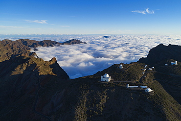
Aerial view of Telescope observatory, near Caldera de Taburiente National Park, UNESCO Biosphere Site, La Palma, Canary Islands, Spain, Atlantic, Europe
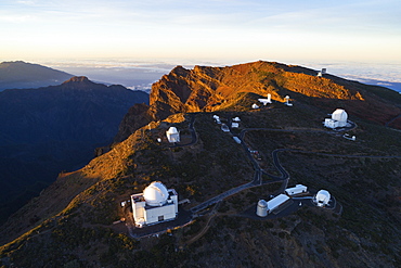
Aerial view of Telescope observatory, near Caldera de Taburiente National Park, UNESCO Biosphere Site, La Palma, Canary Islands, Spain, Atlantic, Europe
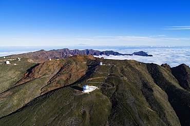
Aerial view of Telescope observatory, near Caldera de Taburiente National Park, UNESCO Biosphere Site, La Palma, Canary Islands, Spain, Atlantic, Europe
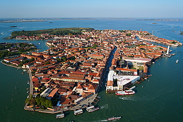
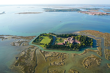
View of Murano island from the helicopter, Venice Lagoon, UNESCO World Heritage Site, Veneto, Italy, Europe
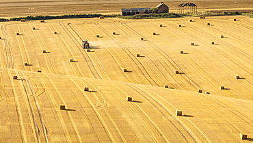
Hay bales on rolling chalk fields near the village of Fridaythorpe, on the East Yorkshire Wolds, Yorkshire, England, United Kingdom, Europe
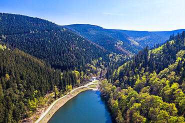
The Upper Harz Water Regale, taken by drone, UNESCO World Heritage Site, Goslar, Lower Saxony, Germany, Europe
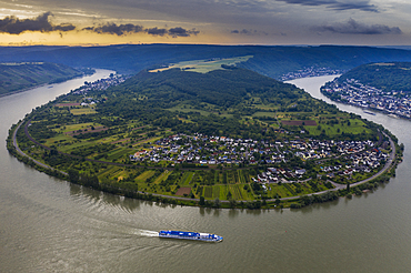
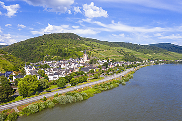
View from the Gedeonseck down to the Rhine bend, UNESCO World Heritage Site, Middle Rhine valley, Rhineland-Palatinate, Germany, Europe
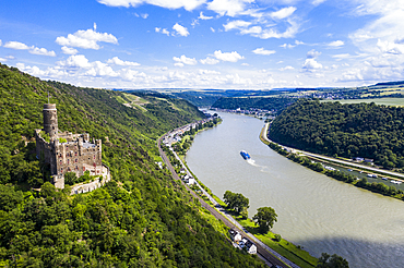
Castle Maus overlooking the Rhine river, UNESCO World Heritage Site, Middle Rhine valley, Rhineland-Palatinate, Germany, Europe
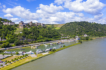
Castle Rheinfels overlooking the Rhine, UNESCO World Heritage Site, Middle Rhine valley, Rhineland-Palatinate, Germany, Europe
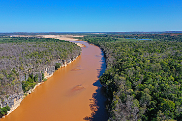
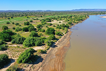
Manambolo River at Bekopaka, Parc National des Tsingy de Bemaraha, UNESCO World Heritage Site, Tsiribihina region, Madagascar, Africa
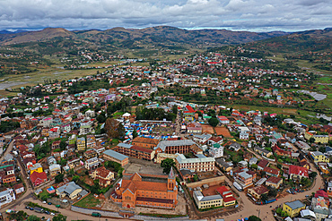
Ambositra, capital of the Amoron'i Mania region, Ambositra District, centre of Madagascar's wood-carving industry, Madagascar, Africa
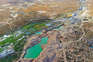
Ilakaka sapphire mine, one of Earth's largest known alluvial sapphire deposits, Ilakaka, Ihorombe Region, Madagascar, Africa

Rice fields and small mud villages near Sandrandahy, on the National Route RN7 between Ranomafana and Antsirabe, Madagascar, Africa
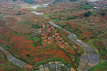
Rice fields and small villages near Ivato, Ambositra district, National Route RN7 between Ranomafana and Antsirabe, Madagascar, Africa
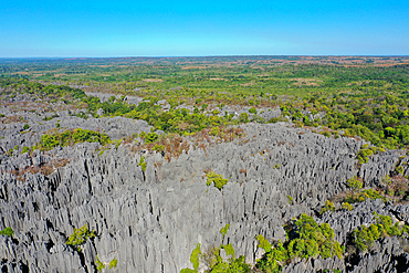
The karst limestone formation at Parc National des Tsingy de Bemaraha, UNESCO World Heritage Site, Tsiribihina region, Madagascar, Africa
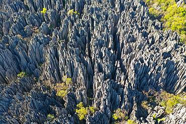
The karst limestone formation at Parc National des Tsingy de Bemaraha, UNESCO World Heritage Site, Tsiribihina region, Madagascar, Africa
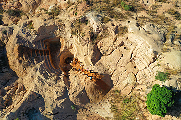
Ilakaka sapphire mine, one of Earth's largest known alluvial sapphire deposits, Ilakaka, Ihorombe Region, Madagascar, Africa
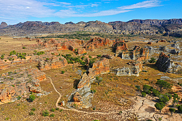
Sandstone landscape at Isalo National Park, Ihorombe Region, Fianarantsoa province, Madagascar, Africa
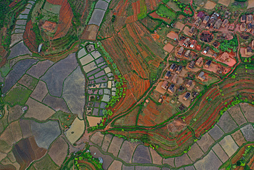
Rice fields and small villages near Ivato, Ambositra district, National Route RN7 between Ranomafana and Antsirabe, Madagascar, Africa
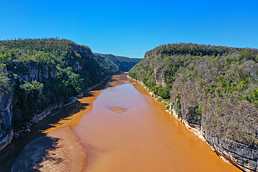
Manambolo River at Bekopaka, Parc National des Tsingy de Bemaraha, UNESCO World Heritage Site, Tsiribihina region, Madagascar, Africa
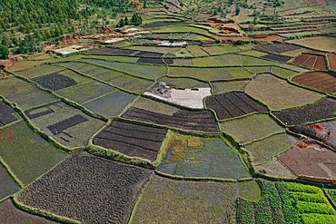
Vegetable cultivation and brick making on the rice fields, National Route RN7 between Antsirabe and Antananarivo, Madagascar, Africa
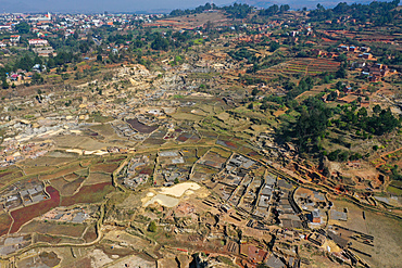
Brick making on the rice fields on the National Route RN7 between Antsirabe and Antananarivo, Ambatotapaka, Madagascar, Africa
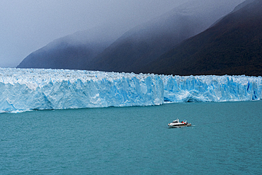
Tourist boat in front of Perito Moreno Glacier in Los Glaciares National Park, UNESCO World Heritage Site, Santa Cruz Province, Patagonia, Argentina, South America

Aerial drone view of beautiful tropical island beach with palm trees, The Maldives, Indian Ocean, Asia

The Upper Harz Water Regale, taken by drone, UNESCO World Heritage Site, Goslar, Lower Saxony, Germany, Europe
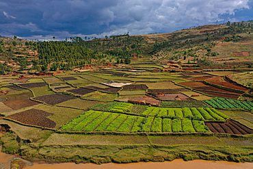
Vegetable cultivation and brick making on the rice fields, National Route RN7 between Antsirabe and Antananarivo, Madagascar, Africa
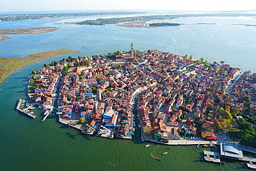
View of Burano island from the helicopter, Venice Lagoon, UNESCO World Heritage Site, Veneto, Italy, Europe
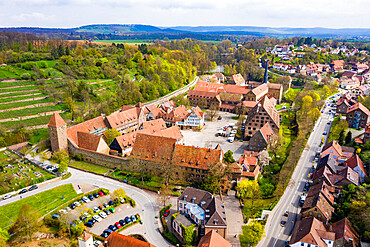
Aerial by drone of Maulbronn Monastery, UNESCO World Heritage Site, Baden Wurttemberg, Germany, Europe
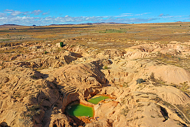
Ilakaka sapphire mine, one of Earth's largest known alluvial sapphire deposits, Ilakaka, Ihorombe Region, Madagascar, Africa

The River Usk meandering through rolling countryside, Brecon Beacons, Powys, Wales, United Kingdom, Europe

Brick making on the rice fields on the National Route RN7 between Antsirabe and Antananarivo, Ambatotapaka, Madagascar, Africa
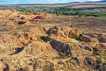
Ilakaka sapphire mine, one of Earth's largest known alluvial sapphire deposits, Ilakaka, Ihorombe Region, Madagascar, Africa

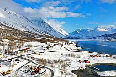
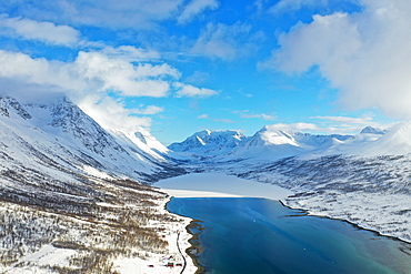
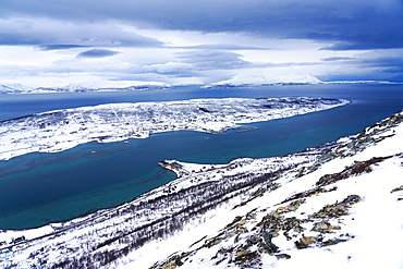
Drone view of Lyngen Alps, Nordlenangen, Lyngen peninsula, Troms County, Norway, Scandinavia, Europe
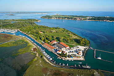
View of Venice from the helicopter, Venice Lagoon, UNESCO World Heritage Site, Veneto, Italy, Europe
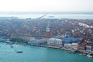
View of Venice from the helicopter, Venice Lagoon, UNESCO World Heritage Site, Veneto, Italy, Europe

Drone view of Lyngen Alps, Nordlenangen, Lyngen peninsula, Troms County, Norway, Scandinavia, Europe
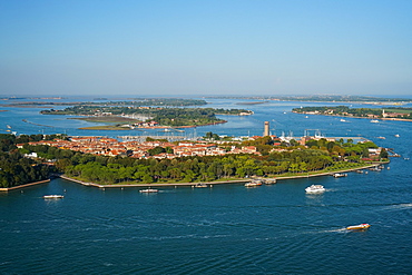
View of Sant'Elena island from the helicopter, Venice Lagoon, UNESCO World Heritage Site, Veneto, Italy, Europe
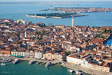
View of Venice from the helicopter, Venice Lagoon, UNESCO World Heritage Site, Veneto, Italy, Europe
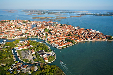
View of Murano island from the helicopter, Venice Lagoon, UNESCO World Heritage Site, Veneto, Italy, Europe
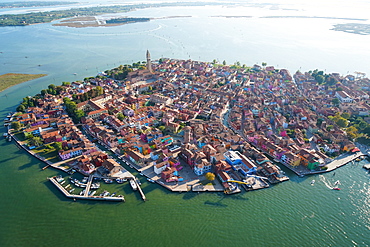
View of Burano island from the helicopter, Venice Lagoon, UNESCO World Heritage Site, Veneto, Italy, Europe

View of Sant'Erasmo island from the helicopter, Venice Lagoon, UNESCO World Heritage Site, Veneto, Italy, Europe

View of Burano island from the helicopter, Venice Lagoon, UNESCO World Heritage Site, Veneto, Italy, Europe

Sandstone landscape at Isalo National Park, Ihorombe Region, Fianarantsoa province, Madagascar, Africa
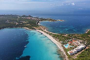
View over Spiaggia del Due Mari to Capo Testa, Santa Teresa di Gallura, Sardinia, Italy, Mediterranean, Europe
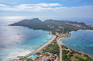
View over Spiaggia del Due Mari to Capo Testa, Santa Teresa di Gallura, Sardinia, Italy, Mediterranean, Europe
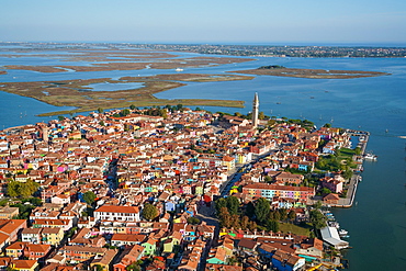
View of Burano island from the helicopter, Venice Lagoon, UNESCO World Heritage Site, Veneto, Italy, Europe
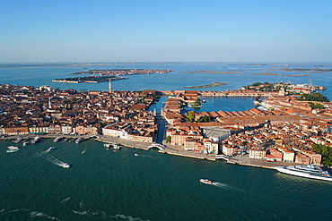
View of the Arsenale of Venice from the helicopter, Venice Lagoon, UNESCO World Heritage Site, Veneto, Italy, Europe
