Results
70 results found
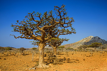
Frankincense trees (Boswellia elongata), Homil Protected Area, island of Socotra, UNESCO World Heritage Site, Yemen, Middle East
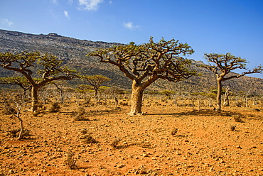
Frankincense trees (Boswellia elongata), Homil Protected Area, island of Socotra, UNESCO World Heritage Site, Yemen, Middle East
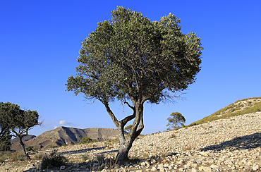
Olive tree in semi desert area near Rodalquilar, Cabo de Gata natural park, Almeria, Andalusia, Spain, Europe
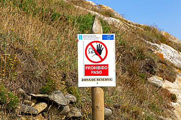
Sign protected area (Zone de Reserva), Cies Islands, Atlantic Islands Galicia Maritime Terrestrial National Park, Galicia, Spain, Europe
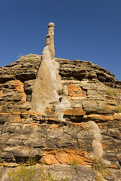
Sandstone hills and termite mounds in The Domes area of Purnululu National Park (Bungle Bungle), UNESCO World Heritage Site, Western Australia, Australia, Pacific
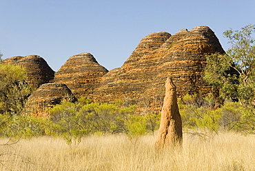
Sandstone hills and termite mounds in The Domes area of Purnululu National Park (Bungle Bungle), UNESCO World Heritage Site, Western Australia, Australia, Pacific
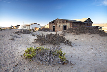
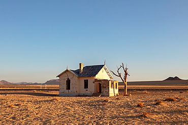
Buildings in the abandoned former German diamond mining town of Kolmanskop on the edge of the Namib Desert, Forbidden Diamond Area near Luderitz, Namibia

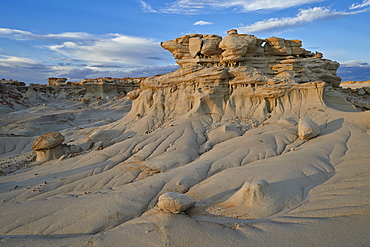
Rocks in the badlands, Ah-Shi-Sle-Pah Wilderness Study Area, New Mexico, United States of America, North America
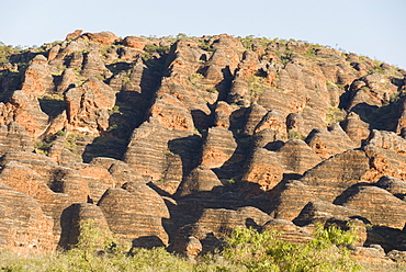
Sandstone hills in The Domes area of Purnululu National Park (Bungle Bungle), UNESCO World Heritage Site, Western Australia, Australia, Pacific
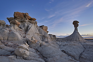
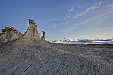
Hoodoo at dusk, Ah-Shi-Sle-Pah Wilderness Study Area, New Mexico, United States of America, North America
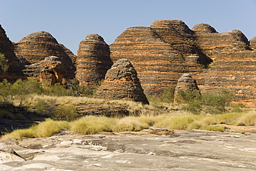
Sandstone hills in The Domes area of Purnululu National Park (Bungle Bungle), UNESCO World Heritage Site, Western Australia, Australia, Pacific
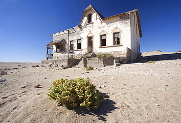
House slowly being reclaimed by the desert in the abandoned former German diamond mining town of Kolmanskop on the edge of the Namib Desert, Forbidden Diamond Area near Luderitz, Namibia, Africa
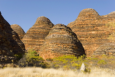
Sandstone hills in The Domes area of Purnululu National Park (Bungle Bungle), UNESCO World Heritage Site, Western Australia, Australia, Pacific
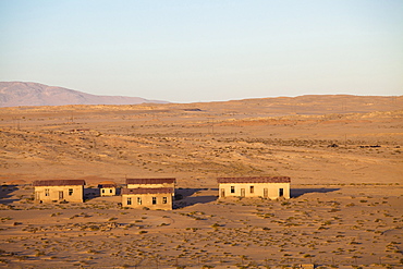
Buildings in the abandoned former German diamond mining town of Kolmanskop on the edge of the Namib Desert, Forbidden Diamond Area near Luderitz, Namibia

Rock formation in the badlands, Ah-Shi-Sle-Pah Wilderness Study Area, New Mexico, United States of America, North America
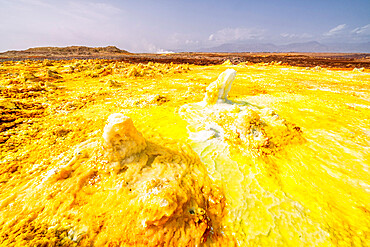
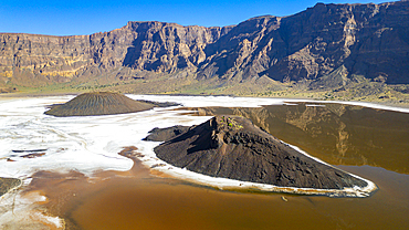
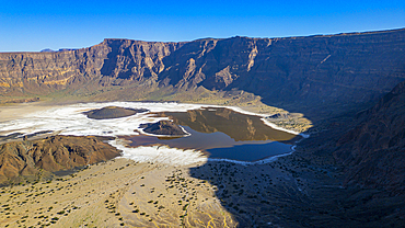
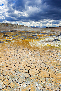
Yellow acid sulphur sediments in the thermal area of Dallol, Danakil Depression, Afar Region, Ethiopia, Africa
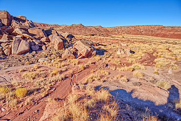
Boulder pile in a valley leading to Dead Wash in Petrified Forest National Park, Arizona, United States of America
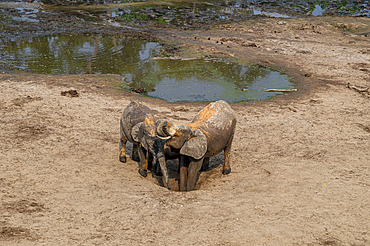
African forest elephant (Loxodonta cyclotis), Dzanga Bai, Dzanga Sangha National Park, UNESCO, Central African Republic
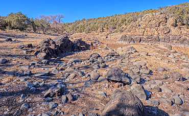
Basalt formation in Johnson Canyon east of the Bainbridge Steel Dam Lake near Ash Fork, Kaibab National Forest, Arizona, United States of America
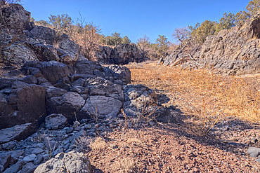
Basalt boulders and cliffs, Johnson Canyon east of Bainbridge Steel Dam Lake near Ash Fork, Kaibab National Forest, Arizona, United States of America
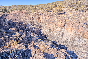
Dry waterfall cliffs, Johnson Canyon between Bainbridge Steel and Stone Dams near Ash Fork, Kaibab National Forest, Arizona, United States of America
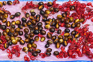
Nutmeg seeds and mace, the aril (the seed covering) laid out to dry, aromatic spices and major crops of the area, Ulu, Siau Island, Sangihe Archipelago, North Sulawesi, Indonesia, Southeast Asia, Asia
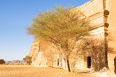
Tombs carved into sandstone rock of Jabal Banat (Qasr Al-Bint) area in site of Hegra (Madain Salih), UNESCO, AlUla, Medina Province, Saudi Arabia
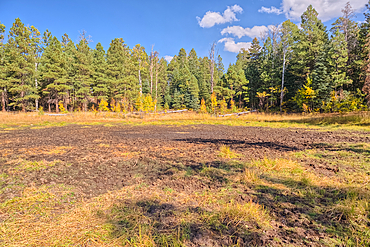
Greenland Lake reduced to a mud hole, Grand Canyon North Rim, UNESCO, Arizona, United States of America
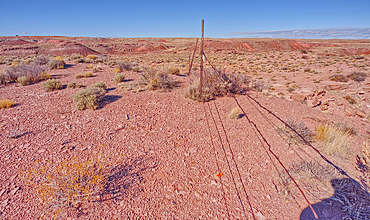
The boundary fence on the east side of Petrified Forest National Park, Arizona, United States of America
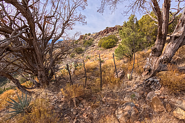
Boundary gate and cattle-proof fence between Coconino National Forest and Wet Beaver Creek Wilderness, Arizona, United States of America

A red sand dune below a sandstone mesa, at Ferry Swale in the Glen Canyon Recreation Area near Page, Arizona, United States of America, North America
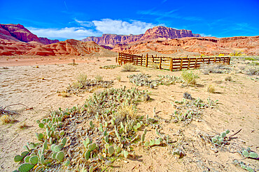
Lonely Dell Ranch Corral at Vermilion Cliffs National Monument near the Glen Canyon Recreation Area, Arizona, United States of America, North America
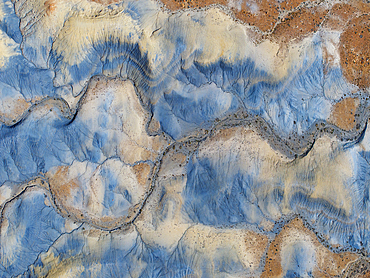
Aerial abstract view taken by drone of desert area near to Big Water during a sunny summer day, Utah, United States of America, North America
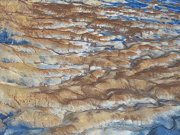
Aerial abstract view taken by drone of desert area near to Big Water during a sunny summer day, Utah, United States of America, North America

A dry waterfall at the base of a rock island at Ferry Swale in the Glen Canyon Recreation Area near Page, Arizona, United States of America, North America
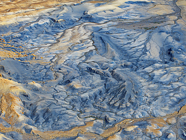
Aerial abstract view taken by drone of desert area near to Big Water during a sunny summer day, Utah, United States of America, North America
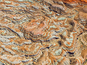
Aerial abstract view taken by drone of desert area near to Goblin Valley National Park during a sunny summer day, Utah, United States of America, North America
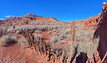
The cattle corral of Lonely Dell Ranch, managed by the National Park Service, at Glen Canyon Recreation Area, Arizona, United States of America, North America
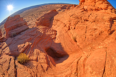
A dry waterfall at the base of a rock island at Ferry Swale in the Glen Canyon Recreation Area near Page, Arizona, United States of America, North America
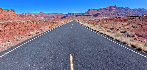
View of Glen Canyon Recreation Area from the middle of Lees Ferry Road at Marble Canyon, Arizona, United States of America, North America
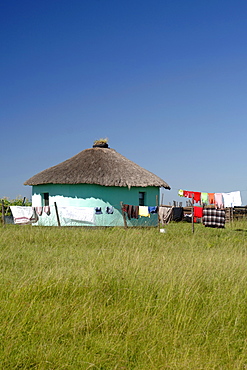
Washing hanging out to dry in the Eastern Cape Province of South Africa. This is an area along the Coffee Bay road in a region formerly known as the Transkei,
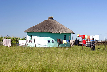
A Xhosa woman hangs out her washing to dry in the Eastern Cape Province of South Africa. This is an area along the Coffee Bay road in a region formerly known as the Transkei,
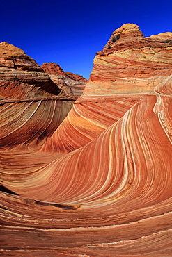
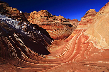
Coyote buttes north, the wave, sandstone formed by wind and water, paria wilderness area, arizona, usa
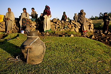
Women fetching water in the hanamerant area ,meket, ethiopia, women fetching water early in the morning. The wells in this area are empty during the dry season,forcing women to walk very long distance to fetch water in the nearest river bed. Ethiopia
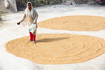
A woman drying her rice crop in the Sunderbans, Ganges, Delta, India, the area is very low lying and vulnerable to sea level rise.
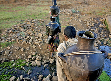
Women fetching water early in the morning. The wells in this area are empty during the dry season,forcing women to walk very long distance to fetch water in the nearest river bed. Ethiopia
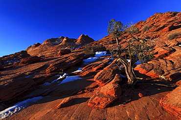
Coyote buttes north, juniper tree, juniperus, wacholder baum, sandstone formed by wind and water, paria wilderness area, arizona, usa
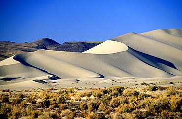
Sand Mountain Recreation Area, a 600ft sand dune popular with off-roaders, east of Fallon, by Highway 50 -'The loneliest road in America', The Great Basin, Nevada, United States of America (USA), North America
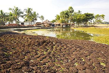
Cow dung belonging to subsistence farmers in the Sunderbans, a low lying area of the Ganges Delta in Eastern India, that is very vulnerable to sea level rise. The cow dung is used as biofuel in traditional clay ovens.
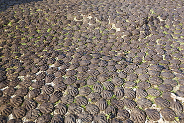
Cow dung belonging to subsistence farmers in the Sunderbans, a low lying area of the Ganges Delta in Eastern India, that is very vulnerable to sea level rise. The cow dung is used as biofuel in traditional clay ovens.
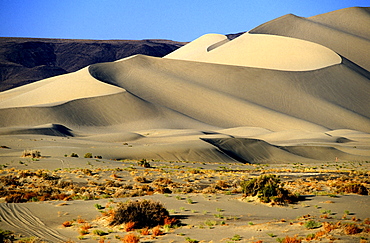
Sand Mountain Recreation Area, a 600ft sand dune popular with off-roaders, east of Fallon, by Highway 50 -'The Loneliest Road in America', The Great Basin, Nevada, United States of America (USA), North America
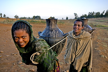
Women fetching water early in the morning. The wells in this area are empty during the dry season,forcing women to walk very long distance to fetch water in the nearest river bed. Ethiopia
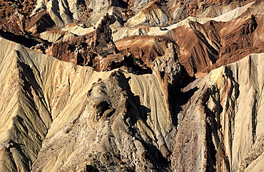
The 1500ft deep Upheaval Dome, possibly caused by the movement of salt deposits under the sandstone, in the Island in the Sky area of this spectacular park, Canyonlands National Park, Utah, United States of America (USA), North America
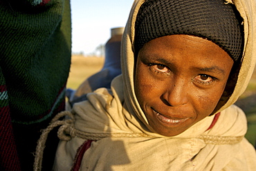
Women fetching water early in the morning. The wells in this area are empty during the dry season,forcing women to walk very long distance to fetch water in the nearest river bed. Ethiopia
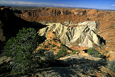
The 1500ft deep Upheaval Dome, possibly caused by the movement of salt deposits under the sandstone, in the Island in the Sky area of this spectacular park, Canyonlands National Park, Utah, United States of America (USA), North America
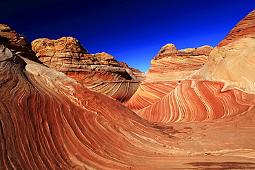
Coyote buttes north, the wave, sandstone formed by wind and water, paria wilderness area, arizona, usa
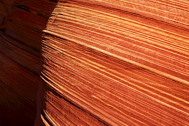
Coyote buttes north, fragile sandstone formed by wind and water, paria wilderness area, arizona, usa
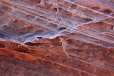
Coyote buttes north, fragile sandstone formed by wind and water, paria wilderness area, arizona, usa
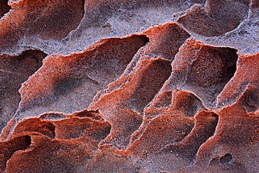
Coyote buttes north, fragile sandstone formed by wind and water, paria wilderness area, arizona, usa
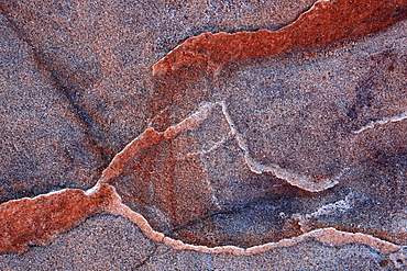
Coyote buttes north, fragile sandstone formed by wind and water, paria wilderness area, arizona, usa
