Results
25 results found
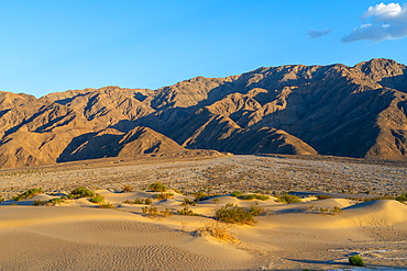
Mesquite Flat Sand Dunes and rocky mountains in desert, Death Valley National Park, Eastern California, California, United States of America, North America
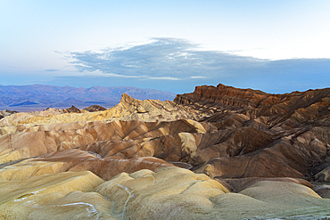
Natural rock formations with Manly Beacon at Zabriskie Point at dusk, Death Valley National Park, Eastern California, California, United States of America, North America
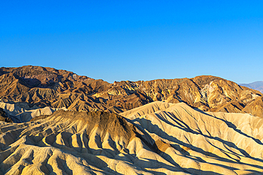
Natural rock formations at Zabriskie Point, Death Valley National Park, Eastern California, California, United States of America, North America
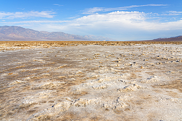
Salt pans on sunny day, Badwater Basin, Death Valley National Park, Eastern California, California, United States of America, North America
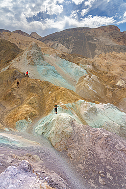
Tourists exploring colorful rocks at Artist's Palette, Death Valley National Park, Eastern California, California, United States of America, North America
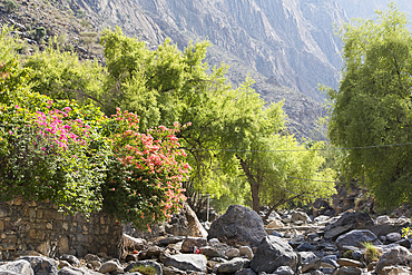
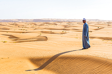
Wadi Bani Awf, North Eastern slope of Jebel Akhdar, Western Hajar Mountains, Al-Dakhiliyah region, Sultanate of Oman, Arabian Peninsula
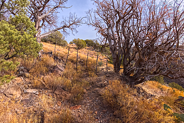
Boundary gate and cattle-proof fence between Coconino National Forest and Wet Beaver Creek Wilderness, Arizona, United States of America

The eastern edge of the Clam Bed Mesa along the Red Basin Trail in Petrified Forest National Park, Arizona, United States of America, North America

Mar Saba, one of the oldest continuously inhabited monasteries in the world, eastern Judean Desert, Israel
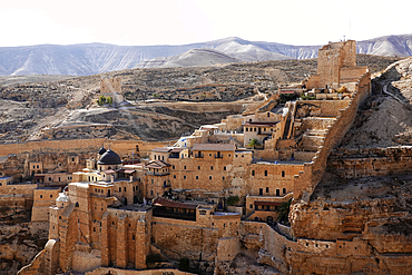
Mar Saba, one of the oldest continuously inhabited monasteries in the world, eastern Judean Desert, Israel
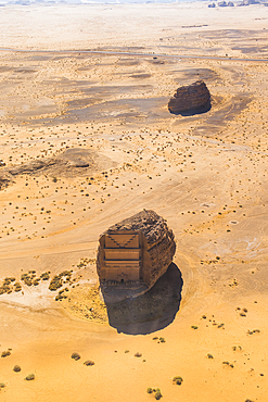
Aerial view of Qasr al-Farid, the largest tomb within Site of Hegra (Madain Salih), UNESCO, in the area of AlUla, Medina Province, Saudi Arabia
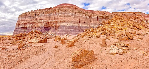
The eastern edge of the Clam Bed Mesa along the Red Basin Trail in Petrified Forest National Park, Arizona, United States of America, North America
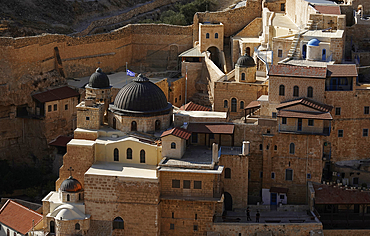
Mar Saba, one of the oldest continuously inhabited monasteries in the world, eastern Judean Desert, Israel
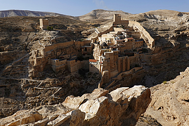
Mar Saba, one of the oldest continuously inhabited monasteries in the world, eastern Judean Desert, Israel
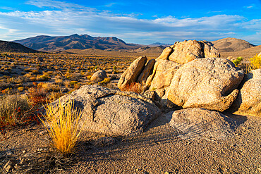
Scenic view of desert of Death Valley National Park during sunset, Eastern California, California, USA
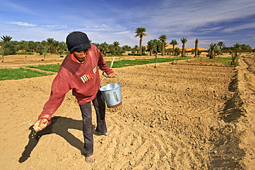
A berber man sowing seeds from a bucket in the plantations of the village of Merzouga on the egde of the Erg Chebbi sand dunes on the periphery of the Sahara desert in eastern Morocco
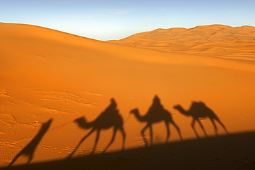
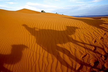
Shadow of a berber man leading three camels though the sand dunes of Erg Chebbi on the periphery of the Sahara desert near Merzouga in eastern Morocco

The sand dunes of Erg Chebbi near the town of Merzouga on the periphery of the Sahara desert in eastern Morocco at dawn.

A berber man in traditional outfit leads a woman on a camel through the dunes of Erg Chebbi on the periphery of the Sahara desert in eastern Morocco

A berber man leading his dromedary camels into the sand dunes of Erg Chebbi near Merzouga on the periphery of the Sahara desert in eastern Morocco

The village of Merzouga in eastern Morocco The sand dunes of Erg Chebbi lying on the edge of the Sahara desert can be seen in the distance.
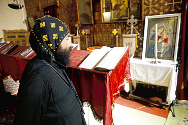
Studying in Apostles church, St. Antony's (St. Anthony's) Coptic monastery, Eastern Desert, Egypt, North Africa, Africa
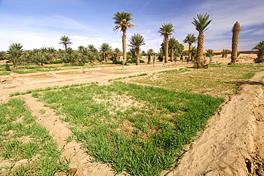
Agricultural fields outside the village of Merzouga on the edge of the Sahara desert in eastern Morocco
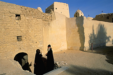
Monk and guest by monastery walls, St. Antony's (St. Anthony's) Coptic Monastery, Eastern Desert, Egypt, North Africa, Africa

The sand dunes of Erg Chebbi near the town of Merzouga on the periphery of the Sahara desert in eastern Morocco at dawn.
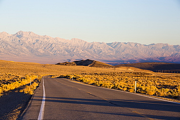
Dawn light on the eastern slopes of the Great Western Divide mountains from the road into Death Valley, California, USA.
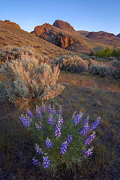
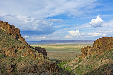
Lupine and Pike Rock from Pike Creek Trail, on Steens Mountain above the Alvord Desert in eastern Oregon.
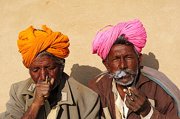
Smoking men with turbans and old uniform jackets from the former Eastern Bloc states, Thar Desert, Rajasthan, North India, India, Asia

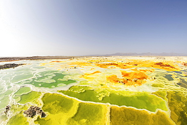
Donkeys transport salt blocks from the salt mines, Assale Salt Lake, Lake Assale, Danakil Valley, Afar Region, Ethiopia, Africa
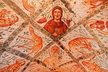
Interior frescoes, Qusair Amra, Qusayr Amra, Small Palace of Amra, Unesco World Heritage Site, desert castle east of Amman, Jordan, Asia
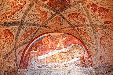
Interior frescoes, Qusair Amra, Qusayr Amra, Small Palace of Amra, Unesco World Heritage Site, desert castle east of Amman, Jordan, Asia
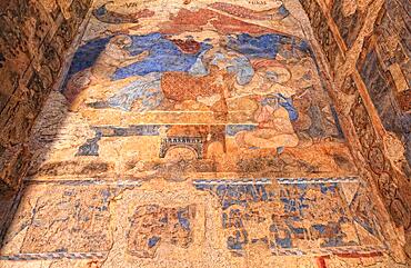
Interior frescoes, Qusair Amra, Qusayr Amra, Small Palace of Amra, Unesco World Heritage Site, desert castle east of Amman, Jordan, Asia
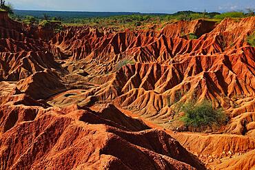
Republic of Colombia, Tatacoa Desert, landscape in the department of Huila, Desierto de la Tatacoa, Tatacoa Desert is a desert of about 330 km² in Colombia, in the northern part of the province of Huila in the valley of the Rio Magdalena, a dry basin at the foot of the Eastern Cordillera, tropical dry forest, playful rock cones, washed-out gorges and rock formations, Colombia, South America
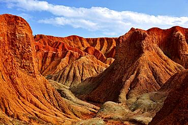
Republic of Colombia, Tatacoa Desert, landscape in the department of Huila, Desierto de la Tatacoa, Tatacoa Desert is a desert of about 330 km² in Colombia, in the northern part of the province of Huila in the valley of the Rio Magdalena, a dry basin at the foot of the Eastern Cordillera, tropical dry forest, playful rock cones, washed-out gorges and rock formations, Colombia, South America
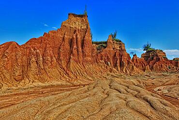
Republic of Colombia, Tatacoa Desert, landscape in the department of Huila, Desierto de la Tatacoa, Tatacoa Desert is a desert of about 330 km² in Colombia, in the northern part of the province of Huila in the valley of the Rio Magdalena, a dry basin at the foot of the Eastern Cordillera, tropical dry forest, playful rock cones, washed-out gorges and rock formations, Colombia, South America
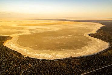
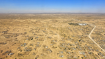
Aerial view, dried-out salt lake, eastern edge of the Etosha Pan, Etosha National Park, Namibia, Africa
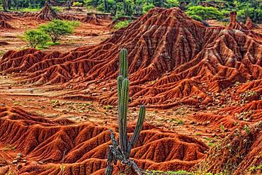
Republic of Colombia, Tatacoa Desert, landscape in the department of Huila, Desierto de la Tatacoa, Tatacoa Desert is a desert of about 330 km² in Colombia, in the northern part of the province of Huila in the valley of the Rio Magdalena, a dry basin at the foot of the Eastern Cordillera, tropical dry forest, playful rock cones, washed-out gorges and rock formations, Colombia, South America
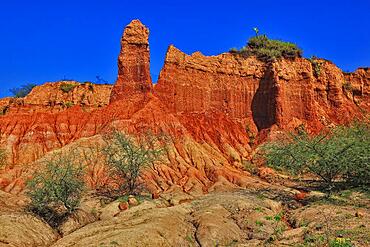
Republic of Colombia, Tatacoa Desert, landscape in the department of Huila, Desierto de la Tatacoa, Tatacoa Desert is a desert of about 330 km² in Colombia, in the northern part of the province of Huila in the valley of the Rio Magdalena, a dry basin at the foot of the Eastern Cordillera, tropical dry forest, playful rock cones, washed-out gorges and rock formations, Colombia, South America
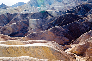
USA, California, Death Valley is a desert valley located in Eastern California. It is the lowest, driest, and hottest area in North America. Zabriskie Point.
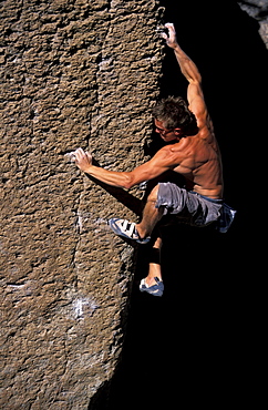
Rock climber Erik Chabala bouldering on Bachar Boulders near Bishop, California in the eastern Sierra Nevada mountains near Hwy 395.
