Results
4 results found
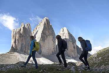
Three hikers at foot of Tre Cime di Lavaredo (Three Peaks of Lavaredo), Three Peaks Nature Park, Dolomites, UNESCO, South Tyrol, Italy
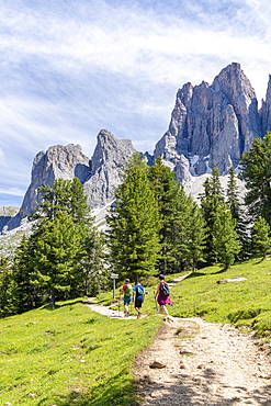
Hikers walking on the Adolf Munkel trail at foot of the Odle, Val di Funes, South Tyrol, Dolomites, Italy, Europe
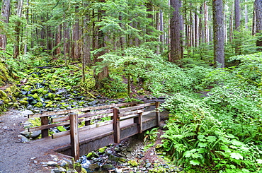
Foot Bridge, Trail to Sol Duc Falls, Rain Forest, Olympic National Park, UNESCO World Heritage Site, Washington, United States of America, North America
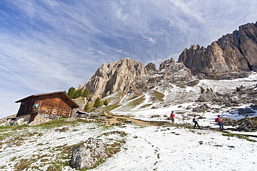
Hikers walking along the trail at the foot of the Sassolungo and Sassopiatto after a snowfall during springtime, Trentino-Alto Adige, Italy, Europe

Three participants of the UTMB are running in the hills of Chamonix. The famous peaks of the Mont Blanc range are in the background. The Ultra-Trail du Mont-Blanc (also referred to as UTMB) is a single-stage mountain ultramarathon. It takes place once a year in the Alps, across France, Italy and Switzerland. The distance is approximately 166 kilometres (103 mi), with a total elevation gain of around 9,600 m. It is widely regarded as one of the most difficult foot races in Europe. It's certainly one of the largest with over two thousand starters. The combined participation in all of the events is approaching 10 thousand runners. While the best runners complete the loop in slightly more than 20 hours, most runners take 30 to 45 hours to reach the finish line.

An elderly woman is running in the hills of Chamonix. She is close to finishing the extremely exhausting UTMB race. The Ultra-Trail du Mont-Blanc (also referred to as UTMB) is a single-stage mountain ultramarathon. It takes place once a year in the Alps, across France, Italy and Switzerland. The distance is approximately 166 kilometres (103 mi), with a total elevation gain of around 9,600 m. It is widely regarded as one of the most difficult foot races in Europe. It's certainly one of the largest with over two thousand starters. The combined participation in all of the events is approaching 10 thousand runners. While the best runners complete the loop in slightly more than 20 hours, most runners take 30 to 45 hours to reach the finish line.
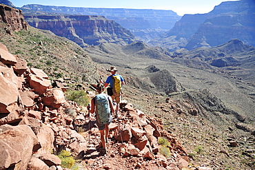
Hikers descend into Surprise Valley to access the lower canyon through a break in the 400-foot-tall Redwall on the Thunder River Trail in the Grand Canyon outside of Fredonia, Arizona November 2011. The 21.4-mile loop starts at the Bill Hall trailhead on the North Rim and descends 2000-feet in 2.5-miles through Coconino Sandstone to the level Esplanada then descends further into the lower canyon to access Thunder River, Tapeats Creek and Deer Creek.
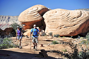
Hikers on the sandstone Esplanade of the Thunder River Trail below the North Rim of the Grand Canyon outside Fredonia, Arizona November 2011. The 21.4-mile loop descends 2000-feet in 2.5-miles through Coconino Sandstone from the Bill Hall trailhead to connect the Thunder River and Deer Creeks trails. Hikers descend into the lower canyon through a break in the 400-foot-tall Redwall to access Surprise Valley, Deer Creek, Tapeats Creek via Thunder River and even the Colorado River.
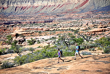
Hikers on the sandstone Esplanade of the Thunder River Trail below the North Rim of the Grand Canyon outside Fredonia, Arizona November 2011. The 21.4-mile loop descends 2000-feet in 2.5-miles through Coconino Sandstone from the Bill Hall trailhead to connect the Thunder River and Deer Creeks trails. Hikers descend into the lower canyon through a break in the 400-foot-tall Redwall to access Surprise Valley, Deer Creek, Tapeats Creek via Thunder River and even the Colorado River.
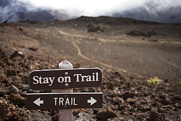
A sign telling hikers to stay on the trail in Haleakala crater. Hiking off-trail leads to significant soil erosion in the delicate volcanic soils, Maui, Hawaii, United States of America
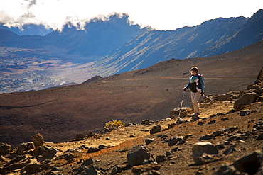
A woman in her thirties carrying an infant hikes in the high-elevation volcanic Haleakala crater, Maui, Hawaii, United States of America
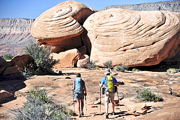
Hikers on the sandstone Esplanade of the Thunder River Trail below the North Rim of the Grand Canyon outside Fredonia, Arizona November 2011. The 21.4-mile loop descends 2000-feet in 2.5-miles through Coconino Sandstone from the Bill Hall trailhead to connect the Thunder River and Deer Creeks trails. Hikers descend into the lower canyon through a break in the 400-foot-tall Redwall to access Surprise Valley, Deer Creek, Tapeats Creek via Thunder River and even the Colorado River.


