Results
3 results found
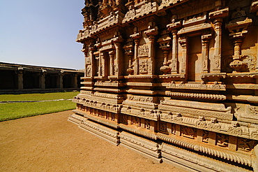
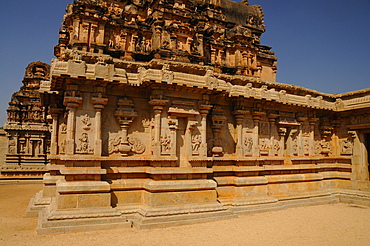
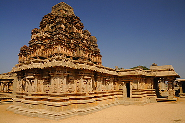
Outer wall of the Amman shrine, Hazara Rama Temple, Royal Center (Royal Enclosure), Hampi, UNESCO World Heritage Site, Karnataka, India, Asia
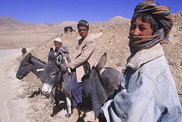
Young boys on donkeys watch over flocks of goats, sheep and donkeys near the top of the Shebar Pass, which crosses into the Province of Bamiyan. Due to a devastating drought in the region, dry wheat farming has failed for three years from 1998-2002 and the forage is extremely sparse, The pass is a strategic point leading into the Central Highlands, the Koh-i-Baba range and the Hazarajat, at the end of the Hindu Kush. Most of the people of this region are of the Hazara tribe, and are Shi'a Moslems who have been persecuted for centuries by many of the Pashtun rulers of Afghanistan, who are from the Sunni sect.
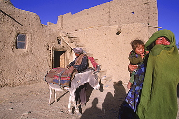
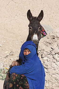
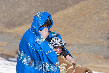
Striking Mongol features distinguish the face of a woman and her child (who is blind) living in the ruins of the Qala-i-Dokthar (Daughter's Castle), outside of the town of Bamiyan, August 30, 2002. Most of the old town was destroyed and up to 20,000 people of the region might have perished when Bamiyan fell to the Taliban in 2001. Bamiyan Valley is located in the Hazarajat at the edge of the Koh-i-Baba range , the end of the Hindu Kush. Bamiyan was a prosperous Buddhist kingdom on the ancient Silk Road until the 10th century, when the region was converted to Islam; in the 12th century, it was destroyed by Ghengis Khan. Most of the people of this region are of the Hazara tribe, and are Shi'a Moslems who have been persecuted for centuries by many of the Pashtun rulers of Afghanistan, who are from the Sunni sect. They most recently suffered at the hand of the Taliban, who tried for years to ethnically cleanse the region of its Shi'a people.
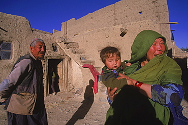
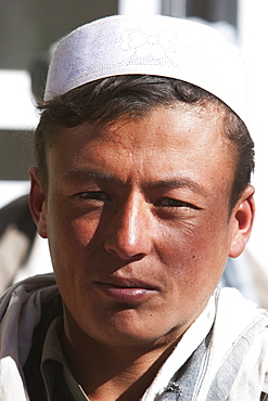
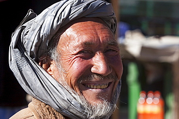
Striking Mongol features distinguish the face of Hamir Mohammed, his daughter and grandson (who is blind), all living in the ruins of the Qala-i-Dokthar (Daughter's Castle), outside of the town of Bamiyan, August 30, 2002. Most of the old town was destroyed and up to 20,000 people of the region might have perished when Bamiyan fell to the Taliban in 2001. Bamiyan Valley is located in the Hazarajat at the edge of the Koh-i-Baba range , the end of the Hindu Kush. Bamiyan was a prosperous Buddhist kingdom on the ancient Silk Road until the 10th century, when the region was converted to Islam; in the 12th century, it was destroyed by Ghengis Khan. Most of the people of this region are of the Hazara tribe, and are Shi'a Moslems who have been persecuted for centuries by many of the Pashtun rulers of Afghanistan, who are from the Sunni sect. They most recently suffered at the hand of the Taliban, who tried for years to ethnically cleanse the region of its Shi'a people
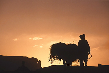
A farmer with his donkey loaded with forage walks toward the setting sun above the town of Bamiyan, August 30, 2002. Most of the old town was destroyed and up to 20,000 people of the region might have perished when Bamiyan fell to the Taliban in 2001. Bamiyan Valley is located in the Hazarajat at the edge of the Koh-i-Baba range , the end of the Hindu Kush. Bamiyan was a prosperous Buddhist kingdom on the ancient Silk Road until the 10th century, when the region was converted to Islam; in the 12th century, it was destroyed by Ghengis Khan. Most of the people of this region are of the Hazara tribe, and are Shi'a Moslems who have been persecuted for centuries by many of the Pashtun rulers of Afghanistan, who are from the Sunni sect. They most recently suffered at the hand of the Taliban, who tried for years to ethnically cleanse the region of its Shi'a people
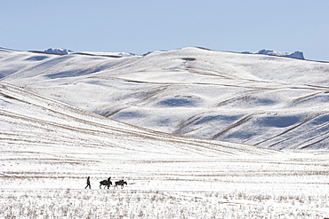
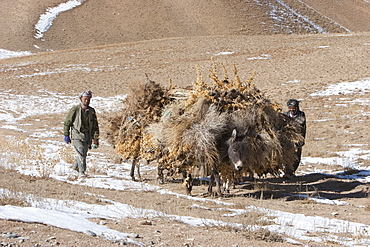
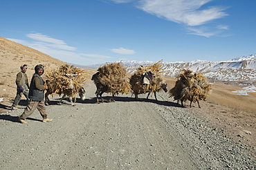
Hazara farmers & donkeys laden with brushwood along the Shahidan Pass in winter, Bamian Province, Afghanistan
