Results
1 2 Next »
123 results found
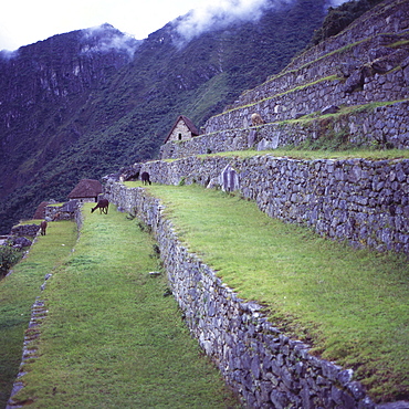
Llamas eat grass near the main entrance of Machu Picchu, UNESCO World Heritage Site, Peru, South America
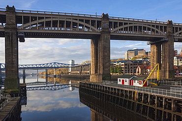
High Level Bridge, designed by Robert Stevenson in 1847, finished in 1849, structure of wrought Iron, railway and road bridge across the River Tyne, Redheugh Bridge beyond, Tyne and Wear, England, United Kingdom, Europe
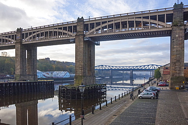
High Level Bridge, designed by Robert Stevenson in 1847, finished in 1849, structure of wrought iron, railway and road bridge across the River Tyne, and the Queen Elizabeth 2nd Metro Bridge, Tyne and Wear, England, United Kingdom, Europe
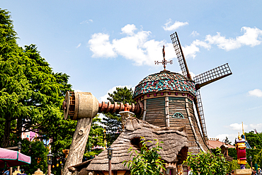
An eye-level shot features a whimsical windmill with faux-wood elements, nestled among green foliage and a partial blue sky at Disneyland Paris.
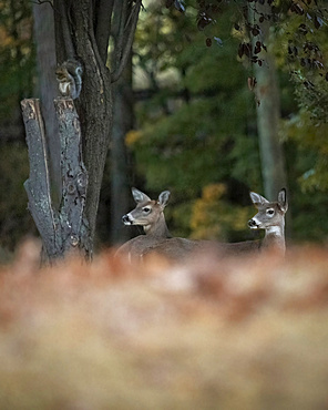
Two young White-tailed Deer are seen in the woods during autumn. A squirrel, blurry in the background, sits on a cut tree limb. The photograph was taken from ground level showing the leaves in the foreground.
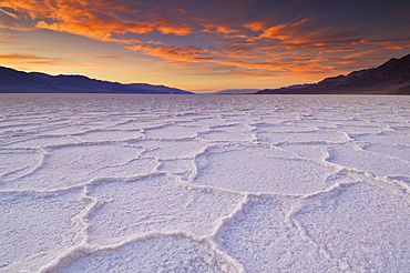
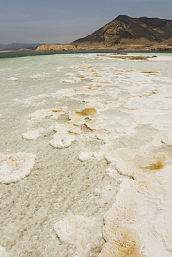
Sunset at the Salt pan polygons, Badwater Basin, 282ft below sea level and the lowest place in North America, Death Valley National Park, California, United States of America, North America
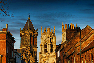
Image shows York Minster, England, flanked by brick buildings under a blue sky. The composition is eye-level, highlighting architectural details.
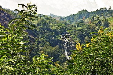
Little Rawana (Ravana) Falls en route to Ella Rock, the upper level of the popular falls in Ella Gap below, Ella, Sri Lanka, Asia
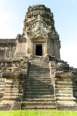
Corner tower of the Bakan level, Angkor Wat Temple complex, UNESCO World Heritage Site, Angkor, Siem Reap, Cambodia, Indochina, Southeast Asia, Asia
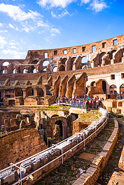
The Colosseum (Flavian Amphitheatre), with the below ground level hypogeum, UNESCO World Heritage Site, Rome, Lazio, Italy, Europe
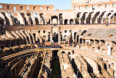
The Colosseum (Flavian Amphitheatre), with the below ground level hypogeum, UNESCO World Heritage Site, Rome, Lazio, Italy, Europe
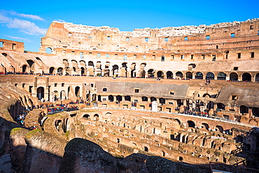
The Colosseum (Flavian Amphitheatre), with the below ground level hypogeum, UNESCO World Heritage Site, Rome, Lazio, Italy, Europe
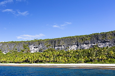
Rising to 260 feet above sea level, Makatea is a raised coral atoll with fresh water, Tuamotus, French Polynesia, South Pacific, Pacific
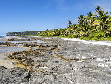
Rising to 260 feet above sea level, Makatea is a raised coral atoll with fresh water, Tuamotus, French Polynesia, South Pacific, Pacific

Plaza Mayor, the lower level of the Metropol Parasol, Plaza de la Encarnacion, Seville, Andalusia, Spain, Europe
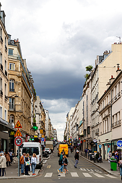
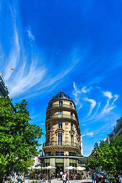
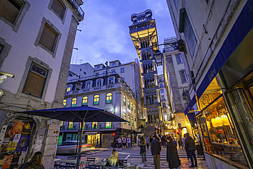
A street view showcases Parisian buildings, pedestrians, vehicles, and a cloudy sky, captured from street level.

Plaza Mayor, the lower level of the Metropol Parasol, Plaza de la Encarnacion, Seville, Andalusia, Spain, Europe
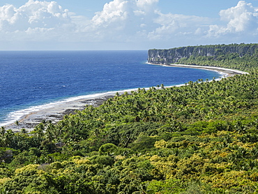
Rising to 260 feet above sea level, Makatea is a raised coral atoll with fresh water, Tuamotus, French Polynesia, South Pacific, Pacific

View from the top of Sfornioi nord mount 2410 meters above sea level, Dolomites, eastern Alps, Veneto, Italy, Europe
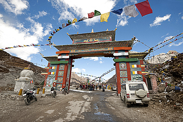
Buddhist prayer flags around the gate to Sela mountain pass at 13700 feet above sea level, Arunachal Pradesh, India, Asia
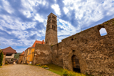
Ground-level view of the Romanesque bell tower of Saint Luke and the stone ruins of the Church of Saint Mary in Jajce, a significant medieval landmark in the historic town.
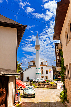
A street-level view of a white mosque with green accents in Jajce, Federation of Bosnia and Herzegovina, Bosnia and Herzegovina. The narrow street scene includes traditional buildings, a hotel sign, and parked cars under a bright summer sky.
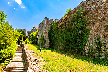
Horizontal shot at ground level of a cobblestone path and steps beside an ivy-covered stone wall at a monastery near Lake Ohrid, under a bright midday sky.
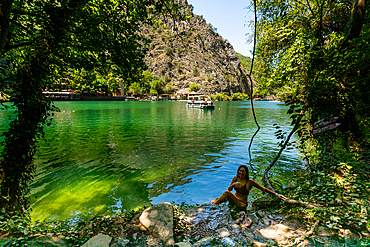
Horizontal eye-level shot framed by overhanging trees, showing a woman sitting at the water’s edge of Matka Canyon with emerald-green waters, a tour boat in the distance, and steep rocky cliffs in the background.
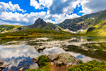
Horizontal, eye-level shot – Lake surface reflecting peaks and clouds, with alpine vegetation in foreground. Rila Mountains, Bulgaria.
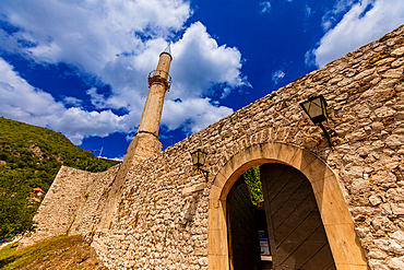
Ground-level upward view of stone fortress walls with arched entrance and tall mosque minaret against a blue sky. Horizontal landscape orientation.
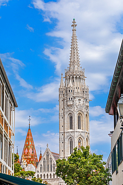
Street-level view of the Gothic Matthias Church tower and spire framed by nearby buildings in the Castle District. Vertical portrait orientation.
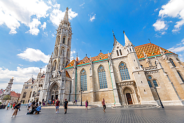
Wide-angle ground-level view of Matthias Church tower and facade, surrounded by visitors in the Castle District square on a sunny day. Horizontal landscape orientation.
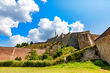
Ground-level wide-angle view of Kalemegdan Fortress stone walls rising above grassy slopes under bright blue skies. Horizontal landscape orientation.
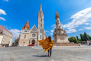
Street-level wide-angle shot of a traveler in yellow coat with flowing fabric approaching Matthias Church and Holy Trinity Column. Horizontal landscape orientation.
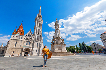
Street-level wide-angle view of a traveler in yellow coat posing before Matthias Church and the Holy Trinity Column in Budapest’s Castle District. Horizontal landscape orientation.
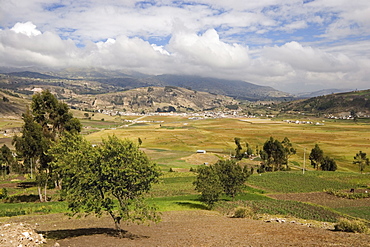
Looking north east across farmland towards Riobamba from the Colta Lake district, Riobamba, Chimborazo Province, Central Highlands, Ecuador, South America

El Tatio Geysers, at 4300m above sea level El Tatio is the world's highest geyser field, the area is ringed by volcanoes and fed by 64 geysers, Atacama Desert, Norte Grande, Chile, South America

El Tatio Geysers, at 4300m above sea level El Tatio is the world's highest geyser field, the area is ringed by volcanoes and fed by 64 geysers, Atacama Desert, Norte Grande, Chile, South America
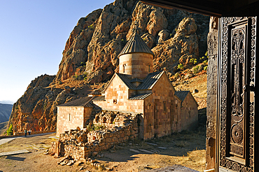
Surb Karapet (St. John the Baptist) Church seen from the upper level of Holy Mother of God Church (Surb Astvatsatsin), Noravank Monastery, near Yeghegnadzor, Armenia, Eurasia
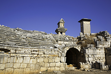
Ground Level, Theater, Xanthos Archaeological Site, Originally Founded 8th Century BC, UNESCO World Heritage Site, Near Kalkan, Antalya, Turkey
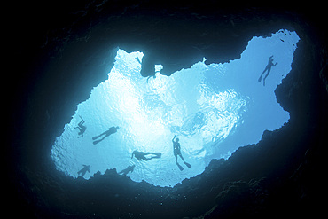
Snorkelers swim above a blue hole on Palau's barrier reef. This hole formed when sea level was much lower than it is today.

El Tatio Geysers, 4300m above sea level, El Tatio is the world's highest geyser field, the area is ringed by volcanoes and fed by 64 geysers, Atacama Desert, Norte Grande, Chile, South America

Salt pan polygons at Badwater Basin, 282ft below sea level and the lowest place in North America, Death Valley National Park, California, United States of America, North America
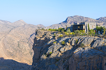
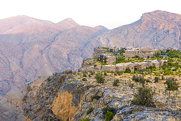
Alila Jabal Akhdar hotel, nestled 2000 metres above sea level, surrounded by Al Hajar Mountains, Sultanate of Oman, Arabian Peninsula
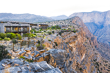
Alila Jabal Akhdar hotel, nestled 2000 metres above sea level, surrounded by Al Hajar Mountains, Sultanate of Oman, Arabian Peninsula
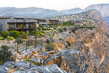
Alila Jabal Akhdar hotel, nestled 2000 metres above sea level, surrounded by Al Hajar Mountains, Sultanate of Oman, Arabian Peninsula
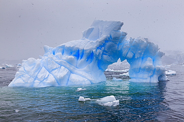
Blue iceberg arch in snowy weather, from sea level, Waterboat Point, Paradise Bay, Graham Land, Antarctic Peninsula, Antarctica, Polar Regions
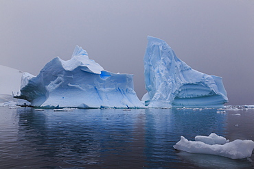
Blue icebergs in snowy weather, from sea level, Waterboat Point, Paradise Bay, Graham Land, Antarctic Peninsula, Antarctica, Polar Regions
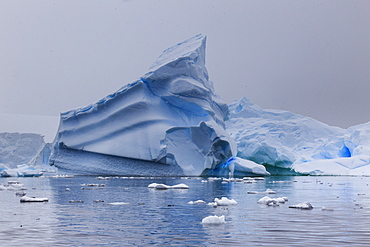
Blue icebergs in snowy weather, from sea level, Waterboat Point, Paradise Bay, Graham Land, Antarctic Peninsula, Antarctica, Polar Regions
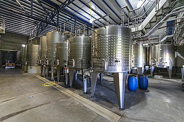
Bodega Colome, a winery located in high Calchaqui valley at 2300 meters above sea level, Salta Province, Argentina, South America

Estancia Colome, vineyards located in the high Calchaqui valley at 2300 meters above sea level, Salta Province, Argentina, South America
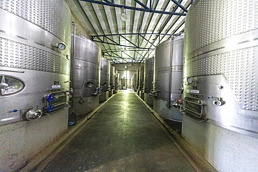
Bodega Colome, a winery located in high Calchaqui valley at 2300 meters above sea level, Salta Province, Argentina, South America
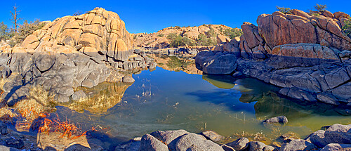
Reflective lagoon along East Bay Trail of Willow Lake, gray line on rock is where the water level used to be, Prescott, Arizona, United States of America, North America

Container-ship crossing the Panama Canal Gatun locks, Panama Canal, Republic of Panama, Central America
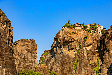
Horizontal ground-level shot capturing a monastery atop a high rock formation, framed by surrounding vertical cliffs under a clear blue sky. The angle emphasizes the height and isolation of the structure without dramatic embellishment.
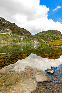
Vertical, eye-level view — Clear mountain lake with submerged rocks visible, Rila Mountains, Bulgaria. Snow patches on surrounding slopes under partly cloudy sky.
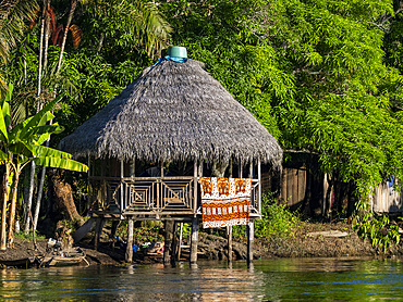
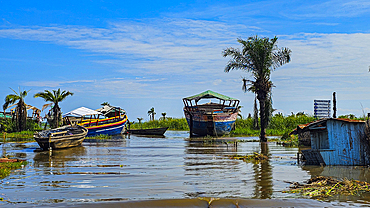
The second highest river level of the 21st century in a small village deep within the Pacaya Samiria Preserve, Peru.
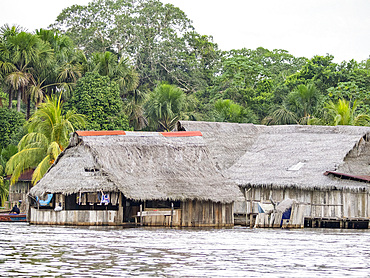
The second highest river level of the 21st century in a small village deep within the Pacaya Samiria Preserve, Peru.

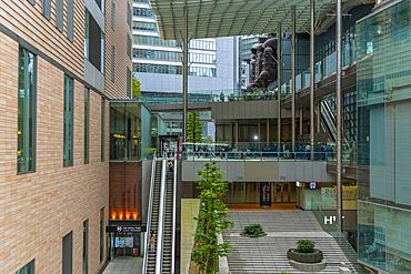
Trafford Centre, Indoor shopping mall, escalators, Greater Manchester, England, United Kingdom, Europe
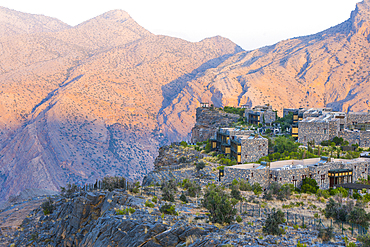
Alila Jabal Akhdar hotel, nestled 2000 metres above sea level, surrounded by Al Hajar Mountains, Sultanate of Oman, Arabian Peninsula
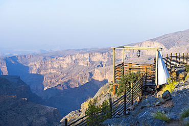
Alila Jabal Akhdar hotel, nestled 2000 metres above sea level, surrounded by Al Hajar Mountains, Sultanate of Oman, Arabian Peninsula
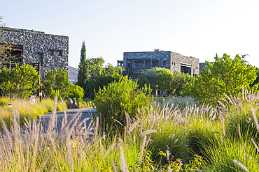
Alila Jabal Akhdar hotel, nestled 2000 metres above sea level, surrounded by Al Hajar Mountains, Sultanate of Oman, Arabian Peninsula
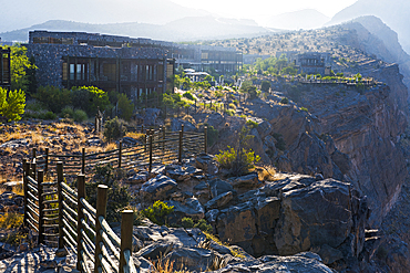
Alila Jabal Akhdar hotel, nestled 2000 metres above sea level, surrounded by Al Hajar Mountains, Sultanate of Oman, Arabian Peninsula
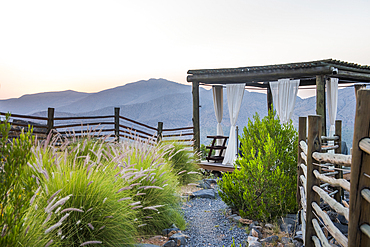
Alila Jabal Akhdar hotel, nestled 2000 metres above sea level, surrounded by Al Hajar Mountains, Sultanate of Oman, Arabian Peninsula
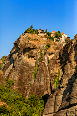
Vertical ground-level shot showing a monastery perched atop a steep rock face, with rugged cliff textures and sparse greenery under a clear blue sky. The framing emphasizes the vertical rise of the formation.
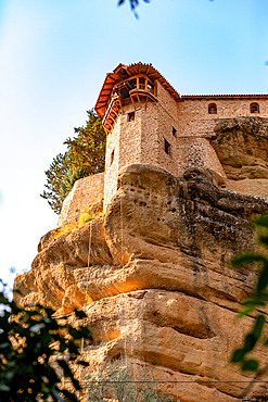
Vertical ground-level shot looking up at a stone monastery tower built on the edge of a steep rock cliff, with warm sunlight highlighting the textures and a soft blue sky above.
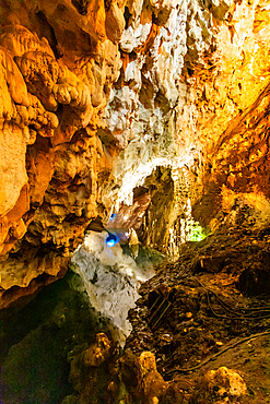
Vertical ground-level shot inside a cave at Matka Canyon, featuring rugged rock formations illuminated by warm artificial lighting with hints of natural green light in the background.
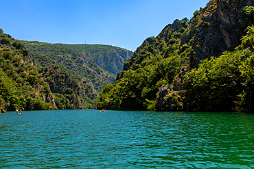
Horizontal eye-level shot of Matka Canyon’s turquoise waters flanked by steep, rocky cliffs covered in dense green vegetation under a clear blue sky.
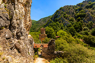
Horizontal eye-level shot showing a stone pathway along a cliffside leading to the remains of an old church with a red-tiled roof, surrounded by dense greenery and mountains at Matka Canyon.
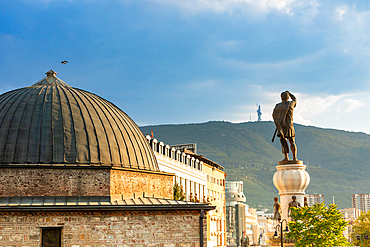
Horizontal eye-level shot of a domed stone building and a large statue of a man holding a sword, set against a backdrop of mountains and a cloudy blue sky in Skopje, North Macedonia.
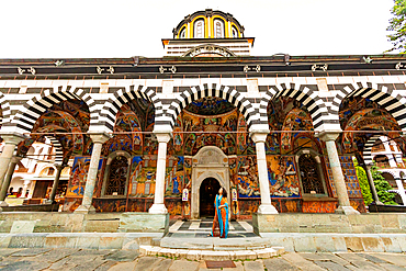
Horizontal, eye-level shot of the main church entrance at Rila Monastery in Rila, Bulgaria, showing striped arches, colorful frescoes, and a person standing in the doorway.
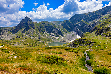
Horizontal, eye-level shot – Meadow and small stream in foreground with peaks and lake in background. Rila Mountains, Bulgaria.
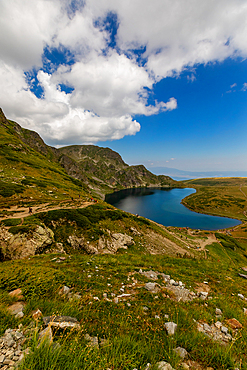
Vertical, eye-level view — Heart-shaped Kidney Lake, Rila Mountains, Bulgaria. Foreground slope with rocky terrain; lake below surrounded by grassy hills.
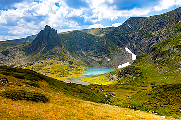
Horizontal, eye-level shot of The Tear Lake in the Seven Rila Lakes area, near Sapareva Banya, Bulgaria. Lake surrounded by steep rocky peaks and grassy slopes.
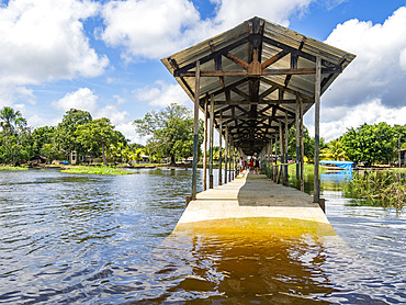
The second highest river level of the 21st century in a small village deep within the Pacaya Samiria Preserve, Peru.
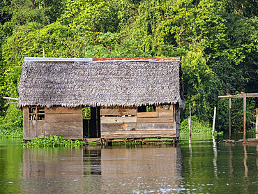
The second highest river level of the 21st century in a small village deep within the Pacaya Samiria Preserve, Peru.
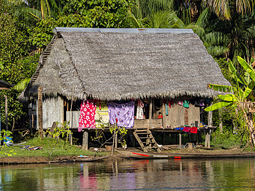
The second highest river level of the 21st century in a small village deep within the Pacaya Samiria Preserve, Peru.
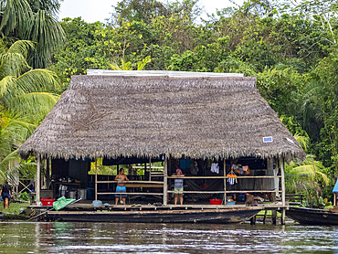
The second highest river level of the 21st century in a small village deep within the Pacaya Samiria Preserve, Peru.
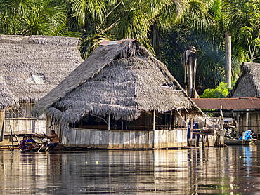
The second highest river level of the 21st century in a small village deep within the Pacaya Samiria Preserve, Peru.
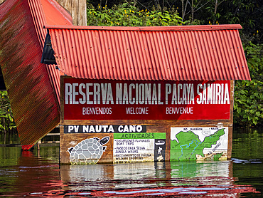
The second highest river level of the 21st century in a small village deep within the Pacaya Samiria Preserve, Peru.
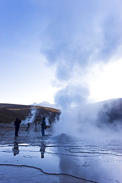
El Tatio Geysers, at 4300m above sea level El Tatio is the world's highest geyser field, the area is ringed by volcanoes and fed by 64 geysers, Atacama Desert, Norte Grande, Chile, South America
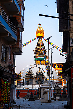
Vertical street-level view of Kathi Swoyambhu Shree Gha Stupa framed by narrow alley walls and dense prayer flags
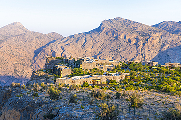
Alila Jabal Akhdar hotel, nestled 2000 metres above sea level, surrounded by Al Hajar Mountains, Sultanate of Oman, Arabian Peninsula
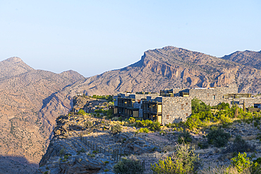
Alila Jabal Akhdar hotel, nestled 2000 metres above sea level, surrounded by Al Hajar Mountains, Sultanate of Oman, Arabian Peninsula

Breakfast at Alila Jabal Akhdar hotel, nestled 2000 metres above sea level, surrounded by Al Hajar Mountains, Sultanate of Oman, Arabian Peninsula
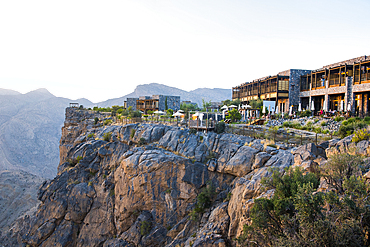
Alila Jabal Akhdar hotel, nestled 2000 metres above sea level, surrounded by Al Hajar Mountains, Sultanate of Oman, Arabian Peninsula
