Results
30 results found
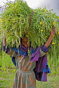
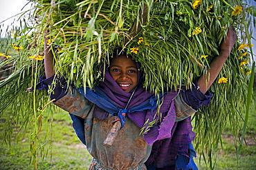
Portait of local girl carrying a large bundle of wheat and yellow Meskel flowers, Simien Mountains, The Ethiopian Highlands, Ethiopia, Africa
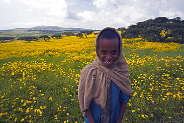
Portrait of local girl, Green fertile fields and yellow Meskel flowers in bloom after the rains, Ethiopian Highlands near the Simien mountains and Gonder, Ethiopia, Africa
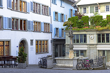
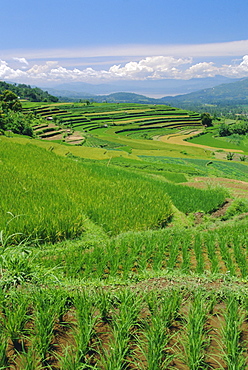
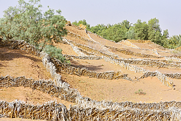
Rice terraces of the Minangkabau, a local matrilineal indigenous ethnic group, near Bukittingi, Sumatra, Indonesia
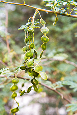
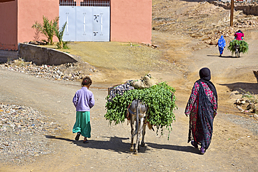
Donkey cart, sugar cane harvest, Ramadi village, west bank of the Nile south of Edfu, Egypt, North Africa, Africa
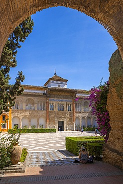
Garden of Alcazar of Sevilla in spring, UNESCO World Heritage Site, Seville, Andalusia, Spain, Europe
Kraken Street art on white walls, Gibraltar Castle Steps, beautiful residential area on the hill of narrow alleys, Gibraltar, Europe
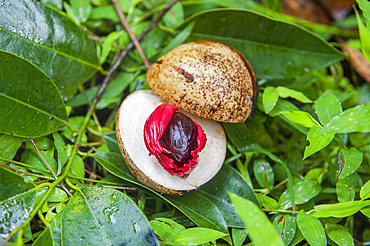
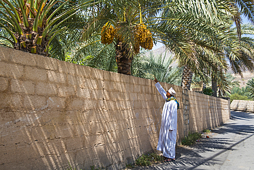
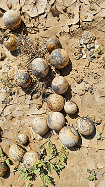
Fruits of Acacia, Botanical Garden on El Nabatat Island (Kitchener's Island), Aswan, Egypt, North Africa, Africa
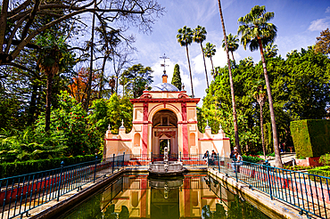
Red street of Monastery of Santa Catalina de Siena, UNESCO World Heritage Site, Arequipa, Arequipa Province, Arequipa Region, Peru, South America
Garden at Monasterio y Museo de la Recoleta, UNESCO World Heritage Site, Arequipa, Arequipa Province, Arequipa Region, Peru, South America
Fresh local basket of lemons in Manarola in Cinque Terre, province of La Spezia, in the Liguria region of Italy, Europe
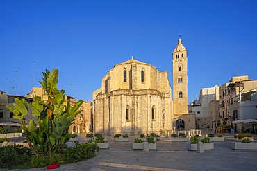
View of local bus and Notre-Dame Auxiliatrice de Cap Malheureux, Cap Malheureux, Mauritius, Indian Ocean, Africa
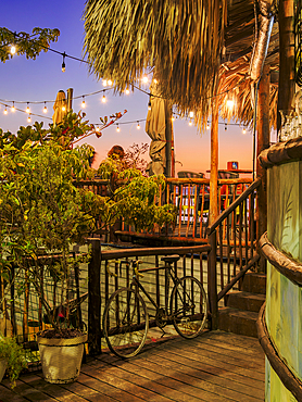
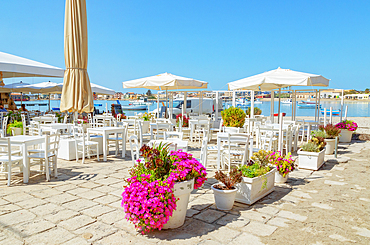
View of colourful local Taverna overlooking Kos Harbour, Kos Town, Kos, Dodecanese, Greek Islands, Greece, Europe
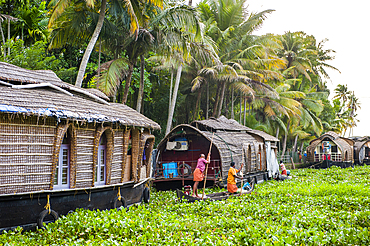
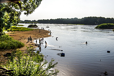
Local boat, Mesopotamian Marshes, The Ahwar of Southern Iraq, UNESCO World Heritage Site, Iraq, Middle East
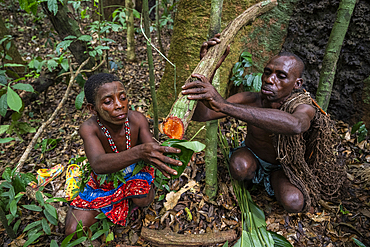
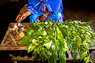
Aboriginal Yolngu elder applying local plants to sand bite wounds, East Arnhem Land, Northern Territory, Australia, Pacific
Busy shopping street and local food on display in Ciqikou Old Town, Shapingba, Chongqing, China, Asia
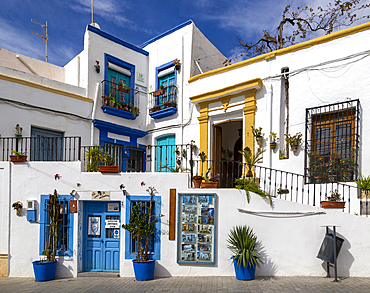
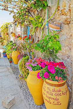
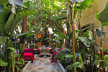
Bougainvillea and other tropical plants in pots outside
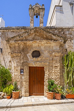
a doorway in the old town of Valldemosa
Mallorca, Spain *** Local Caption ***
BOLIVIA Plant for processing medicinal and aromatic herbs, Chizchipani, Caranavi. The project of FUNDAWI. Local farmers visiting the demonstration plot and using the wormery composter
BOLIVIA Plant for processing medicinal and aromatic herbs, Chizchipani, Caranavi. The project of FUNDAWI. Local farmers visiting the demonstration plot
02/04/2009. Senegal, Dakar, Island of Goree, the beach, Unesco World Heritage, The island of Goree was a traditional slaving and trading port, by the colonial powers of Europe, It is a small town of historic houses, with a fort and a protected harbour for trading, Town, local streets, reidential buildings. Dakar, Goree Islnad , Cape Verde Peninsula. Senegal
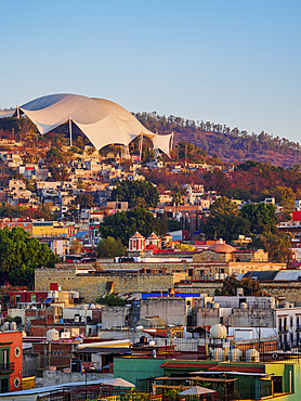
Children cooling off at the catchment of a spring that is fed by water pipes, Basti Lehar Walla village, Punjab, Pakistan, Asia
Children cooling off in the catchment of a spring fed by water pipes, Basti Lehar Walla village, Punjab, Pakistan, Asia
Transport of several trees and potted plants on a moped in the middle of Hanoi, Vietnam, Southeast Asia
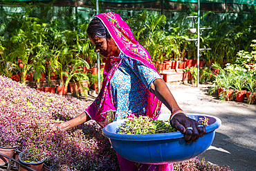
Woman with face mask working in a silk factory, cocoons floating in water, silk is removed and wound on spindles, Dalat, Central Highlands, Vietnam, Asia
Man is working in green terrace rice fields, Upper Marsyangdi valley, Bahundanda, Lamjung District, Nepal, Asia
Toddy Tapper on coconut tree collecting palm juice, Wadduwa, Western Province, Ceylon, Sri Lanka, Asia
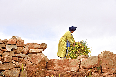
A group of male residents of the village of Iwasoudane cutting the green off the rhizomes of organically grown Irises (Iris germanica) for natural cosmetics in Europe, Ait Inzel Gebel Region, Atlas Mountains, Morocco, Africa
An elderly resident of the village of Iwasoudane harvesting the rhizomes of organically grown Irises (Iris germanica) for natural cosmetics in Europe, Ait Inzel Gebel Region, Atlas Mountains, Morocco, Africa
Mohammed El Malaoui checking the quality of the dried rhizomes of organically cultivated Irises (Iris germanica), which are stored on the roof of the mud house of Hassan Bouship, the chief of the village of Iwasoudane, for natural cosmetics in Europe, Ait Inzel Gebel Region, Atlas Mountains, Morocco, Africa
Residents of the village of Iwasoudanei checking the quality of the dried rhizomes of organically cultivated Irises (Iris germanica), which are stored on the roof of the mud house of Hassan Bouship, the chief of the village of Iwasoudane, for natural cosmetics in Europe, Ait Inzel Gebel Region, Atlas Mountains, Morocco, Africa
Yemenite man standing in front of a Socotra Dragon Tree or Dragon Blood Tree (Dracaena cinnabari), Dixsam plateau, Socotra, Yemen, Asia
"Lueftlmalerei" (religious facade paintings) on a chapel with Christmas tree, Elmau near Klais, Mittenwald, Upper Bavaria, Germany, Europe
Biogas plant, biomass power plant, with combined heat and power unit, CHP, and an adjacent silo, maize silage
Agricultural landscape, women working in green terrace rice fields, in Upper Marsyangdi valley, Bahundanda, Lamjung District, Nepal, Asia
Opening Nordsternpark park, Bundesgartenschau Federal Garden Show 1997, elevated train driving in front of shaft tower, Gelsenkirchen, Ruhr area, North Rhine-Westphalia, Germany, Europe
Aerial view, solar sails, tram station with solar panels on the roofs, Veltins Arena, Gelsenkirchen, Ruhr Area, North Rhine-Westphalia, Germany, Europe
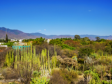
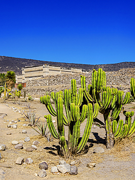
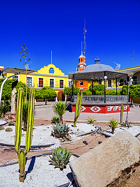
Building with a cactus garden, Lychnostatis Open Air Museum, museum of traditional Cretan life, Hersonissos, Crete, Greece, Europe
Cactus garden, main building, Lychnostatis Open Air Museum, Museum of the traditional Cretan life, Hersonissos, Crete, Greece, Europe
Stone Virgins, Eselsburg Valley near Herbrechtingen, Swabian Alb, Baden-Wuerttemberg, Germany, Europe
Baldeneysee Lake, reservoir of the river Ruhr, towpath, walkers, autumn, Essen, North Rhine-Westphalia, Germany, Europe
Baldeneysee Lake, reservoir of the river Ruhr, sailing boats, autumn, Essen, North Rhine-Westphalia, Germany, Europe
Nimoa Island - here the island mission will impress. The five-sided church features murals of island life and all mission buildings are surrounded by well maintained paths and gardens filled with flowering plants. Edged by jungle-covered mountains, postcard beaches and crystal clear waters - an island paradise indeed! The Louisiade Archipelago is a string of ten larger volcanic islands frequently fringed by coral reefs, and 90 smaller coral islands located 200 km southeast of New Guinea, stretching over more than 160 km and spread over an ocean area of 26,000 km? between the Solomon Sea to the north and the Coral Sea to the south. The aggregate land area of the islands is about 1,790 km? (690 square miles), with Vanatinai (formerly Sudest or Tagula as named by European claimants on Western maps) being the largest. Sideia Island and Basilaki Island lie closest to New Guinea, while Misima, Vanatinai, and Rossel islands lie further east. The archipelago is divided into the Local Level Government (LLG) areas Loui!
Nimoa Island - here the island mission will impress. The five-sided church features murals of island life and all mission buildings are surrounded by well maintained paths and gardens filled with flowering plants. Edged by jungle-covered mountains, postcard beaches and crystal clear waters - an island paradise indeed! The Louisiade Archipelago is a string of ten larger volcanic islands frequently fringed by coral reefs, and 90 smaller coral islands located 200 km southeast of New Guinea, stretching over more than 160 km and spread over an ocean area of 26,000 km? between the Solomon Sea to the north and the Coral Sea to the south. The aggregate land area of the islands is about 1,790 km? (690 square miles), with Vanatinai (formerly Sudest or Tagula as named by European claimants on Western maps) being the largest. Sideia Island and Basilaki Island lie closest to New Guinea, while Misima, Vanatinai, and Rossel islands lie further east. The archipelago is divided into the Local Level Government (LLG) areas Louisiade Rural (western part, with Misima), and Yaleyamba (western part, with Rossell and Tagula islands. The LLG areas are part of Samarai-Murua District district of Milne Bay. The seat of the Louisiade Rural LLG is Bwagaoia on Misima Island, the population center of the archipelago.
Nimoa Island - here the island mission will impress. The five-sided church features murals of island life and all mission buildings are surrounded by well maintained paths and gardens filled with flowering plants. Edged by jungle-covered mountains, postcard beaches and crystal clear waters - an island paradise indeed! The Louisiade Archipelago is a string of ten larger volcanic islands frequently fringed by coral reefs, and 90 smaller coral islands located 200 km southeast of New Guinea, stretching over more than 160 km and spread over an ocean area of 26,000 km? between the Solomon Sea to the north and the Coral Sea to the south. The aggregate land area of the islands is about 1,790 km? (690 square miles), with Vanatinai (formerly Sudest or Tagula as named by European claimants on Western maps) being the largest. Sideia Island and Basilaki Island lie closest to New Guinea, while Misima, Vanatinai, and Rossel islands lie further east. The archipelago is divided into the Local Level Government (LLG) areas Loui!
Back end of tractor carrying a load of harvested cornstalks (Zea Mays) on a highway driving through the countryside; Yarrow, British Columbia, Canada
Sow brown bear (Ursus arctos) feeds on sedges as her yearling cub looks on near McNeil River, Alaska. Brown bears gather in the area each spring and early summer to feed heavily on nutritious sedges prior to the arrival of local salmon runs, Alaska, United States of America