Results
5 results found
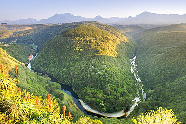
The Map of Africa land formation in the Kaaimans River near Wilderness along the Garden Route in Western Cape Province, South Africa, Africa
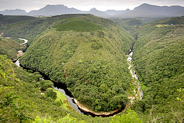
A view of the 'Map of Africa' formation along the Kaaimans river near Wilderness along the Garden Route in South Africa's Western Cape province.
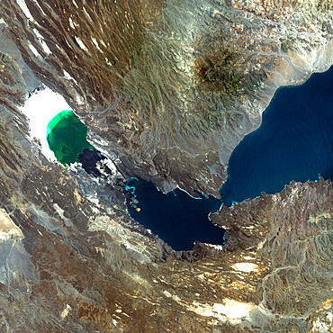
Ardoukoba Volcano, Djibouti, True Colour Satellite Image. Ardoukoba, Djibouti, true colour satellite image. Ardoukoba is a volcano located close to Assal Lake in Djibouti. Image taken on 13 May 2000 using LANDSAT data. Print size 30 x 30 cm.
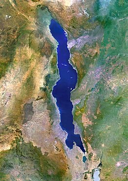
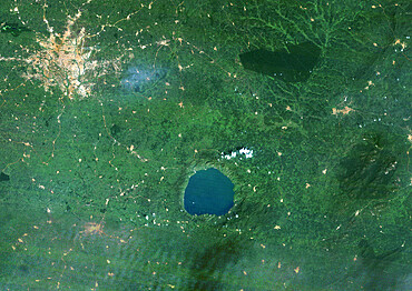
Lake Malawi, Africa, True Colour Satellite Image. True colour satellite image of Lake Malawi, an African Great Lake situated between Malawi, Mozambique, and Tanzania. Composite image using LANDSAT 5 data.
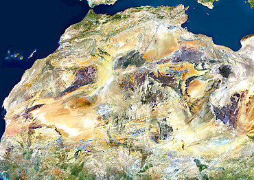
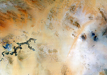
Sahara Desert, Africa, True Colour Satellite Image. Sahara desert, true colour satellite image. The Sahara is the world's largest hot desert, made of sand and volcanic mountains. Composite image using data from LANDSAT 5 & 7 satellites.
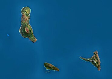
Satellite view of the Comoros Archipelago. This image was compiled from data acquired by Landsat satellites.
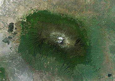
Satellite view of Mount Kilimanjaro, Tanzania. This dormant volcano is the highest mountain in Africa. It is part of the Kilimanjaro National Park. This image was compiled from data acquired by Landsat satellites.

Volcano Tousside In 3D, Chad, True Colour Satellite Image. Pic Tousside, Chad, true colour satellite image. A recent volcano, known as the Pic Tousside, in the Tibesti Mountains in Northwestern tip of Chad (Africa). Composite image dated 2000-2002 using LANDSAT data.
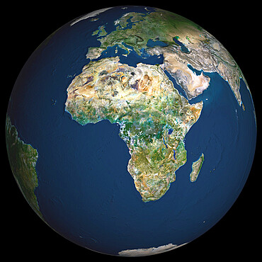
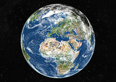
Globe Africa, True Colour Satellite Image. Earth. True colour satellite image of the Earth, centred on Africa
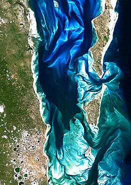
Bazaruto Archipelago, Mozambique, True Colour Satellite Image. True colour satellite image of sand islands of Bazaruto Archipelago off the Mozambique coast. Image taken on 21 April 1989 using LANDSAT data.
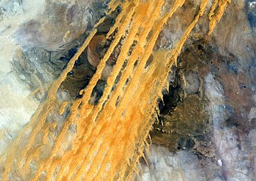
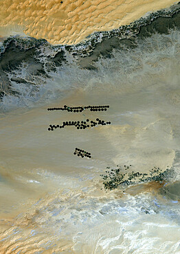
Desert Erg Iguidi, Algeria, True Colour Satellite Image. True colour satellite image of Erg Iguidi, a sand desert between Algeria and Mauritania. The 250m wide dunes lay in the South on a sand plain, and in the North on a blakek sandstone area. The light blue areas are calcareous and salt crusts left out from the evaporation of the oueds' water. Image taken on 29 March 1987 using LANDSAT data.
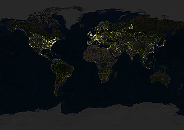
Whole Earth At Night With Country Borders, True Colour Satellite Image. True colour satellite image of the whole Earth at night with country borders. This image in Miller projection was compiled from data acquired by LANDSAT 5 & 7 satellites.
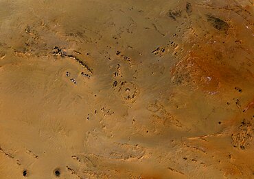
Meteor Impact Crater In The Libyan Desert, Egypt, True Colour Satellite Image. True colour satellite image of an impact structure in the Libyan desert, Egypt. Image taken on 9 November 1986 using LANDSAT data.
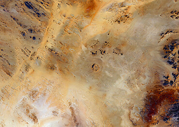
Meteor Impact Crater, Libya, True Colour Satellite Image. True colour satellite image of an impact structure North of Koufra Oasis in the Libyan desert
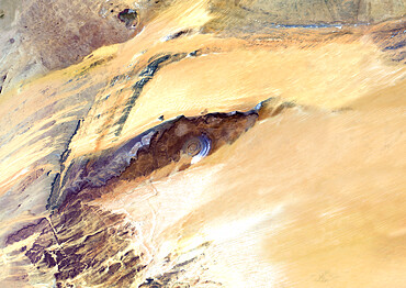
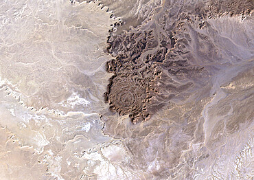
Richat Structure, Mauritania, True Colour Satellite Image. Richat Structure, Mauritania, true colour satellite image

Dakar, Senegal, True Colour Satellite Image. Dakar, Senegal. True colour satellite image of Dakar, capital city of Senegal. Composite of 2 images taken on 4 & 11 November 1999, using LANDSAT 7 data.
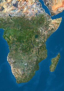
Satellite view of Southern Africa. It shows the African Great Lakes region. This image was compiled from data acquired by Landsat 7 & 8 satellites.
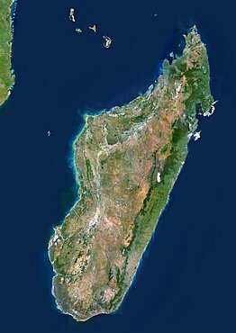
Madagascar, True Colour Satellite Image. Madagascar, true colour satellite image. This image was compiled from data acquired by LANDSAT 5 & 7 satellites.

Satellite view of Senegal River that forms the border between Senegal and Mauritania in West Africa.This image was taken in 2014 by Landsat 8 satellite.
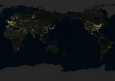
Whole Earth At Night Centred On Pacific Ocean, True Colour Satellite Image. True colour satellite image of the whole Earth at night, centred on the Pacific Ocean. This image in Miller projection was compiled from data acquired by LANDSAT 5 & 7 satellites.
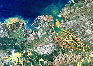
Betsiboka River, Madagascar, True Colour Satellite Image. Betsiboka river, the major river of Madagascar, goes into the Mozambique canal, close to the city of Mahajanga.
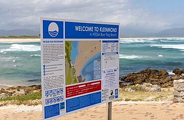
Kleinmond, Western Cape, South Africa, Beach at Kleinmond with welcome and tourist information board
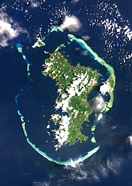
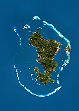
Mayotte, Africa, True Colour Satellite Image. Satellite view of Mayotte, an overseas collectivity of France, in the northern Mozambique Channel in the Indian Ocean. This image was compiled from data acquired by LANDSAT 5 & 7 satellites.
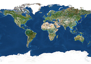
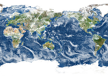
Whole Earth With Country Borders, True Colour Satellite Image. True colour satellite image of the whole Earth with country borders

South Africa, True Colour Satellite Image. South Africa, true colour satellite image. This image was compiled from data acquired by LANDSAT 5 & 7 satellites.

Africa At Night, True Colour Satellite Image. True colour satellite image of Africa at night. This image in Lambert Azimuthal Equal Area projection was compiled from data acquired by LANDSAT 5 & 7 satellites.

Comoros, Africa, True Colour Satellite Image. Satellite view of the Comoros islands. This image was compiled from data acquired by LANDSAT 5 & 7 satellites.
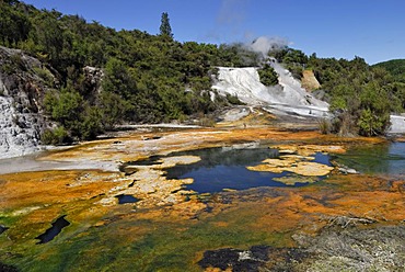
Rainbow and Cascade Terrace, Map of Africa, Orakei Korako Cave and Thermal Park, Hidden Valley, Taupo, Rotorua, North Island, New Zealand
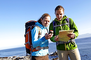
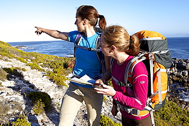
Katrin Schneider and Susann Scheller checking a handheld GPS device while hiking on an ocean trail between Gansbaai and De Kelders. South Africa.

Katrin Schneider and Susann Scheller checking a handheld GPS device while hiking on an ocean trail between Gansbaai and De Kelders. South Africa.
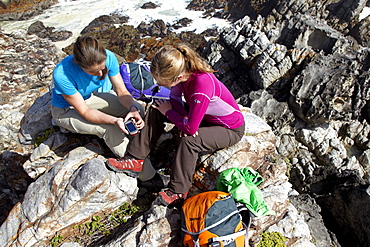
Katrin Schneider and Susann Scheller checking a GPS device while sitting on a rocky outcrop at the coast near De Kelders. South Africa.
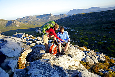
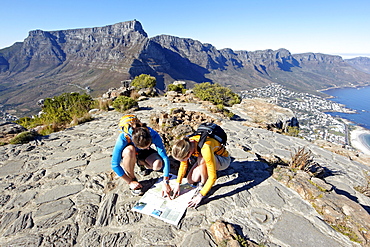
Katrin Schneider and Susann Scheller checking a GPS and a hiking map while hiking on the Hoerikwaggo Trail from Cape Point to Table Mountain in Cape Town. South Africa.
