Results
7 results found
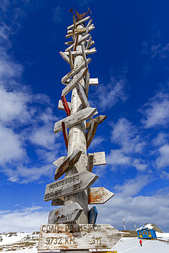
Views of the Chilean research base Presidente Eduardo Frei Montalva, Antarctica, Southern Ocean, Polar Regions
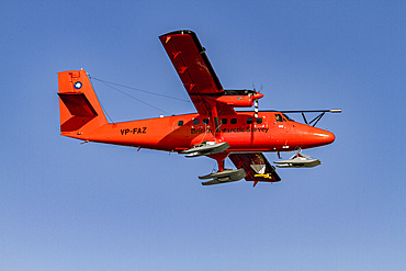
British Antarctic Survey (BAS) research plane operating in the Gullet, near Rothera Station near the Antarctic Peninsula, Polar Regions
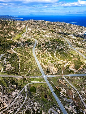
Drone aerial view of Kriaritsi project area with abandoned roads in the south of Greece, Sithonia, Chalkidiki, Greece
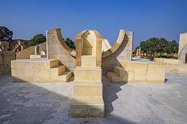
Astronomical instruments of Jantar Mantar, UNESCO, Jaipur, Rajasthan, India
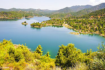
Kannaviou Reservoir, Cyprus, Eastern Mediterranean Sea, Europe
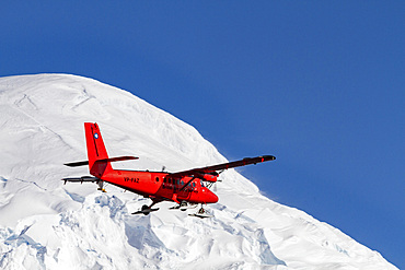
British Antarctic Survey (BAS) research plane operating in the Gullet, near Rothera Station near the Antarctic Peninsula, Polar Regions
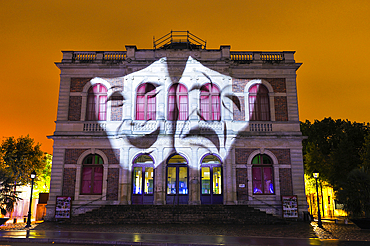
Illumination of the theatre (projection mapping), Festival of Lights, Chartres, Eure-et-Loir department, Centre -Val de Loire region, France, Europe
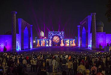
Video mapping or Light show in Registan, Samarkand, Uzbekistan

Registan, Samarkand, Uzbekistan
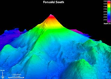
Fonualei South Volcano, Sonar Image
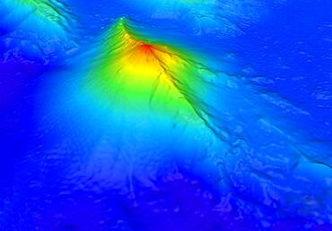
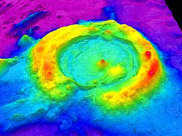
West Mata Volcano, Bathymetric Map
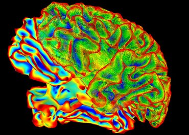
Human Brain, Surface Mapping
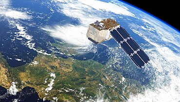
Sentinel-2 satellite in orbit, artwork

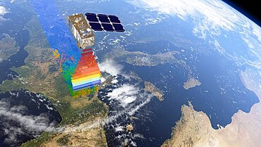
Earthquake ground displacement, Italy, August 2016

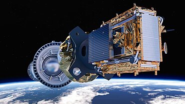
Sentinel-1 satellite in orbit, artwork
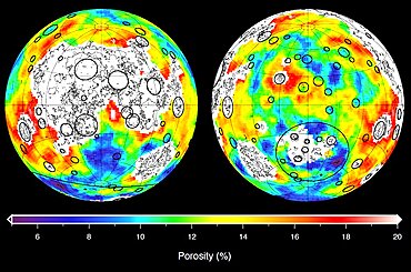
Lunar Highland Crust Porosity, GRAIL

Gaia Satellite
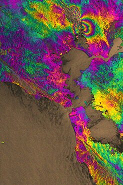
Napa Valley Earthquake, 2014, Interferogram
Sentinel-1B satellite deployment, artwork

Gaia Satellite
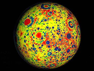
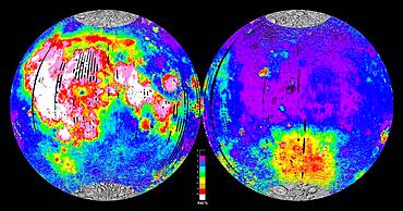
Gravity Map of the Moon, GRAIL
Sentinel-2 satellite
Volcano O, Lau Basin, Sonar Image
Moon, Iron Content Global Map
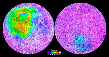
Moon, Thorium Content Global Map
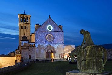
Via Cardinale Raffaele Merry del Val street, Christmas illuminations, Video Mapping of Giotto's Frescoes in the Facade of the Basilica of San Francesco church, Assisi, Umbria, Italy, Europe
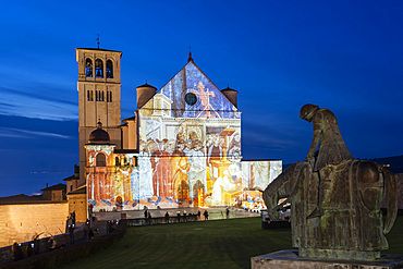
Via Cardinale Raffaele Merry del Val street, Christmas illuminations, Video Mapping of Giotto's Frescoes in the Facade of the Basilica of San Francesco church, Assisi, Umbria, Italy, Europe
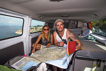
Travelers inside a camper van looking over a map for directions while exploring the cliffs surrounding Dubrovnik providing stunning views of the coastal city; Dubrovnik, Dubrovnik-Neretva County (Dubrovačko-neretvanska županija), Croatia
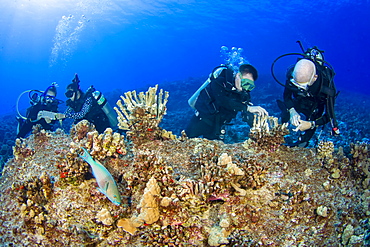
Research divers from the MOC Marine Institute glue broken coral heads back together and map out coral damage at Molokini Marine Preserve off the island of Maui, Hawaii. In the future, data from here will help to determine the health of Hawaii's reefs, Maui, Hawaii, United States of America
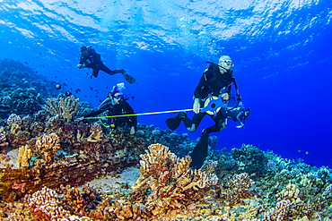
Research divers from the MOC Marine Institute map out coral damage at Molokini Marine Preserve off the island of Maui, Hawaii. In the future, data from here will help to determine the health of Hawaii's reefs, Maui, Hawaii, United States of America

Couple laying in van and looking at map