Results
62 results found
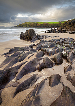
Rock formations on Doonshean Bay Beach, Dingle Peninsula, County Kerry, Munster, Republic of Ireland
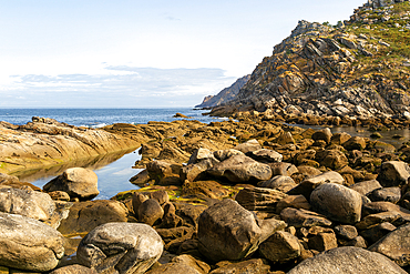
Rodas Fault geological feature, Cies Islands, Atlantic Islands Galicia Maritime Terrestrial National Park, Galicia, Spain, Europe

A large, elegant hotel perched on a cliff overlooking the ocean. The building features multiple stories with large windows and a balcony, surrounded by lush green grass and rocky terrain. The sky is filled with dramatic clouds, creating a picturesque suns
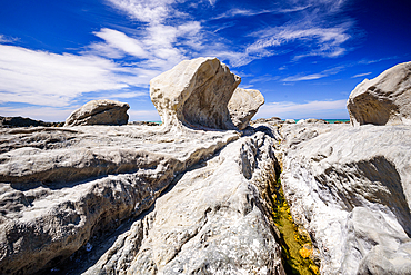
Cracked Rock Shelf Leading to Unusual Wind-Sculpted Limestone Formation at Ward Beach, Marlborough, New Zealand
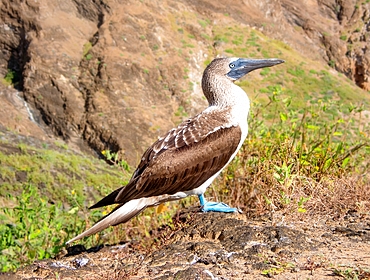
Blue Footed Booby (Sula nebouxii), a marine bird found in the Eastern Pacific whose unusual blue feet feature in courtship rituals, Galapagos, UNESCO World Heritage Site, Ecuador, South America
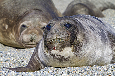
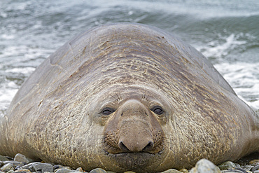
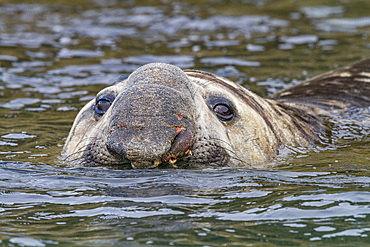
Southern elephant seal (Mirounga leonina) pup, called weaners once their mothers stop nursing, South Georgia Island, Southern Ocean
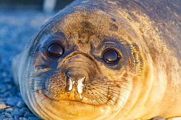
Southern elephant seal (Mirounga leonina) pup, called weaners once their mothers stop nursing, South Georgia Island, Southern Ocean
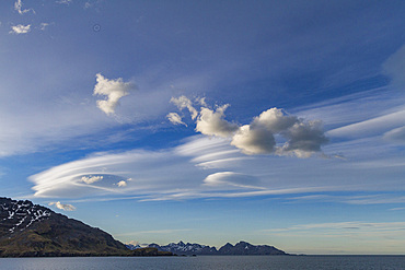
Interesting lenticular cloud formations forming over the island of South Georgia in the Southern Ocean
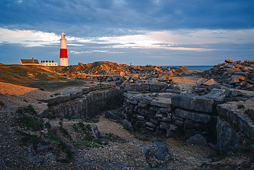
Portland Bill Lighthouse at sunset with remnants of limestone quarry in the foreground, Portland, Dorset, UK
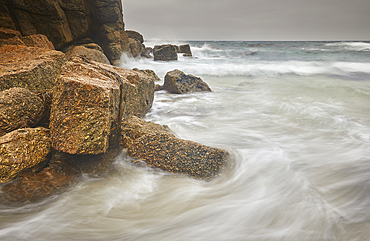
Atlantic surf rolls across granite shoreline rocks, at Porthgwarra Cove, near Land's End, in the far west of Cornwall, Great Britain.
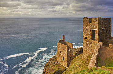
The cliffshide ruins of the engine house of Botallack tin mine, on the Atlantic coast near St Just, Cornwall, Great Britain.
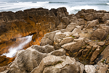
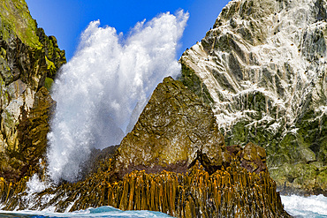
Dramatic Sea Burst from Blowhole in Layered Limestone Formations at Pancake Rocks, West Coast, New Zealand
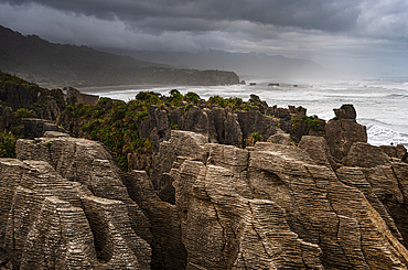
Layered Limestone Columns of Pancake Rocks With Misty Coastline in the Background, Paparoa National Park, New Zealand
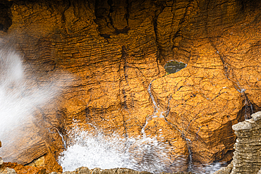
Powerful Sea Surge Through Blowhole in Honey-Colored Rock at Pancake Rocks, Punakaiki, West Coast, New Zealand
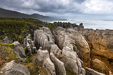
Eroded Coastal Rock Columns of Pancake Rocks Rising Above Native Vegetation, Paparoa National Park, New Zealand
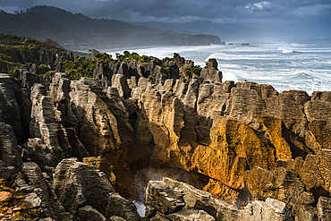
Classic Layered Limestone Formations of Pancake Rocks Framed by Dramatic Coastline, Punakaiki, West Coast, New Zealand
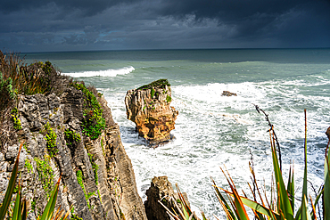
Sharp Limestone Cliffs with Isolated Sea Stack at Pancake Rocks, Punakaiki, Paparoa National Park, West Coast, New Zealand
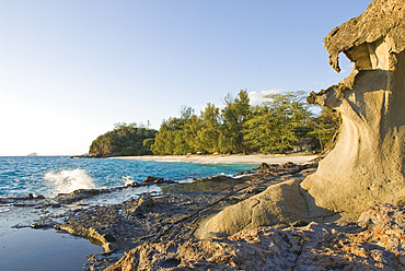
Rocky part of the coast at Tsarabanjina island, Mitsio archipelago, Republic of Madagascar, Indian Ocean
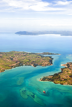
Aerial view over Ambato cape, Nosy Faly island and Nosy Be background , Republic of Madagascar, Indian Ocean
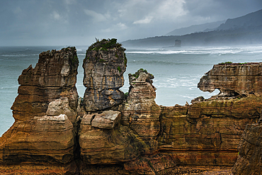
Twin Rock Formations at Pancake Rocks Against a Moody Sky in Punakaiki, Paparoa National Park, New Zealand
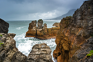
Towering Limestone Stacks of Pancake Rocks Surrounded by Crashing Waves at Punakaiki, West Coast, New Zealand
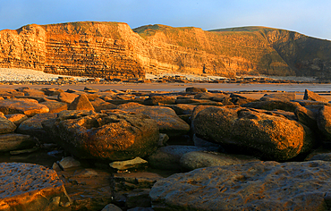
Golden evening light on the cliffs in winter at Dunraven Bay, Southerndown, Bridgend, South Wales, United Kingdom
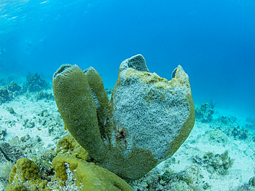
Underwater view of the reef along the circumference of the Great Blue Hole on Lighthouse Reef, UNESCO, Belize
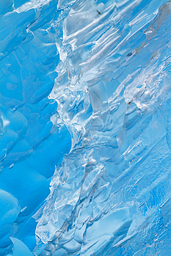
Glacial iceberg detail from ice calved off the Sawyer Glacier in Tracy Arm, Southeast Alaska, United States of America
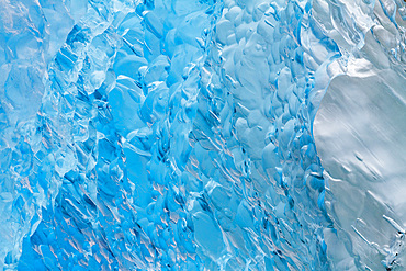
Glacial iceberg detail from ice calved off the Sawyer Glacier in Tracy Arm, Southeast Alaska, United States of America
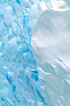
Glacial iceberg detail from ice calved off the Sawyer Glacier in Tracy Arm, Southeast Alaska, United States of America
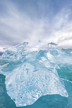
Glacial iceberg detail from ice calved off the LeConte Glacier near Petersberg, Southeast Alaska, United States of America
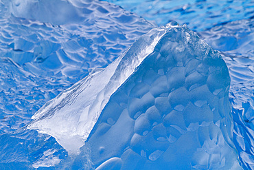
Glacial iceberg detail from ice calved off the Sawyer Glacier in Tracy Arm, Southeast Alaska, United States of America
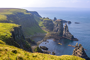
Basalt columns and sea cliffs, Rathlin Island, County Antrim, Ulster, Northern Ireland, United Kingdom
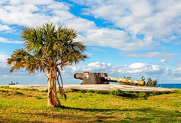
St. David's Battery, UNESCO, four guns installed 1910 by British to defend deep water channel leading to Royal Navy Dockyard and Hamilton, Bermuda
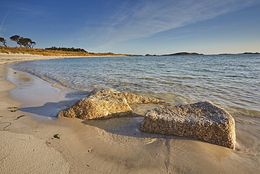
Granite boulders, a typical feature of the Isles of Scilly, seen along the shore in Pentle Bay, on the island of Tresco, Isles of Scilly, England, United Kingdom, Europe
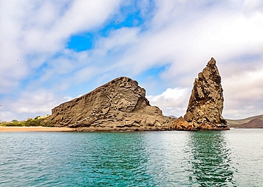
Pinnacle Rock, a volcanic plug on Bartolome Island, one of the most spectacular features of the Galapagos Islands, UNESCO World Heritage Site, Ecuador, South America
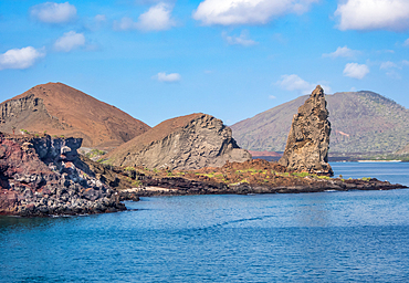
Pinnacle Rock, a volcanic plug on Bartolome Island, one of the most spectacular features of the Galapagos islands, UNESCO World Heritage Site, Ecuador, South America
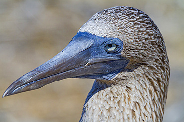
Adult blue-footed booby (Sula nebouxii) in the Galapagos Island Archipelago, UNESCO World Heritage Site, Ecuador, South America
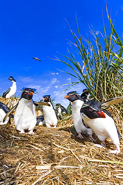
Adult rockhopper penguins (Eudyptes chrysocome chrysocome) at breeding and molting colony on New Island, Falkland Islands
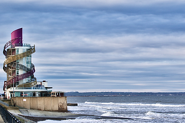
Coastal building with spiral slides, situated on a seawall overlooking a wavy ocean under a cloudy sky. The structure is multi-colored and features a glass-fronted lower section in Redcar, UK.
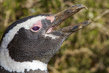
Magellanic penguin (Spheniscus magellanicus) at a breeding and molting site in Estancia San Lorenzo, Argentina
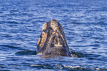
Southern right whale (Eubalaena australis) calf surfacing near Puerto Pyramides, Golfo Nuevo, Peninsula Valdez, Argentina
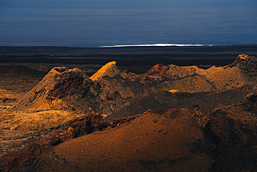
view of Volcanoes and the Volcanic landscape with the Atlantic Ocean in the Timanfaya national park in Lanzarote in the Canary Islands, Spain
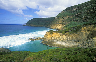
Remarkable Cave, an eroded coastal feature of arches and caves, south of Port Arthur, south east, Tasmania, Australia, Pacific
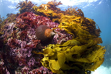
Jourdan's turban (turbo jourdani) large gastropod shell, reddish-brown, Rottnest Island reef, wild, day, marine protected area, free-diving off, cool temperate waters of Western Australia. MORE INFO: Marine plant common kelp, a dominant feature of the underwater landscape. Protected areas are covered in lush growth of diverse algae, also red algea are here.
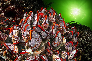
Giant goose-neck barnacle (Pollicipes polymerus) in the rare "red-lips" variant, found in the turbulent waters of the Nakwakto Rapids (Seymour Inlet, BC, Canada), known to feature the strongest currents in the world.
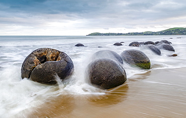
Moeraki Boulders, geological feature, round rock balls, washed by the waves of the surf at high tide, Coastal Otago, Moeraki, South Island, New Zealand, Oceania
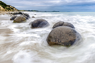
Moeraki Boulders, geological feature, round rock balls, washed by the waves of the surf at high tide, Coastal Otago, Moeraki, South Island, New Zealand, Oceania
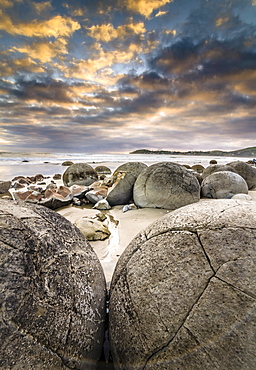
Moeraki Boulders, geological feature, round rock balls, some fragments lying broken in ruins on the beach, Coastal Otago, Moeraki, South Island, New Zealand, Oceania
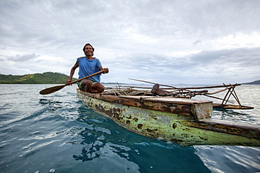
Nimoa Island - here the island mission will impress. The five-sided church features murals of island life and all mission buildings are surrounded by well maintained paths and gardens filled with flowering plants. Edged by jungle-covered mountains, postcard beaches and crystal clear waters - an island paradise indeed! The Louisiade Archipelago is a string of ten larger volcanic islands frequently fringed by coral reefs, and 90 smaller coral islands located 200 km southeast of New Guinea, stretching over more than 160 km and spread over an ocean area of 26,000 km? between the Solomon Sea to the north and the Coral Sea to the south. The aggregate land area of the islands is about 1,790 km? (690 square miles), with Vanatinai (formerly Sudest or Tagula as named by European claimants on Western maps) being the largest. Sideia Island and Basilaki Island lie closest to New Guinea, while Misima, Vanatinai, and Rossel islands lie further east. The archipelago is divided into the Local Level Government (LLG) areas Loui!
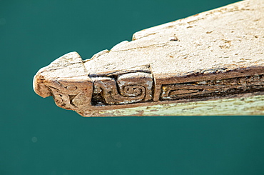
Nimoa Island - here the island mission will impress. The five-sided church features murals of island life and all mission buildings are surrounded by well maintained paths and gardens filled with flowering plants. Edged by jungle-covered mountains, postcard beaches and crystal clear waters - an island paradise indeed! The Louisiade Archipelago is a string of ten larger volcanic islands frequently fringed by coral reefs, and 90 smaller coral islands located 200 km southeast of New Guinea, stretching over more than 160 km and spread over an ocean area of 26,000 km? between the Solomon Sea to the north and the Coral Sea to the south. The aggregate land area of the islands is about 1,790 km? (690 square miles), with Vanatinai (formerly Sudest or Tagula as named by European claimants on Western maps) being the largest. Sideia Island and Basilaki Island lie closest to New Guinea, while Misima, Vanatinai, and Rossel islands lie further east. The archipelago is divided into the Local Level Government (LLG) areas Loui!

Nimoa Island - here the island mission will impress. The five-sided church features murals of island life and all mission buildings are surrounded by well maintained paths and gardens filled with flowering plants. Edged by jungle-covered mountains, postcard beaches and crystal clear waters - an island paradise indeed! The Louisiade Archipelago is a string of ten larger volcanic islands frequently fringed by coral reefs, and 90 smaller coral islands located 200 km southeast of New Guinea, stretching over more than 160 km and spread over an ocean area of 26,000 km? between the Solomon Sea to the north and the Coral Sea to the south. The aggregate land area of the islands is about 1,790 km? (690 square miles), with Vanatinai (formerly Sudest or Tagula as named by European claimants on Western maps) being the largest. Sideia Island and Basilaki Island lie closest to New Guinea, while Misima, Vanatinai, and Rossel islands lie further east. The archipelago is divided into the Local Level Government (LLG) areas Louisiade Rural (western part, with Misima), and Yaleyamba (western part, with Rossell and Tagula islands. The LLG areas are part of Samarai-Murua District district of Milne Bay. The seat of the Louisiade Rural LLG is Bwagaoia on Misima Island, the population center of the archipelago.
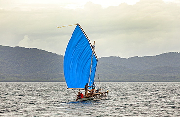
Nimoa Island - here the island mission will impress. The five-sided church features murals of island life and all mission buildings are surrounded by well maintained paths and gardens filled with flowering plants. Edged by jungle-covered mountains, postcard beaches and crystal clear waters - an island paradise indeed! The Louisiade Archipelago is a string of ten larger volcanic islands frequently fringed by coral reefs, and 90 smaller coral islands located 200 km southeast of New Guinea, stretching over more than 160 km and spread over an ocean area of 26,000 km? between the Solomon Sea to the north and the Coral Sea to the south. The aggregate land area of the islands is about 1,790 km? (690 square miles), with Vanatinai (formerly Sudest or Tagula as named by European claimants on Western maps) being the largest. Sideia Island and Basilaki Island lie closest to New Guinea, while Misima, Vanatinai, and Rossel islands lie further east.

Nimoa Island - here the island mission will impress. The five-sided church features murals of island life and all mission buildings are surrounded by well maintained paths and gardens filled with flowering plants. Edged by jungle-covered mountains, postcard beaches and crystal clear waters - an island paradise indeed! The Louisiade Archipelago is a string of ten larger volcanic islands frequently fringed by coral reefs, and 90 smaller coral islands located 200 km southeast of New Guinea, stretching over more than 160 km and spread over an ocean area of 26,000 km? between the Solomon Sea to the north and the Coral Sea to the south. The aggregate land area of the islands is about 1,790 km? (690 square miles), with Vanatinai (formerly Sudest or Tagula as named by European claimants on Western maps) being the largest. Sideia Island and Basilaki Island lie closest to New Guinea, while Misima, Vanatinai, and Rossel islands lie further east. The archipelago is divided into the Local Level Government (LLG) areas Louisiade Rural (western part, with Misima), and Yaleyamba (western part, with Rossell and Tagula islands. The LLG areas are part of Samarai-Murua District district of Milne Bay. The seat of the Louisiade Rural LLG is Bwagaoia on Misima Island, the population center of the archipelago.
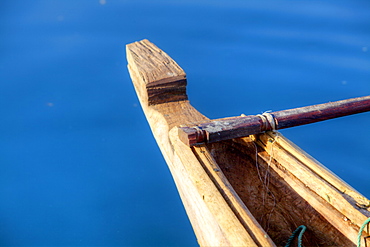
Nimoa Island - here the island mission will impress. The five-sided church features murals of island life and all mission buildings are surrounded by well maintained paths and gardens filled with flowering plants. Edged by jungle-covered mountains, postcard beaches and crystal clear waters - an island paradise indeed! The Louisiade Archipelago is a string of ten larger volcanic islands frequently fringed by coral reefs, and 90 smaller coral islands located 200 km southeast of New Guinea, stretching over more than 160 km and spread over an ocean area of 26,000 km? between the Solomon Sea to the north and the Coral Sea to the south. The aggregate land area of the islands is about 1,790 km? (690 square miles), with Vanatinai (formerly Sudest or Tagula as named by European claimants on Western maps) being the largest. Sideia Island and Basilaki Island lie closest to New Guinea, while Misima, Vanatinai, and Rossel islands lie further east. The archipelago is divided into the Local Level Government (LLG) areas Louisiade Rural (western part, with Misima), and Yaleyamba (western part, with Rossell and Tagula islands. The LLG areas are part of Samarai-Murua District district of Milne Bay. The seat of the Louisiade Rural LLG is Bwagaoia on Misima Island, the population center of the archipelago.
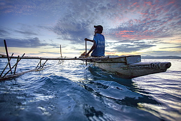
Nimoa Island - here the island mission will impress. The five-sided church features murals of island life and all mission buildings are surrounded by well maintained paths and gardens filled with flowering plants. Edged by jungle-covered mountains, postcard beaches and crystal clear waters - an island paradise indeed! The Louisiade Archipelago is a string of ten larger volcanic islands frequently fringed by coral reefs, and 90 smaller coral islands located 200 km southeast of New Guinea, stretching over more than 160 km and spread over an ocean area of 26,000 km? between the Solomon Sea to the north and the Coral Sea to the south. The aggregate land area of the islands is about 1,790 km? (690 square miles), with Vanatinai (formerly Sudest or Tagula as named by European claimants on Western maps) being the largest. Sideia Island and Basilaki Island lie closest to New Guinea, while Misima, Vanatinai, and Rossel islands lie further east. The archipelago is divided into the Local Level Government (LLG) areas Loui!
