Results
34 results found
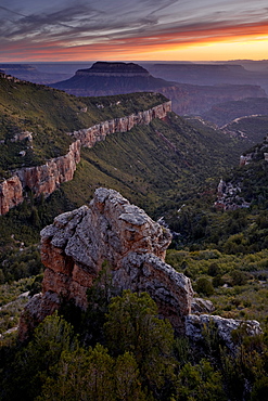
Steamboat Mountain at sunset from Locust Point, North Rim, Grand Canyon National Park, UNESCO World Heritage Site, Arizona, United States of America, North America
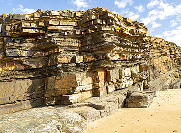
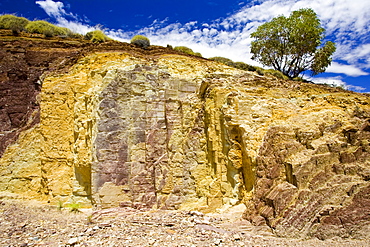
Tilted layers showing bedding planes in strata of sedimentary rock in coastal cliff at Odeceixe, Algarve, Portugal, Europe
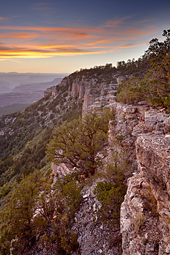
Sunset at Locust Point, North Rim, Grand Canyon National Park, UNESCO World Heritage Site, Arizona, United States of America, North America
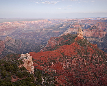
Mount Hayden at dusk from Point Imperial, North Rim, Grand Canyon National Park, UNESCO World Heritage Site, Arizona, United States of America, North America
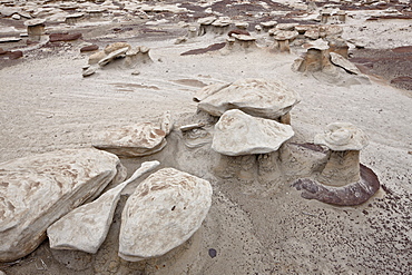
Small mushroom formations in the badlands, Bisti Wilderness, New Mexico, United States of America, North America
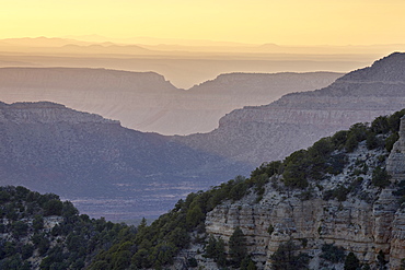
Sunset at Locust Point, North Rim, Grand Canyon National Park, UNESCO World Heritage Site, Arizona, United States of America, North America
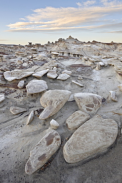
Rocks in the badlands at sunrise, Bisti Wilderness, New Mexico, United States of America, North America
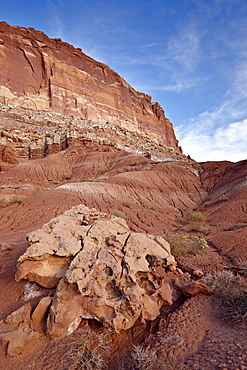
Red rock cliffs and badlands, Capitol Reef National Park, Utah, United States of America, North America
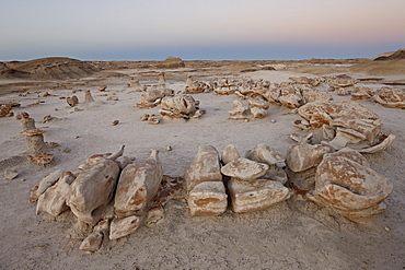
Rocks at the Egg Factory at dusk, Bisti Wilderness, New Mexico, United States of America, North America
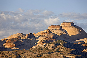
Sandstone domes and clouds, Capitol Reef National Park, Utah, United States of America, North America
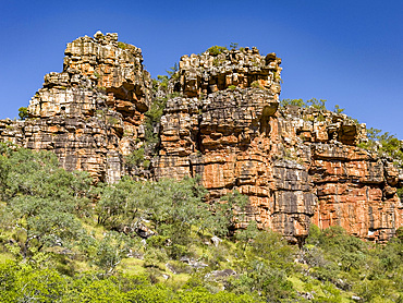
Towering red rock formations in the Warton Sandstone, King George River, Kimberley, Western Australia, Australia, Pacific
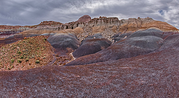
Hoodoo filled cliffs on the north side of Blue Mesa in Petrified Forest National Park, Arizona, United States of America, North America
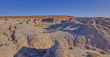
Goblin Garden west of Hamilili Point in Petrified Forest National Park, Arizona, United States of America, North America
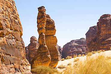
Extraordinary sandstone rock structure called Dancing Rocks in the Sharaan Nature Reserve, AlUla, Medina Province, Saudi Arabia
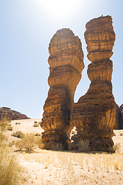
Extraordinary sandstone rock structure called Dancing Rocks in the Sharaan Nature Reserve, AlUla, Medina Province, Saudi Arabia
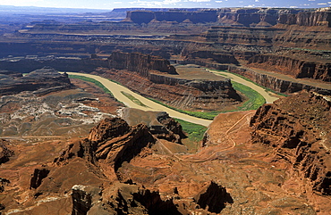
Looking from Dead Horse Point Overlook towards the Goose Neck bend, where the Colorado River Colorado River has carved a dramatic course through the sandstone plateau at Canyonlands National Park, Dead Horse point State Park, Utah, Usa
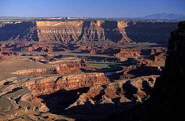
Looking from Dead Horse Point Overlook towards Meander Canyon, where the Colorado River Colorado River has carved a dramatic course through the sandstone plateau at Canyonlands National Park, Dead Horse point State Park, Utah, Usa
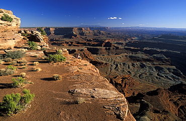
Looking from Dead Horse Point Overlook towards Meander Canyon, where the Colorado River Colorado River has carved a dramatic course through the sandstone plateau at Canyonlands National Park, Dead Horse point State Park, Utah, Usa
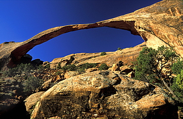
306ft 'Landscape Arch', Arches National Park, Utah, Usa306ft 'Landscape Arch', the longest such landform in this spectacular park of eroded formations, including over 2000 arches
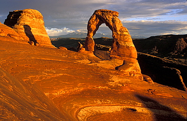
'Delicate Arch', Arches National Park, Utah, Usa'Delicate Arch', one of the best known landforms in this spectacular park of eroded formations, including over 2000 arches
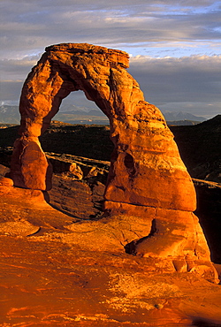
'Delicate Arch', Arches National Park, Utah, Usa'Delicate Arch', one of the best known landforms in this spectacular park of eroded formations, including over 2000 arches
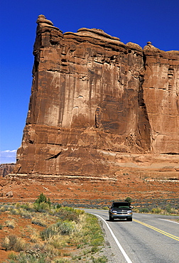
'The Tower of Babel', Arches National Park, Utah, Usa'The Tower of Babel' by Park Drive in this spectacular park of eroded formations, including over 2000 arches
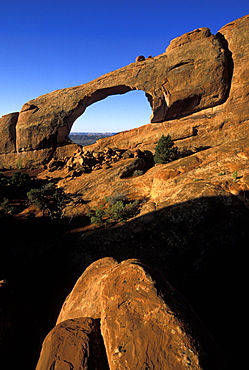
Skyline Arch, Arches National Park, Utah, Usa
'Skyline Arch', one of the sandstone landforms in this spectacular park of eroded formations, including over 2000 arches
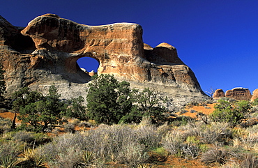
'Tunnel Arch', Arches National Park, Utah, Usa'Tunnel Arch', one of the landforms in this spectacular park of eroded formations, including over 2000 arches
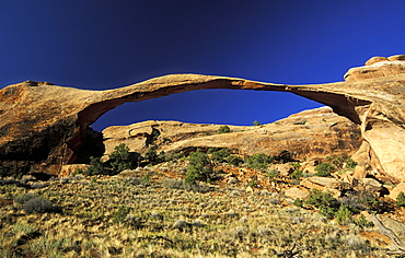
306ft 'Landscape Arch', Arches National Park, Utah, Usa306ft 'Landscape Arch', the longest such landform in this spectacular park of eroded formations, including over 2000 arches
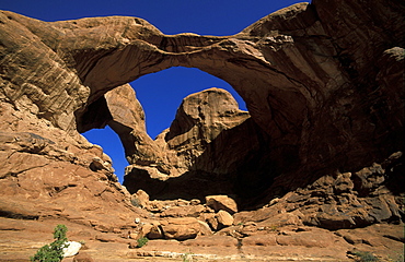
'Double Arch', Arches National Park, Utah, Usa'Double Arch', one of the landforms in this spectacular park of eroded formations, including over 2000 arches

View of geometric patterns on rocky hills referred to as Brain Rocks, against a cloudy sky forming part of the alien landscape of amazing lines, contours and shapes in the wondrous area known as White Pocket, situated in Arizona, Arizona, United States of America
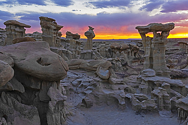
Hoodoos of Valley of Dreams take on fantastical shapes after eons of erosion from wind and rain. This hoodoo is named Alien Throne, with a beautiful sunset sky, Albuquerque, New Mexico, United States of America
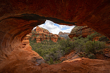
Sedona is located in the interior chaparral, semi-desert grassland, Great Basin conifer woodland biomes of northern Arizona. This is an example of the red rock that is very predominate in the area. Many hiking trails are in the area to take in these amazing sights, Sedona, Arizona, United States of America
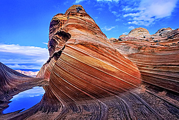
Spectacular formation of vibrant colors in swirls of fragile sandstone is known as The Wave and is located in the Coyote Buttes section of Vermilion Cliffs National Monument. An unmarked wilderness trail limits hikers and requires a permit from the Bureau of Land Management, Arizona, United States of America
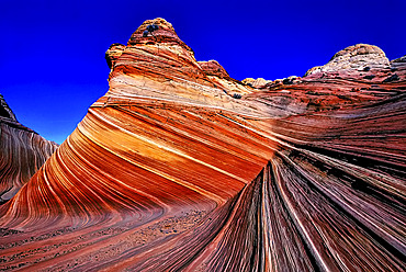
Spectacular formation of vibrant colors in swirls of fragile sandstone is known as The Wave and is located in the Coyote Buttes section of Vermilion Cliffs National Monument. An unmarked wilderness trail limits hikers and requires a permit from the Bureau of Land Management, Arizona, United States of America

Surreal landscape of White Pocket with stormy clouds gathering overtop. They are comprised of swirling, multicolured Navajo Limestone with domes, hoodoos and potholes, Arizona, United States of America
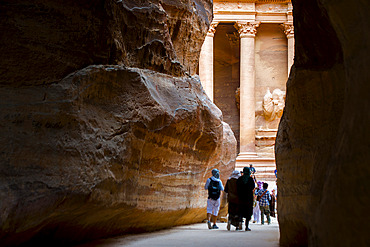
The Treasury;Al-Khazneh). View that the traveler encounters when emerging from the Siq, the 1.5 km gorge that must be traveled to reach the Treasury. Jordan.
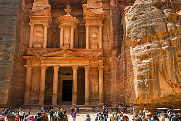
The Treasury;Al-Khazneh), Petra. Monumental building excavated and sculpted in stone in the ancient Jordanian city of Petra. Jordan.
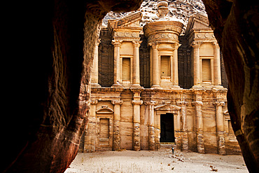
The Monastery;Deir), Petra. Monumental building excavated and sculpted in stone in the ancient Jordanian city of Petra. Jordan.

The Monastery;Deir), Petra. Monumental building excavated and sculpted in stone in the ancient Jordanian city of Petra. Jordan.
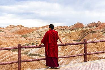
Monk and Eroded hills of sedimentary conglomerate and sandstone, Unesco World Heritage, Zhangye, China

Tourist in Eroded hills of sedimentary conglomerate and sandstone, Unesco World Heritage, Zhangye, China

Tourist photograph, Eroded hills of sedimentary conglomerate and sandstone, Unesco World Heritage, Zhangye, China

Remarkable flysch formations of Deba, Basque Coast Geopark, Basque Country, Spain. Flysch formed at the end of the Mesozoic era in the Cretaceous - flyschs are formed by sediment accumulation following repeated submarine avalanches, due to earthquakes, and producing after compaction and crystallization very regular layers of sandstone and limestone here recovered by Pyrenean orogeny and released by erosion.

Remarkable flysch formations of Deba, Basque Coast Geopark, Basque Country, Spain. Flysch formed at the end of the Mesozoic era in the Cretaceous - flyschs are formed by sediment accumulation following repeated submarine avalanches, due to earthquakes, and producing after compaction and crystallization very regular layers of sandstone and limestone here recovered by Pyrenean orogeny and released by erosion.
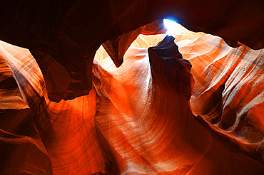
Antelope Canyon. The Upper Antelope Canyon, 2 to 3 m wide and 400 m long, managed by the Navajo Indian tribe, Arizona, USA.
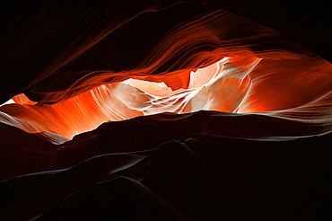
The Upper Antelope Canyon, 2 to 3 m wide and 400 m long, managed by the Navajo Indian tribe. Antelope Canyon. Arizona. USA.
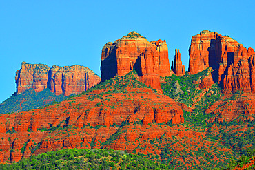
USA. Arizona. The city of Sedona is known for its natural red sandstone formations such as Cathedral Rock here.
