Results
29 results found
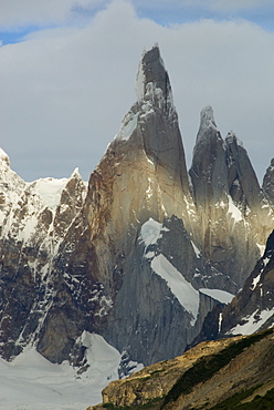
Cerro Torre, granite spire 1400 metres tall, Los Glaciares National Park, UNESCO World Heritage Site, Patagonia, Argentina, South America
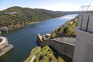
Barragem do Alqueva dam, part of the multipurpose water management project on the Rio Guadiana river, hydro-electricity generation electricity power lines, Moura, Portugal, Europe
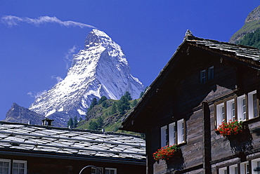
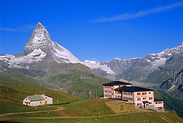
The peak of the Matterhorn mountain towering above chalet rooftops, Zermatt, Valais, Swiss Alps, Switzerland, Europe
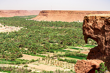
Palm tree groves and ancient village at foot of tall gorges, Ziz Valley, Atlas mountains, Morocco, North Africa, Africa
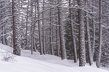
Winter snow in Italian Alps, with Mountain of Ponte di Legno in Brescia province, Lombardy, Italy, Europe
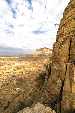
Access trail to Abuna Yemata Guh church through tall rocks of Gheralta Mountains, Tigray Region, Ethiopia, Africa

Man looking at the magnificent sandstone rock structure in the Sharaan Nature Reserve, AlUla, Medina Province, Saudi Arabia
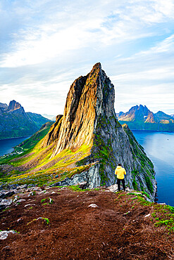
Person standing in front of tall Segla Mountain and fjords at dawn, Senja island, Troms county, Norway, Scandinavia, Europe

Tall mountains with snowy peaks reflecting in the calm water of the fjord at high tide with scenic clouds, Leknes, Lofoten Islands, Norway, Scandinavia, Europe
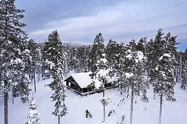
Drone view of a cyclist with fat bike standing in the middle of the tall-tree coniferous forest covered with snow in front of a mountain hut, Finnish Lapland, Finland, Scandinavia, Europe
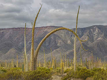
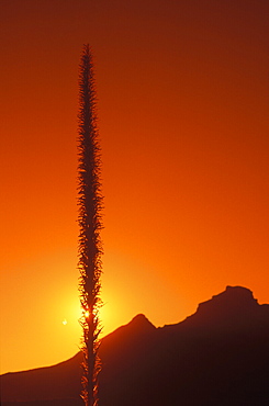
Boojum tree (Fouquieria columnaris), just outside Bahia de los Angeles, Baja California, Sea of Cortez, Mexico, North America
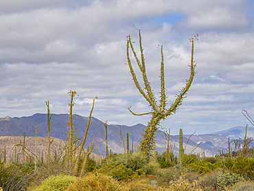
Boojum tree (Fouquieria columnaris), just outside Bahia de los Angeles, Baja California, Sea of Cortez, Mexico, North America
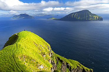
Hiker walks on top of a tall cliff overlooking the ocean, Nordradalur, Streymoy island, Faroe islands, Denmark, Europe
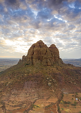
Clouds at sunset over the tall rocks of Gheralta Mountains, aerial view by drone, Hawzen, Tigray Region, Ethiopia, Africa
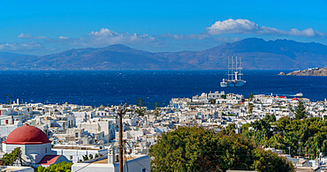
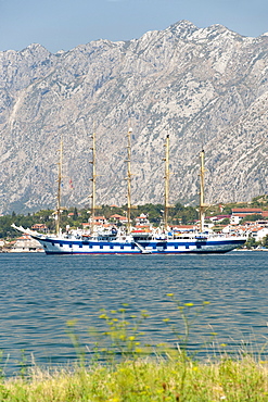
View of town and tall ship, Mykonos Town, Mykonos, Cyclades Islands, Greek Islands, Aegean Sea, Greece, Europe
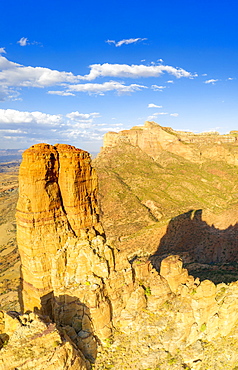
Aerial panoramic by drone of tall rock towers of Gheralta Mountains, Hawzen, Tigray Region, Ethiopia, Africa
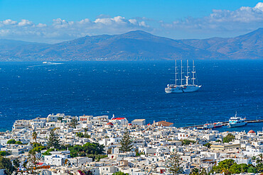
View of town and tall ship, Mykonos Town, Mykonos, Cyclades Islands, Greek Islands, Aegean Sea, Greece, Europe
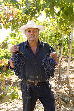
Wine maker holding grapes, Dafnes, in the mountains above Heraklion, Crete, Greek Islands, Greece, Europe

Wine maker cutting grapes, Dafnes, in the mountains above Heraklion, Crete, Greek Islands, Greece, Europe
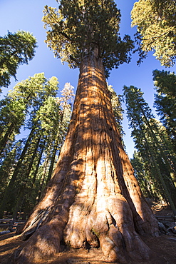
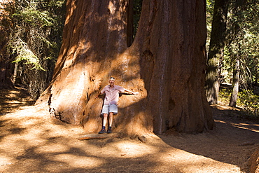
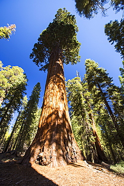
The General Sherman tree a Giant Redwood, or Sequoia, Sequoiadendron giganteum, in Sequoia National Park, California, USA.It is one of the largest tree on the planet.

The Tunnel Log a fallen Giant Redwood, or Sequoia, Sequoiadendron giganteum, in Sequoia National Park, California, USA.
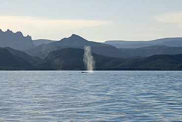
Fin whale (balaenoptera physalus) Gulf of California.The blow of a fin whale is almost as tall as a blue whale blow and hard to distinguish at a distance, here the fin gives it away.

The Neumayer Glacier on South Georgia Island. The face is an estimated 135 feet tall. This glacier is receeding and is very actively calving, especially in the summer months.
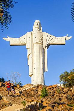
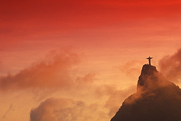
Torists, Largest statue of Jesus Christ in the world, the Cristo de la Concordia in Cochabamba, Bolivia
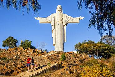
Torists, Largest statue of Jesus Christ in the world, the Cristo de la Concordia in Cochabamba, Bolivia

A black colored red fox baby (Vulpus vulpus) licks it's lips for some tall weeds. Yukon Territory, Canada
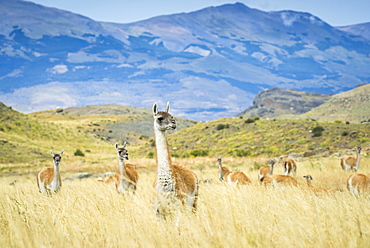
Guanacos (Llama guanicoe), herd in high grass, mountainous, Torres del Paine National Park, Region de Magallanes y de la Antartica Chilena, Patagonia, Chile, South America

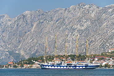
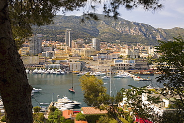
Windjammer Tenacious, motoryachts Skat, Atlantis II and Lady Moura at Port Hercule, Monaco, Cote d'Azur, Mediterranean, Europe
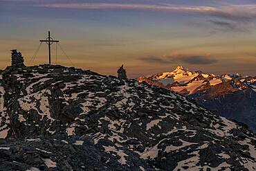
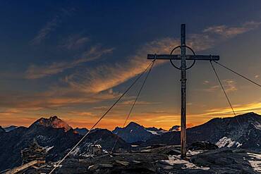
Sunrise over summit of the Oetztaler Wildspitze with summit cross of the high Nebelkogel, Soelden, Oetztal, Tyrol, Austria, Europe
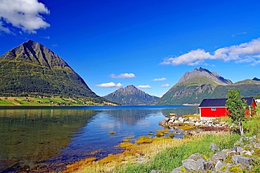
Red wooden house and high, rugged mountains by a fjord, shallow bay, Aldersund, FV 17, Kystriksveien, Nordland, Norway, Europe
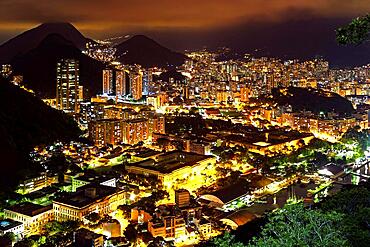
Night view of the top of the Botafogo neighborhood in Rio de Janeiro with city lights, hills and slums lit up on a summer night, Botafogo, Rio de Janeiro, Rio de Janeiro, Brasil

Getscher Pasterze, ice, mountains, Grossglockner, Franz-Josef-Hoehe, Hohe Tauern National Park, Austria, Europe
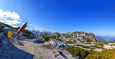
Dachstein Hai on the Heilbronn circular hiking trail with views of the Hohe Dachstein, Dachstein massif, Krippenstein, Obertraun, Salzkammergut, Upper Austria, Austria, Europe

Mountain peaks in the evening mood, Hohe Dock, Vorderer Bratschenkopf, Grosses Wiesbachhorn, Grossglockner High Alpine Road, Hohe Tauern National Park, Salzburg, Austria, Europe

Getscher Pasterze, ice, mountains, Grossglockner, Franz-Josef-Hoehe, Hohe Tauern National Park, Austria, Europe
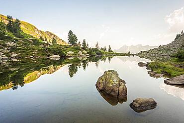
Mirror lake at first light with the Hoher Dachstein in the background, Reiteralm, Styria, Austria, Europe

Wind vane on the Loser with view to the Hoher Dachstein, Altaussee, Salzkammergut, Steiermarkt, Austria, Europe

View from the World Heritage Site to the Hoher Dachstein, Dachstein Massif, Krippenstein cable car, Obertraun, Salzkammergut, Upper Austria, Austria, Europe
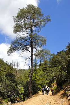
Group of hikers hiking below a tall Aleppo Pine (Pinus halepensis), Tripylos, Troodos Mountains, Southern Cyprus, Republic of Cyprus, Mediterranean Sea, Europe
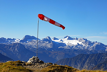
Wind vane on the Loser with view to the Hoher Dachstein, Altaussee, Salzkammergut, Steiermarkt, Austria, Europe
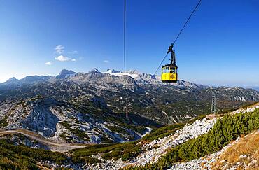
Panoramic view to the mountain station Gjaid and to the Hohen Dachstein, Dachstein massif, Krippenstein cable car, Obertraun, Salzkammergut, Upper Austria, Austria, Europe
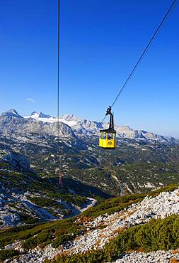
Panoramic view to the mountain station Gjaid and to the Hohen Dachstein, Dachstein massif, Krippenstein cable car, Obertraun, Salzkammergut, Upper Austria, Austria, Europe

Restaurant Lodge with view to the Hoher Dachstein, Dachstein massif, Krippenstein, Obertraun, Salzkammergut, Upper Austria, Austria, Europe
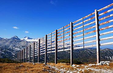
Avalanche barrier with view to the Hoher Dachstein, Dachstein massif, Krippenstein, Obertraun, Salzkammergut, Upper Austria, Austria, Europe
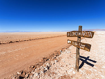
Salar de Arizaro, one of the largest salt flats in the world. The Altiplano near village Tolar Grande in Argentina close to the border to Chile. South America, Argentina
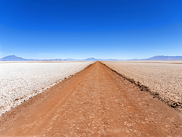
Salar de Arizaro, one of the largest salt flats in the world. The Altiplano near village Tolar Grande in Argentina close to the border to Chile. South America, Argentina
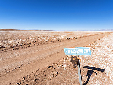
Salar de Arizaro, one of the largest salt flats in the world. The Altiplano near village Tolar Grande in Argentina close to the border to Chile. South America, Argentina

Salar de Arizaro, one of the largest salt flats in the world. The Altiplano near village Tolar Grande in Argentina close to the border to Chile. South America, Argentina

Salar de Arizaro, one of the largest salt flats in the world. The Altiplano near village Tolar Grande in Argentina close to the border to Chile. South America, Argentina
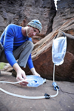
Male hiker filters water on a cliff-pinched patio near Deer Creek Falls in the Grand Canyon outside of Fredonia, Arizona November 2011. The 21.4-mile loop starts at the Bill Hall trailhead on the North Rim and descends 2000-feet in 2.5-miles through Coconino Sandstone to the level Esplanada then descends further into the lower canyon through a break in the 400-foot-tall Redwall to access Surprise Valley. Hikers connect Thunder River and Tapeats Creek to a route along the Colorado River and climb out Deer Creek.
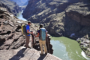
Hikers overlook the Colorado River as they exit the Deer Creek Narrows in the Grand Canyon outside of Fredonia, Arizona November 2011. The 21.4-mile loop starts at the Bill Hall trailhead on the North Rim and descends 2000-feet in 2.5-miles through Coconino Sandstone to the level Esplanada then descends further into the lower canyon through a break in the 400-foot-tall Redwall to access Surprise Valley. Hikers connect Thunder River and Tapeats Creek to a route along the Colorado River and climb out Deer Creek.
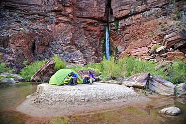
Hikers setup camp on a beach along the Colorado River near the plumeting 180-foot Deer Creek Falls in the Grand Canyon outside of Fredonia, Arizona November 2011. The 21.4-mile loop starts at the Bill Hall trailhead on the North Rim and descends 2000-feet in 2.5-miles through Coconino Sandstone to the level Esplanada then descends further into the lower canyon through a break in the 400-foot-tall Redwall to access Surprise Valley. Hikers connect Thunder River and Tapeats Creek to a route along the Colorado River and climb out Deer Creek.

Hikers follow a route along the Colorado River that connect Tapeats Creek and Thunder River to Deer Creek in the Grand Canyon outside of Fredonia, Arizona November 2011. The 21.4-mile loop starts at the Bill Hall trailhead on the North Rim and descends 2000-feet in 2.5-miles through Coconino Sandstone to the level Esplanada then descends further into the lower canyon through a break in the 400-foot-tall Redwall to access Surprise Valley. Hikers connect Thunder River and Tapeats Creek to a route along the Colorado River and climb out Deer Creek.
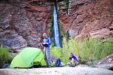
Hikers setup camp on a beach along the Colorado River near the plumeting 180-foot Deer Creek Falls in the Grand Canyon outside of Fredonia, Arizona November 2011. The 21.4-mile loop starts at the Bill Hall trailhead on the North Rim and descends 2000-feet in 2.5-miles through Coconino Sandstone to the level Esplanada then descends further into the lower canyon through a break in the 400-foot-tall Redwall to access Surprise Valley. Hikers connect Thunder River and Tapeats Creek to a route along the Colorado River and climb out Deer Creek.

An elevated view of Stokksnes beach, with its movie set Viking village in the middle, green and orange autumn colors, the ocean and the mountains Vesturhorn and Vestrahorn, Stokksnes, East Iceland, Iceland
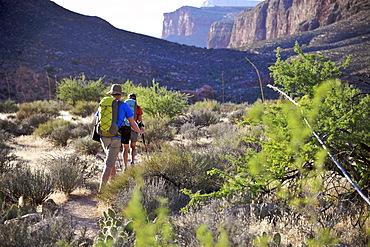
Hikers climb out of Surprise Valley to the North Rim of the Grand Canyon outside of Fredonia, Arizona November 2011. The 21.4-mile loop starts at the Bill Hall trailhead on the North Rim and descends 2000-feet in 2.5-miles through Coconino Sandstone to the level Esplanada then descends further into the lower canyon through a break in the 400-foot-tall Redwall to access Surprise Valley. Hikers connect Thunder River and Tapeats Creek to a route along the Colorado River and climb out Deer Creek.
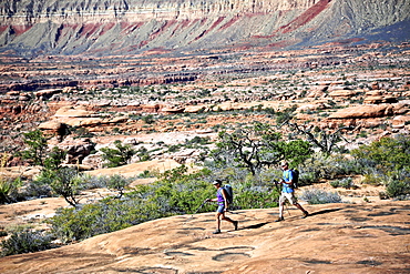
Hikers on the sandstone Esplanade of the Thunder River Trail below the North Rim of the Grand Canyon outside Fredonia, Arizona November 2011. The 21.4-mile loop descends 2000-feet in 2.5-miles through Coconino Sandstone from the Bill Hall trailhead to connect the Thunder River and Deer Creeks trails. Hikers descend into the lower canyon through a break in the 400-foot-tall Redwall to access Surprise Valley, Deer Creek, Tapeats Creek via Thunder River and even the Colorado River.
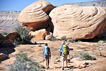
Hikers on the sandstone Esplanade of the Thunder River Trail below the North Rim of the Grand Canyon outside Fredonia, Arizona November 2011. The 21.4-mile loop descends 2000-feet in 2.5-miles through Coconino Sandstone from the Bill Hall trailhead to connect the Thunder River and Deer Creeks trails. Hikers descend into the lower canyon through a break in the 400-foot-tall Redwall to access Surprise Valley, Deer Creek, Tapeats Creek via Thunder River and even the Colorado River.
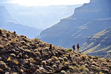
Hikers follow a route along the Colorado River that connect Tapeats Creek and Thunder River to Deer Creek in the Grand Canyon outside of Fredonia, Arizona November 2011. The 21.4-mile loop starts at the Bill Hall trailhead on the North Rim and descends 2000-feet in 2.5-miles through Coconino Sandstone to the level Esplanada then descends further into the lower canyon through a break in the 400-foot-tall Redwall to access Surprise Valley. Hikers connect Thunder River and Tapeats Creek to a route along the Colorado River and climb out Deer Creek.
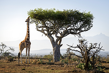
Reticulated giraffe (Giraffa reticulata) stands on the savannah browsing an acacia tree near Mount Kenya, Laikipia, Kenya
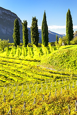
Rows of grapevines on rolling hills with tall trees and mountains in the background, Calder, Bolzano, Italy
