Results
73 results found
Tour guide trekking in the Imlil valley, on route from Tizi n Tamatert into Imlil, High Atlas Mountains, Morocco, North Africa, Africa
Cathedral of Santiago de Compostela (Cathedral of Saint James of Compostela), UNESCO, Santiago de Compostela, Galicia, Spain
Trekking across a temporary bridge between Shomuthang and Robluthang on the Laya-Gasa trekking route, Gasa District, Bhutan, Asia
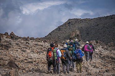
A group of trekkers with their local guide descending in Barranco Camp on the Machame Route on Mount Kilimanjaro, Tanzania, East Africa, Africa
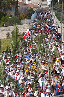
The Palm Sunday procession on its route from Betphage to Sainte Anne in the Old City through the Mount of Olives, Jerusalem, Israel, Middle East
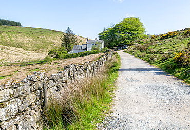
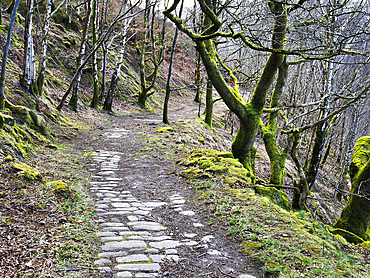
Walking route track West Dart valley walk, Crockern farmhouse, near Two Bridges, Dartmoor, Devon, England, United Kingdom, Europe
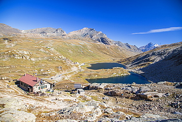
Refuge Citta di Chivasso. Lakes of Nivolet, Valsavarenche, Gran Paradiso National Park, Alpi Graie (Graian Alps), Italy, Europe
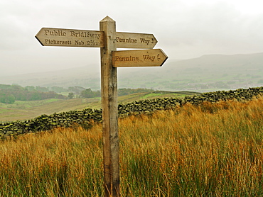
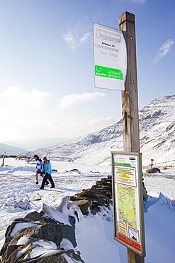
Sign post for the Pennine Way, a 270 mile long walking route, Yorkshire Dales National Park, Yorkshire, England, United Kingdom, Europe
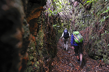
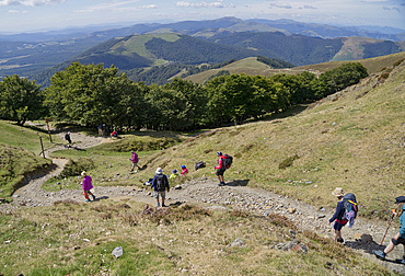
Hikers on ancient path used by villagers to cross the island North to South, on the heights of Santana, Madeira island, Atlantic Ocean, Portugal
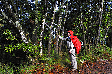
Hiker on ancient path used by villagers to cross the island North to South, on the heights of Santana, Madeira island, Atlantic Ocean, Portugal
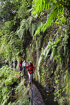
Hikers on path along levada (aqueduct) of Green Cauldron (Caldeirao Verde), Madeira island, Atlantic Ocean, Portugal
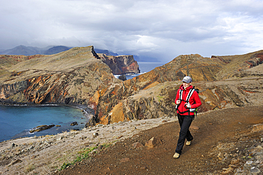
Young woman walking along Abra Bay, Sao Lourenco peninsula, Madeira island, Atlantic Ocean, Portugal
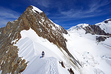
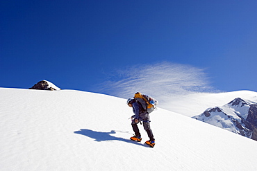
Climber on snow ridge, Aiguille de Bionnassay on the route to Mont Blanc, French Alps, France, Europe
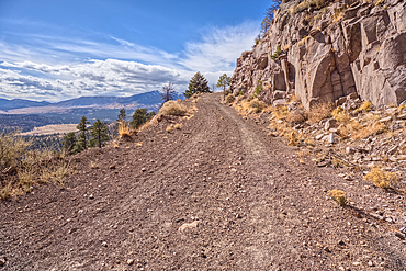
The Forest Service Road that leads to the summit of O'Leary Peak in the Coconino National Forest of Arizona.
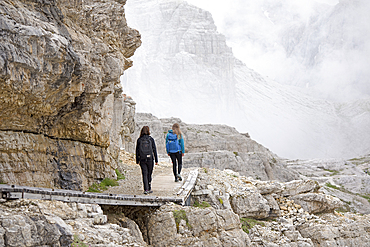
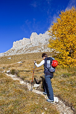
Hikers on path between Locatelli and Pian di Cengia refuges with Punta dei Tre Scarperi behind, Three Peaks Nature Park, Dolomites, South Tyrol, Italy
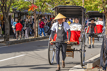
View of rickshaws near Togetsukyo Bridge over Katsura River, Sagatenryuji Susukinobabacho, Ukyo Ward, Kyoto, Honshu, Japan

View of runners near Ote-bori Moat, The East Gardens of the Imperial Palace, on a sunny day, Chiyoda, Tokyo, Honshu, Japan
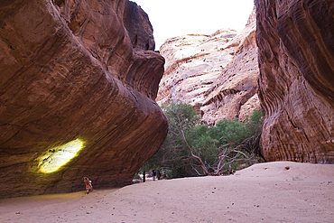
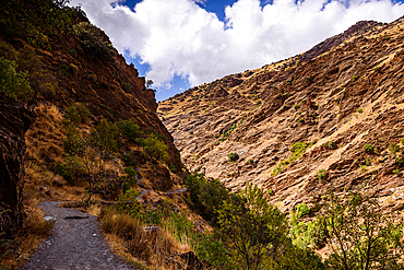
Woman walking with headlamp at the bottom of canyon with sandstone walls in the Sharaan Nature Reserve, AlUla, Medina Province, Saudi Arabia
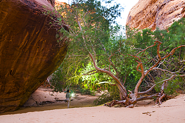
Woman walking with headlamp at the bottom of canyon with sandstone walls in the Sharaan Nature Reserve, AlUla, Medina Province, Saudi Arabia
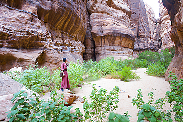
Woman walking at the bottom of a canyon with sandstone walls in the Sharaan Nature Reserve, AlUla, Medina Province, Saudi Arabia
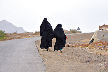
Women dressed in black abaya walking along the road, Draa River valley, Province of Zagora, Region Draa-Tafilalet, Morocco

People passing sign indicating direction of Timbuktu at 52 days by camel, Zagora, Draa River valley, Province of Zagora, Draa-Tafilalet region, Morocco
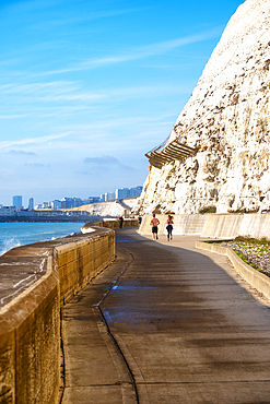
The Undercliff Walk between Brighton and Saltdean, City of Brighton and Hove, East Sussex, England, United Kingdom

Women walking on the road to Akha tribe village in the mountains surrounding Muang La, Oudomxay Province, northwestern Laos

Hikers beside the Moiry Glacier on the Walkers Haute Route from Chamonix to Zermatt, Swiss Alps, Valais, Switzerland, Europe
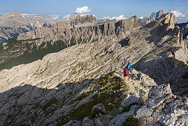
Hiking in typical mountainous terrain of the Dolomites range of the Alps on the Alta Via 1 trekking route near Rifugio Nuvolau, Belluno, Veneto, Italy, Europe
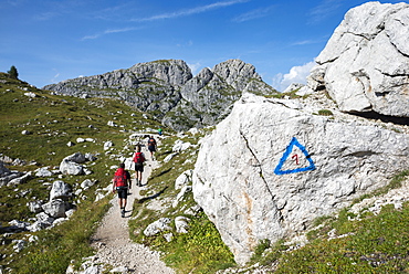
Walkers hiking through the Dolomites range of the Alps along the Alta Via 1 trekking route, Belluno, Veneto, Italy, Europe
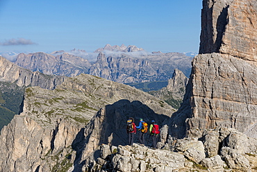
Hiking in typical mountainous terrain of the Dolomites range of the Alps on the Alta Via 1 trekking route near Rifugio Nuvolau, Belluno, Veneto, Italy, Europe

Christian pilgrims on the Camino de Santiago (St. James' Way) route in France on their way to Spain, France, Europe
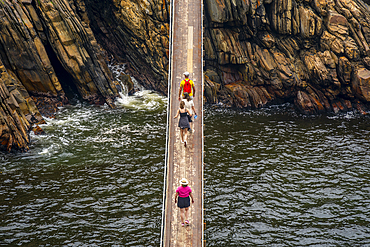
View of people crossing suspension bridge at Storms River, Tsitsikamma National Park, Garden Route National Park, South Africa, Africa
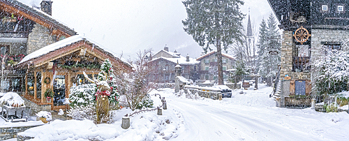
View of snow covered wooden houses in Entreves in winter, Entreves, Aosta Valley, Italian Alps, Italy
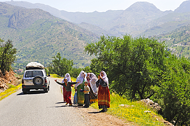
Berber women walking to a village of palm grove Targa N'touchka, Chtouka Ait Baha province, Anti-Atlas, Morocco
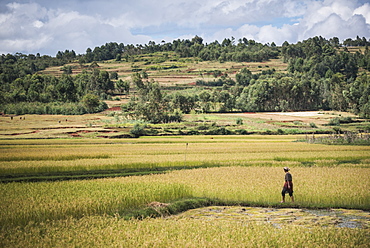
Lady in rice paddy fields on RN7 (Route Nationale 7) near Ambatolampy in the Central Highlands, Madagascar, Africa

View of hotel and beach bar at Central Beach in Plettenberg Bay, Plettenberg, Garden Route, Western Cape Province, South Africa, Africa
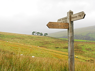
Sign post for the Pennine Way, a 270 mile long walking route, Yorkshire Dales National Park, Yorkshire, England, United Kingdom, Europe
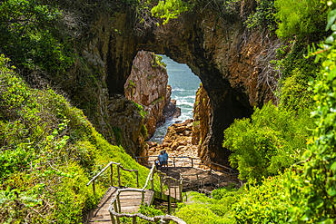
View of the Featherbed sea caves and coastline in Featherbed Nature Reserve, Knysna, Garden Route, Western Cape, South Africa, Africa
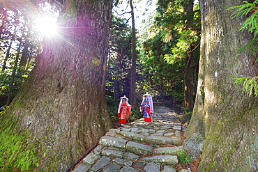
Pilgrims on Daimon-zaka Nachi tokaido pilgrimage route, UNESCO World Heritage Site, Wakayama Prefecture, Honshu, Japan, Asia
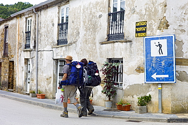
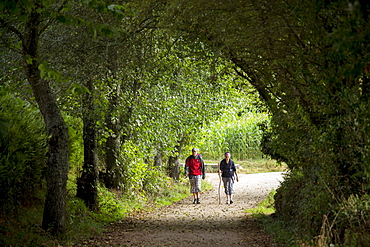
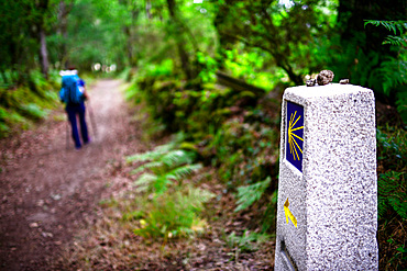
Couple pass sign on Camino de Santiago Pilgrim's Way to Santiago de Compostela at Triacastela in Galicia, Spain
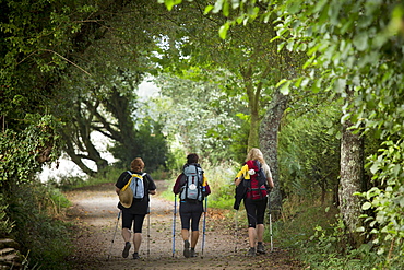
Pilgrim group with shells on rucksacks on the Camino de Santiago Pilgrim's Walk to Santiago de Compostela in Galicia, Spain
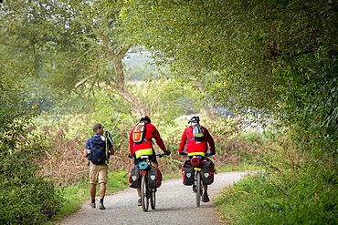
Cyclists and walker on the Camino de Santiago Pilgrim's route to Santiago de Compostela in Galicia, Spain
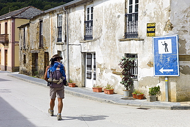
Walker checks sign on Camino de Santiago Pilgrim's Walk, to Santiago de Compostela at Triacastela in Galicia, Spain

Street art, large murals, part of the very first City Centre Mural Trail, are all in one easy walking route, Glasgow, Scotland, United Kingdom, Europe
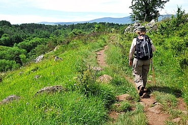
Pilgrim walking on the Way of St. James, Christian pilgrimage route towards Saint-Jacques-de-Compostelle (Santiago de Compostela), Languedoc-Roussillon, France, Europe
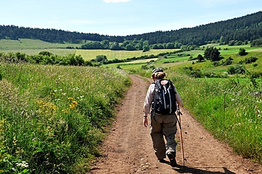
Pilgrim walking on the Way of St. James, Christian pilgrimage route towards Saint-Jacques-de-Compostelle (Santiago de Compostela), Languedoc-Roussillon, France, Europe
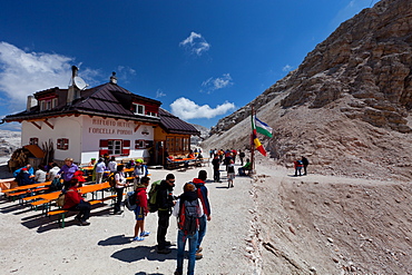
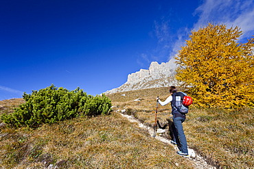
Hiking on the high route 2 in the Dolomites, Bolzano Province, Trentino-Alto Adige/South Tyrol, Italy, Europe
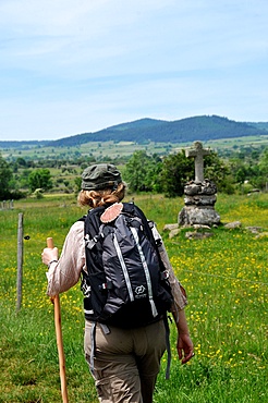
Pilgrim walking on the Way of St. James, Christian pilgrimage route towards Saint-Jacques-de-Compostelle (Santiago de Compostela), Languedoc-Roussillon, France, Europe
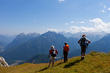
Hiking on the high route 2 in the Dolomites, Bolzano Province, Trentino-Alto Adige/South Tyrol, Italy, Europe
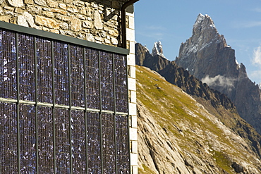
Solar panels on a visitor centre in the Vallon de la Lex Blanche below Mont Blanc, Italy, on the Tour de Mont Blanc long distance footpath.
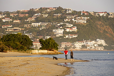
Couple walking their dog along the beach of Leisure Isle in Knysna Lagoon on the Garden Route, Western Cape, South Africa, Africa
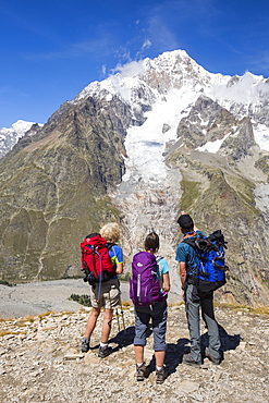
Walkers on the Tour de Mont Blanc ascending out of the Vallon de la Lex Blanche in Italy, below Mont Blanc.
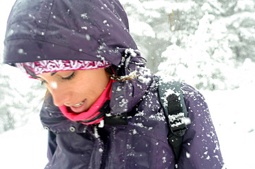
Young woman faces blizzard while hiking in snowy day at Pe?alara, highest mountain peak in the mountain range of Guadarrama, Spain

Teenager climbing on the Paternkofel fixed rope route past the Frankfurter Wuerstel rock, via ferrata, Boedenseen, Hochpustertal, Dolomites, South Tyrol, Italy
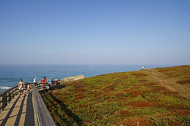
Boardwalk, oceanway, steep coast, Playa de Catedrales, Praia das Catedrais, Beach of the Cathedrals, rock formations, beach, coast Atlantic Ocean, near Ribadeo, Camino de la Costa, Camino del Norte, coastal route, Way of Saint James, Camino de Santiago, pilgrims way, province of Lugo, Galicia, Northern Spain, Spain, Europe
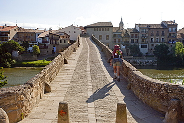
Stone bridge, Puente la Reina, from the 11th century, Rio Arga, river, Camino Frances, Way of St. James, Camino de Santiago, pilgrims way, UNESCO World Heritage, European Cultural Route, province of Navarra, Northern Spain, Spain, Europe
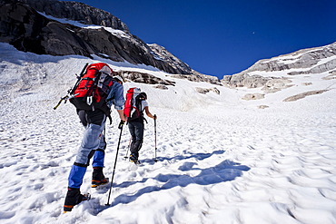
Hikers climbing Mt Marmolata, fixed rope route on west ridge, Dolomites mountain range, Italy, Europe
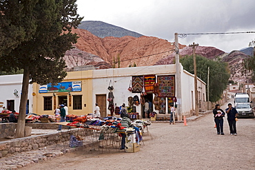
Mart in Purmamarca at the multicolored hill Cerro de los Siete Colores, Quebrada de Humahuaca, Argentina, South America
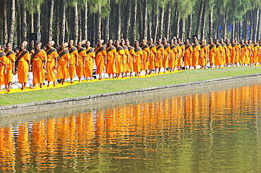
Monks next to pine forest, reflection, Thudong or Dhutanga, Wat Phra Dhammakaya, Khlong Luang District, Pathum Thani, Bangkok, Thailand, Asia
