Results
9 results found

A Waterpocket Fold highlighting the erosion of tilted rock layers, formed 50 to 70 million years ago, Capitol Reef National Park, Utah, United States of America, North America
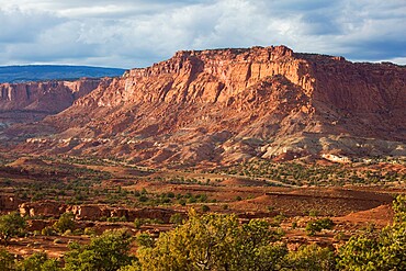
View from Panorama Point across valley to rugged cliffs of the Waterpocket Fold, sunset, Capitol Reef National Park, Utah, United States of America, North America
Sandstone cliffs of the Waterpocket Fold towering above Scenic Drive, sunset, Fruita, Capitol Reef National Park, Utah, United States of America, North America
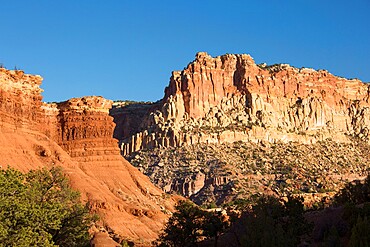
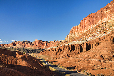
Sandstone cliffs of the Waterpocket Fold towering above Scenic Drive, sunset, Fruita, Capitol Reef National Park, Utah, United States of America, North America

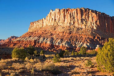
The Castle, an iconic sandstone peak forming part of the Waterpocket Fold, autumn, Fruita, Capitol Reef National Park, Utah, United States of America, North America
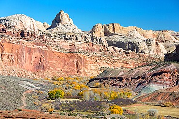
View across valley to the Waterpocket Fold from the Fremont River Trail, autumn, Fruita, Capitol Reef National Park, Utah, United States of America, North America

View from Sunset Point to the Waterpocket Fold and distant Henry Mountains, sunset, Capitol Reef National Park, Utah, United States of America, North America
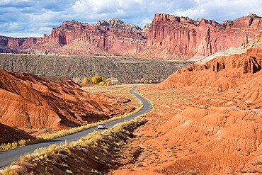
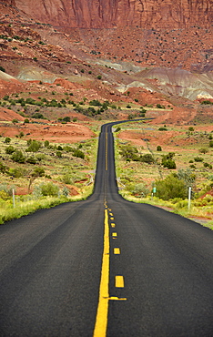
Car heading north along the Scenic Drive towards the Waterpocket Fold, Fruita, Capitol Reef National Park, Utah, United States of America, North America

The Castle, an iconic sandstone peak forming part of the Waterpocket Fold, autumn, Fruita, Capitol Reef National Park, Utah, United States of America, North America
