Results
12 results found
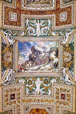
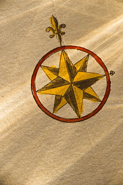
The painted ceiling in the gallery of Maps, Vatican Museum, UNESCO World Heritage Site, Vatican City, Rome, Lazio, Italy, Europe
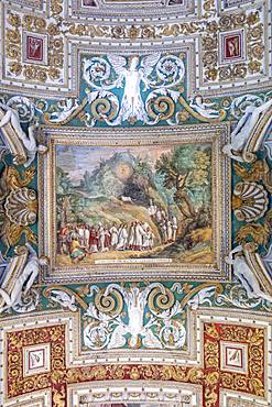
The painted ceiling in the gallery of Maps, Vatican Museum, UNESCO World Heritage Site, Vatican City, Rome, Lazio, Italy, Europe
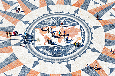
Pavement on the Tagus riverbank in front of the Padrao dos Descobrimentos, Compass rose and world map, Belem, Lisbon, Portugal, Europe
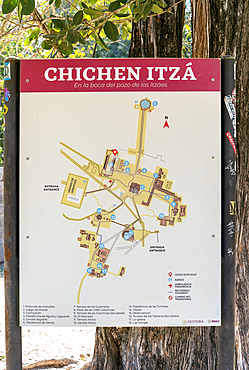
Map of archaeological site, Chichen Itza, UNESCO World Heritage Site, Yucatan, Mexico, North America

Coronavirus (Covid-19), global pandemic, World map with surgical mask and Bible, Koran and Torah, Interreligious dialogue, France, Europe
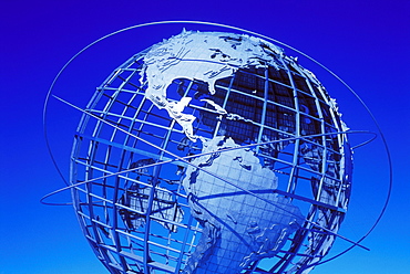
Globe, Flushing Meadows Corona Park, Queens, New York City, New York, United States of America, North America
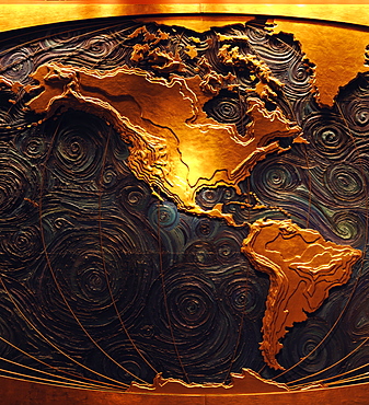
Map mural of the continents of Norh America and South America, Houston, Texas, United States of America, North America
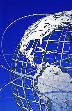
Globe, Flushing Meadows Corona Park, Queens, New York City, New York, United States of America, North America

Couple looking at map in front of Roman amphitheatre, UNESCO World Heritage Site, Arles, Provence, France, Europe
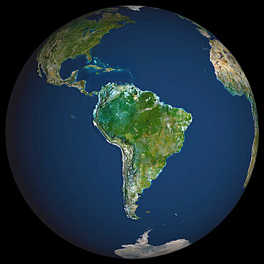
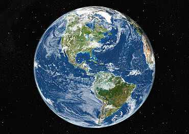
Globe South America, True Colour Satellite Image. Earth. True colour satellite image of the Earth, centred on South America

Globe Europe, True Colour Satellite Image. True colour satellite image of the whole earth, showing Europe at centre. The picture is a composite created from thousands of separate images recorded by LANDSAT 5 & 7 satellites. Print size 42x42cm.
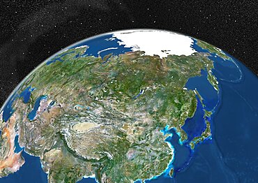
Globe Showing Asia, True Colour Satellite Image. True colour satellite image of the Earth showing Asia and the North Pole. This image in orthographic projection was compiled from data acquired by LANDSAT 5 & 7 satellites.
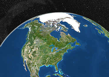
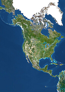
Globe Showing Northern America, True Colour Satellite Image. True colour satellite image of the Earth showing Greenland, the North Pole and Northern America. This image in orthographic projection was compiled from data acquired by LANDSAT 5 & 7 satellites.
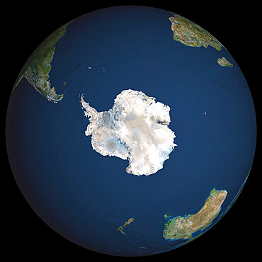
Globe South Pole, True Colour Satellite Image. Earth. True colour satellite image of the Earth, centred on Antarctica
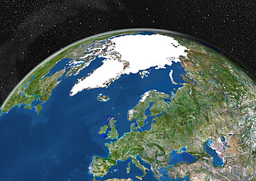
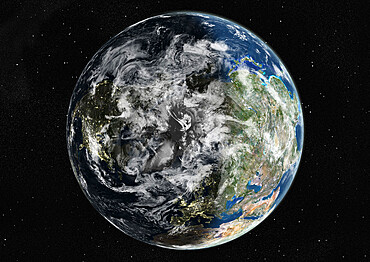
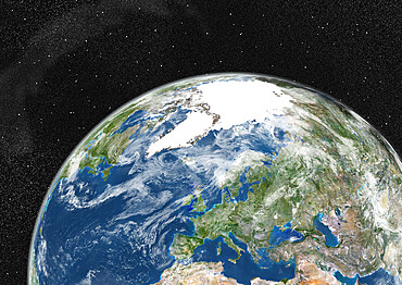
Globe Showing Europe, True Colour Satellite Image. True colour satellite image of the Earth showing Greenland, the North Pole and Europe. This image in orthographic projection was compiled from data acquired by LANDSAT 5 & 7 satellites.
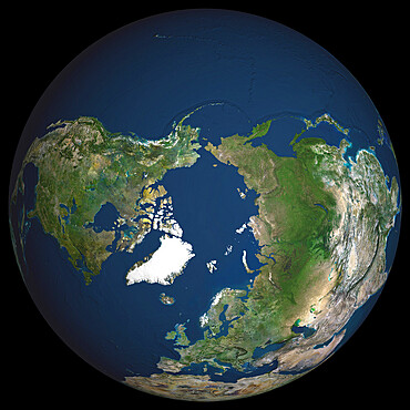
Globe North Pole, True Colour Satellite Image. Cloudless true colour satellite image of the Earth, centred on the Arctic or north polar region
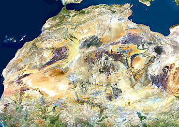
Sahara Desert, Africa, True Colour Satellite Image. Sahara desert, true colour satellite image. The Sahara is the world's largest hot desert, made of sand and volcanic mountains. Composite image using data from LANDSAT 5 & 7 satellites.
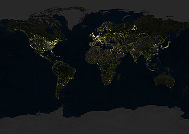
Whole Earth At Night With Country Borders, True Colour Satellite Image. True colour satellite image of the whole Earth at night with country borders. This image in Miller projection was compiled from data acquired by LANDSAT 5 & 7 satellites.
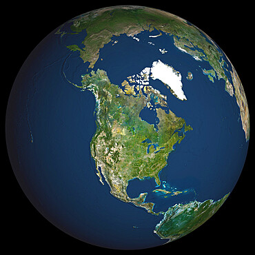
Globe North America, True Colour Satellite Image. Earth. True colour satellite image of the Earth, centred on North America
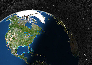
Globe Showing Northern America, True Colour Satellite Image. True colour satellite image of the Earth showing Northern America, half in shadow. This image in orthographic projection was compiled from data acquired by LANDSAT 5 & 7 satellites.
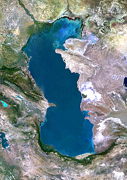
Caspian Sea, Asia, True Colour Satellite Image. True colour satellite image of the Caspian Sea in Asia. It is bounded by Iran, Russia, Kazakhstan, Turkmenistan and Azerbaijan. The Caspian Sea is the world's largest inland sea. Composite image using LANDSAT 5 data.
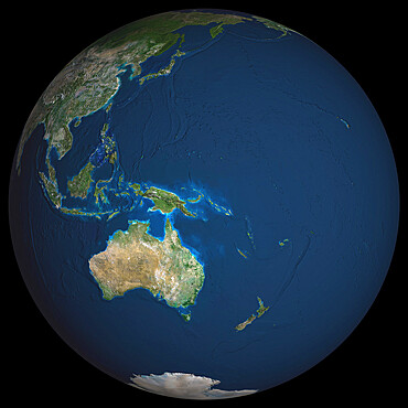
Globe Oceania, True Colour Satellite Image. Earth. True colour satellite image of the Earth, centred on the region of Oceania
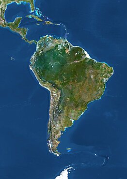
South America, True Colour Satellite Image. True colour satellite image of South America. This image in Lambert Azimuthal Equal Area projection was compiled from data acquired by LANDSAT 5 & 7 satellites.
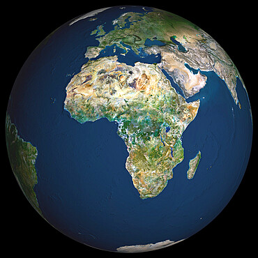
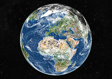
Globe Africa, True Colour Satellite Image. Earth. True colour satellite image of the Earth, centred on Africa
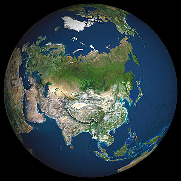
Globe Asia, True Colour Satellite Image. Earth. True colour satellite image of the Earth, centred on Asia

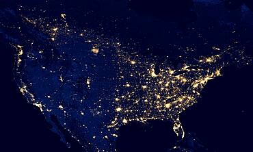
USA from space at night concept with street lights on panoramic. Some elements sourced from NASA public Domain.
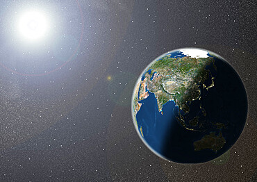
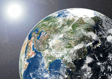
Globe Showing Asia, True Colour Satellite Image. True colour satellite image of the Earth showing Asia and Oceania, half in shadow, and the sun. This image in orthographic projection was compiled from data acquired by LANDSAT 5 & 7 satellites.
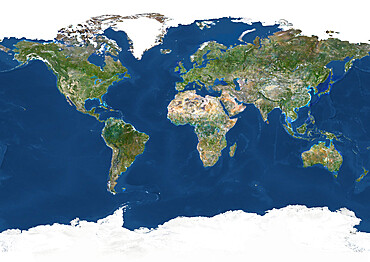
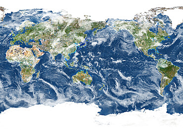
Whole Earth With Country Borders, True Colour Satellite Image. True colour satellite image of the whole Earth with country borders
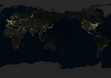
Whole Earth At Night Centred On Pacific Ocean, True Colour Satellite Image. True colour satellite image of the whole Earth at night, centred on the Pacific Ocean. This image in Miller projection was compiled from data acquired by LANDSAT 5 & 7 satellites.

Africa At Night, True Colour Satellite Image. True colour satellite image of Africa at night. This image in Lambert Azimuthal Equal Area projection was compiled from data acquired by LANDSAT 5 & 7 satellites.

South America At Night, True Colour Satellite Image. True colour satellite image of South America at night. This image in Lambert Azimuthal Equal Area projection was compiled from data acquired by LANDSAT 5 & 7 satellites.
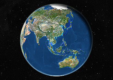
Globe Centred On Asia And Oceania, True Colour Satellite Image. True colour satellite image of the Earth centred on Asia and Oceania

People on the World Mosaic Map, View from the top of the Discoveries Monument, Padrao dos Descobrimentos, Belem, Lisbon, Lisboa, Portugal, Europe
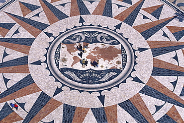
Padrao dos Descobrimentos, Memorial of Discoveries, mosaic decoration showing a world map and a wind rose, Belem, Lisbon, Portugal
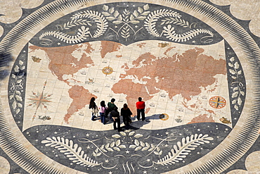
People looking at world map on the ground in front of Monument of the Discoveries, Lisbon, Portugal, Europe
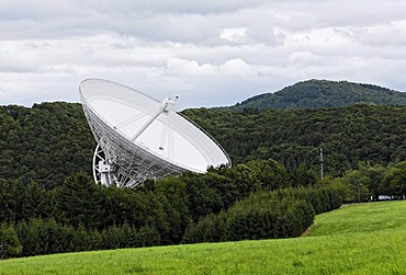
Radio telescope, Max-Planck-Institute for radio astronomy, Bad Muenstereifel-Effelsberg, Eifel, North Rhine-Westphalia, Germany, Europe
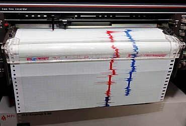
Recorder of a measuring instrument, red and blue lines on milimeter paper, system work-shop in the Max-Planck-Institute for radio astronomy, Bad Muenstereifel-Effelsberg, Eifel, North Rhine-Westphalia, Germany, Europe
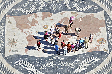
Tourists on a giant world map at the foot of the Monument to the Discoveries, Padrao dos Descobrimentos, Belem, Lisbon, Portugal, Europe
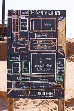
Site plan, Santa Laura Saltpeter Works, UNESCO World Heritage Site, Atacama Desert, northern Chile, Chile, South America
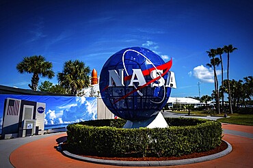
NASA logo with globe in front of blue sky and palm trees at the Kennedy Space Center, Cape Canaveral


