Results
« Previous 1 … 12 13 14 15 16 17 Next »
1637 results found
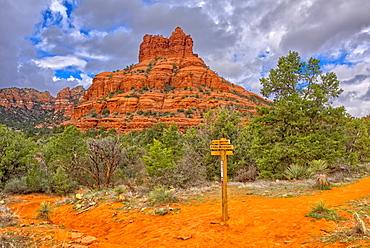
The Bell Rock of Sedona viewed from the Rector Connector Trail junction, Arizona, United States of America, North America
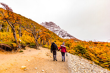
Enjoying the peaceful and beautiful scenery of Torres del Paine National Park, Patagonia, Chile, South America
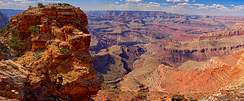
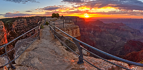
Northern view of the Grand Canyon from Papago Point on the south rim, the rock on the left is Hollenback Point, Grand Canyon National Park, UNESCO World Heritage Site, Arizona, United States of America, North America
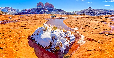
Snow covered Cathedral Rock in Sedona viewed from a sandstone plateau along Secret Slick Rock Trail, Arizona, United States of America, North America

Giant Hoodoos in the Devil's Playground at Petrified Forest National Park, Arizona, United States of America, North America
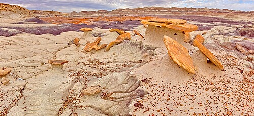
Sand Castle formations on the edge of the Red Basin in Petrified Forest National Park, Arizona, United States of America, North America
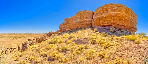
A rock formation called Agate Mesa, Petrified Forest National Park, Arizona, United States of America, North America
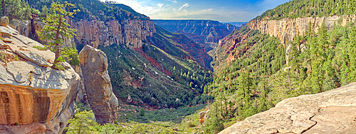
Bright Angel Canyon viewed from Coconino Overlook along North Kaibab Trail on Grand Canyon North Rim, Arizona, United States of America, North America
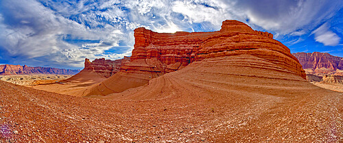
Cathedral Rock viewed from the slope of neighbouring Sunset Rock in Glen Canyon Recreation Area at Marble Canyon, Arizona, United States of America, North America

Three hoodoos in a triangular formation in Devil's Playground called the Unholy Trinity, Petrified Forest National Park, Arizona, United States of America, North America
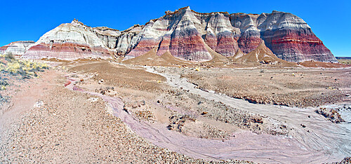
South side of Damnation Mesa on the north end of Devil's Playground in Petrified Forest National Park, Arizona, United States of America, North America
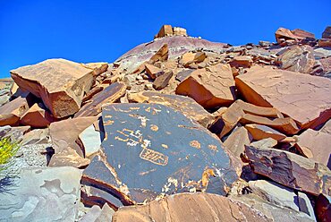
Ancient Indian petroglyphs on a boulder near Martha's Butte in Petrified Forest National Park Arizona.
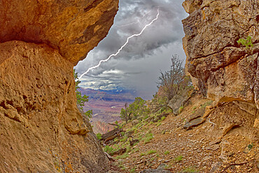
Grand Canyon viewed from inside a cave between Zuni and Papago Points while a storm is rolling into the area, Grand Canyon National Park, UNESCO World Heritage Site, Arizona, United States of America, North America
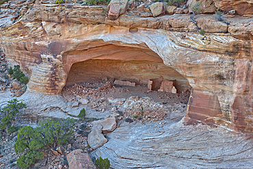
The haunted Massacre House Ruins in Canyon del Muerto (Canyon of the Dead), on the north end of Canyon De Chelly, site of a Navajo massacre by Spanish Soldiers in 1825, Arizona, United States of America, North America
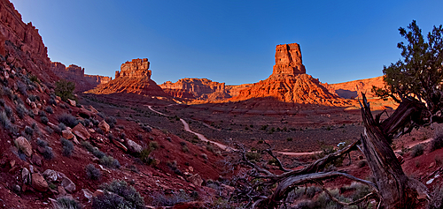
Valley of the Gods viewed from the north slope of the rock formation called Rudolph and Santa, northwest of Monument Valley and Mexican Hat, Utah, United States of America, North America
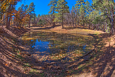
One of three ponds called the Hearst Tanks, on Grand Canyon South Rim, located one mile east of Grandview Point, Grand Canyon National Park, UNESCO World Heritage Site, Arizona, United States of America, North America
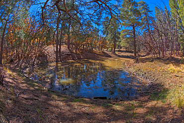
One of three ponds called the Hearst Tanks, on Grand Canyon South Rim, located one mile east of Grandview Point, Grand Canyon National Park, UNESCO World Heritage Site, Arizona, United States of America, North America
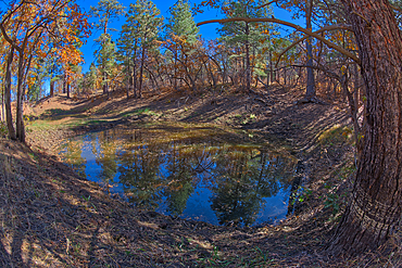
Two of three ponds called the Hearst Tanks, on Grand Canyon South Rim, located one mile east of Grandview Point, Grand Canyon National Park, UNESCO World Heritage Site, Arizona, United States of America, North America

Craggy rock spires overlooking South Rim Gorge, an area between Hance Canyon and the Sinking Ship, which is right of center in the distance, southern most part of Grand Canyon National Park, UNESCO World Heritage Site, Arizona, United States of America, North America
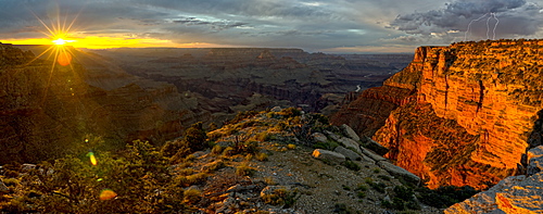
Grand Canyon viewed west of Moran Point at sunset with an approaching storm on the right, Arizona, United States of America, North America
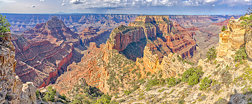
Panorama view of Freya's Castle and Wotan's Throne from the overlook of Cape Royal on Grand Canyon North Rim, Arizona, United States of America, North America
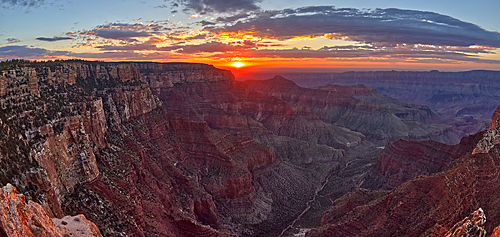
The sun rising at Grand Canyon North Rim, viewed from the Angels Window Overlook at Cape Royal, Grand Canyon National Park, UNESCO World Heritage Site, Arizona, United States of America, North America

View of Freya's Castle and Vishnu Temple on the left and Wotan's Throne on the right at sunrise viewed from Cape Royal, North Rim, Grand Canyon National Park, UNESCO World Heritage Site, Arizona, United States of America, North America
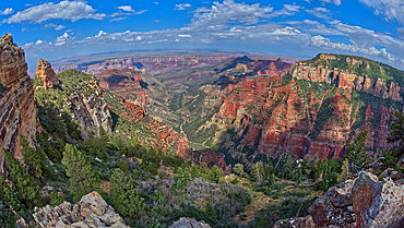
Grand Canyon North Rim viewed from Roosevelt Point with Tritle Peak on the left and Atoko Point on the right, Gand Canyon, Arizona, United States of America, North Amerca
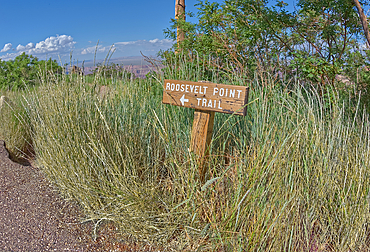
Wooden sign marking the way to Roosevelt Point on the North Rim of Grand Canyon, Arizona, United States of America, North America
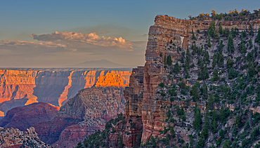
Closeup of Angel's Window at Cape Royal on North Rim above Unker Creek near sundown, with brown haze on the horizon smoke from a wildfire near the park, Grand Canyon National Park, UNESCO World Heritage Site, Arizona, United States of America, North America
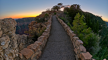
The paved pathway between Bright Angel Point and the visitor center at Grand Canyon North Rim at twilight, Grand Canyon National Park, UNESCO World Heritage Site, Arizona, United States of America, North America
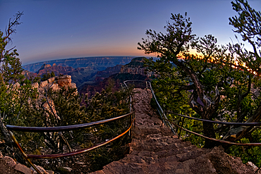
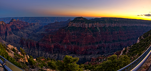
An overlook along the Transept Trail at Grand Canyon North Rim at twilight, Grand Canyon National Park, UNESCO World Heritage Site, Arizona, United States of America, North America
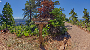
Bright Angel Point trail sign pointing the way to the overlook on Grand Canyon North Rim, Grand Canyon National Park, UNESCO World Heritage Site, Arizona, United States of America, North America
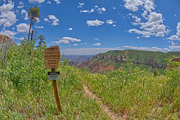
Sign marking the boundary for the Saddle Mountain Wilderness that borders Grand Canyon National Park, Arizona, United States of America, North America
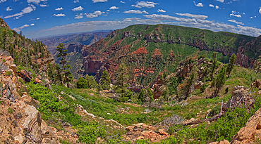
Point Imperial in Grand Canyon North Rim viewed from the summit of Saddle Mountain, Grand Canyon National Park, UNESCO World Heritage Site, Arizona, United States of America, North America
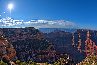
Grand Canyon viewed from the cliffs of Walhalla Glades on the North Rim, with Cape Royal on left, Vishnu Temple in the center, and Wotan's Throne on right, Grand Canyon National Park, UNESCO World Heritage Site, Arizona, United States of America, North America

Western Mitten Ridge viewed from the Hangover Trail, Sedona, Arizona, United States of America, North America
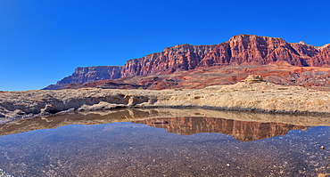
A pool of water reflecting the summit of Johnson Point below Vermilion Cliffs, Glen Canyon Recreation Area, Arizona, United States of America, North America
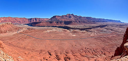
Panorama of Marble Canyon viewed from Johnson Point below the Vermilion Cliffs, Glen Canyon Recreation Area, Arizona, United States of America, North America
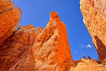
View of the sky from the centre of Cathedral Rock in Sedona, Arizona, United States of America, North America

Panorama of Courthouse Butte and Bell Rock with a coating of winter snow on their slopes in Sedona, Arizona, United States of America, North America

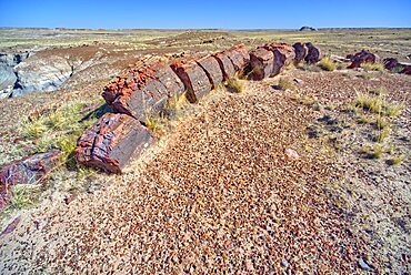
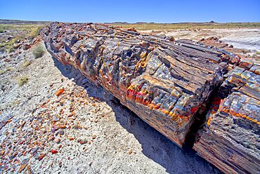
Petrified Wood in the First Forest of Petrified Forest National Park, Arizona, United States of America, North America

A ridge in the Devil's Playground of crumbling hoodoos that resemble Goblins,Petrified Forest National Park, Arizona, United States of America, North America

Panorama of Grand Canyon viewed from Powell Point along the Hermit Road, Grand Canyon National Park, UNESCO World Heritage Site, Arizona, United States of America, North America
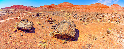
Hills of blood red bentonite clay below Kachina Point in Petrified Forest National Park, Arizona, United States of America, North America
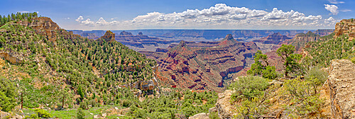
Panorama view of Grand Canyon from Widforss Point on the North Rim, UNESCO World Heritage Site, Arizona, United States of America, North America

Panorama of Vermilion Cliffs from the Saddle of Cathedral Rock and Sunset Rock at Marble Canyon, Arizona, United States of America, North America

Lake Powell viewed from an overlook in the Wahweap Recreation Area near Page, Arizona, United States of America, North America
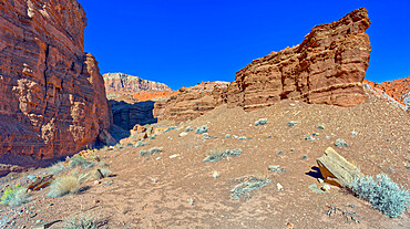
Cliffs of Chocolate Canyon at Vermilion Cliffs National Monument, Arizona, United States of America, North America
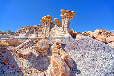
A hoodoo ridge in Devil's Playground at Petrified Forest National Park, Arizona, United States of America, North America
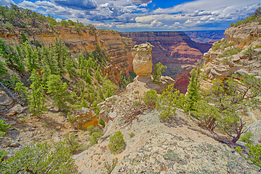
Loki's Rock at Grand Canyon east of Thor's Hammer Overlook, Grand Canyon National Park, UNESCO World Heritage Site, Arizona, United States of America, North America

A hiker looking west from a cliff near Zuni Abyss at Grand Canyon, Zuni Point in the background just right of center, Grand Canyon National Park, UNESCO World Heritage Site, Arizona, United States of America, North America

Glen Canyon Dam viewed from main overlook just south of dam, Page, Arizona, United States of America, North America

The Sipapu Bridge (Gateway of the Soul in Hopi), the second highest natural arch in America, Natural Bridges National Monument, Utah, United States of America, North America
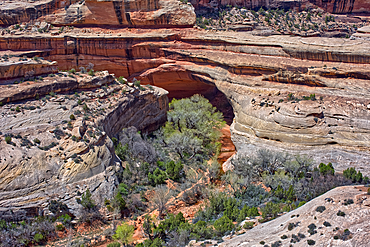
The Kachina Bridge, named for the Hopi Kachina dancers, Natural Bridges National Monument, Utah, United States of America, North America
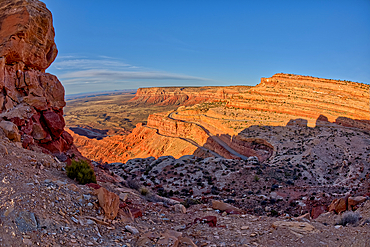
The winding Utah road of Highway 261 up the Moki Dugway from Valley of the Gods below, Utah, United States of America, North America
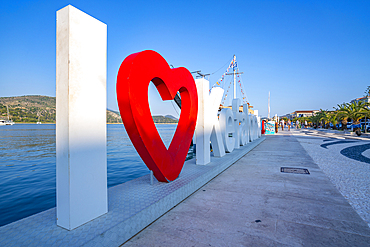
I Love Kefalonia sign in Argostoli, capital of Cephalonia, Argostolion, Kefalonia, Ionian Islands, Greek Islands, Greece, Europe
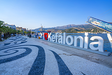
View of I Love Kefalonia sign in Argostoli, capital of Cephalonia, Argostolion, Kefalonia, Ionian Islands, Greek Islands, Greece, Europe
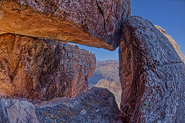
Grand Canyon viewed through a rock cave below Lipan Point on the South Rim, Grand Canyon National Park, UNESCO World Heritage Site, Arizona, United States of America, North America
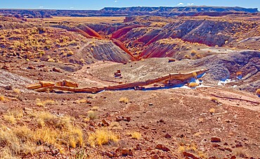
One of the few petrified trees almost intact, The Onyx Bridge in Petrified Forest National Park, Arizona, United States of America, North America
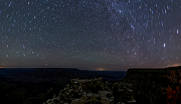
The swirl of stars in the night sky over Grand Canyon South Rim viewed from Moran Point, Grand Canyon National Park, UNESCO World Heritage Site, Arizona, United States of America, North America
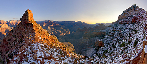
Sunrise view from Cedar Ridge along the South Kaibab Trail at Grand Canyon Arizona in winter. O'Neill Butte is on the left and Cremation Creek is below in the center. Ooh Aah Point in on the upper right.
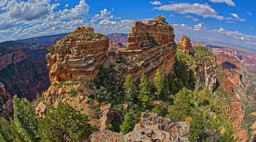
The summit of Tritle Peak off Roosevelt Point on Grand Canyon North Rim, Grand Canyon National Park, UNESCO World Heritage Site, Arizona, United States of America, North America
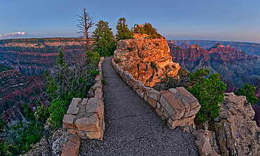
The paved pathway between Bright Angel Point and the visitor center at Grand Canyon North Rim at twilight, Grand Canyon National Park, UNESCO World Heritage Site, Arizona, United States of America, North America
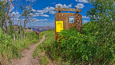
Sign marking the Nankoweap Trail for the Saddle Mountain Wilderness that borders Grand Canyon National Park, Arizona, United States of America, North America
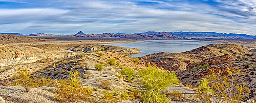
Alamo Lake with the Arrastra Mountain Wilderness in the distance, Arizona, United States of America, North America
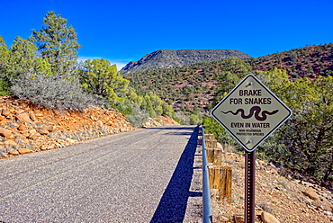
A road leading to Grasshopper Point in Sedona with a warning sign to not run over protected snakes, Arizona, United States of America, North America

Panorama of Courthouse Butte, Rabbit Ears, and Lee Mountain in Sedona, composed of eight photos, Arizona, United States of America, North America
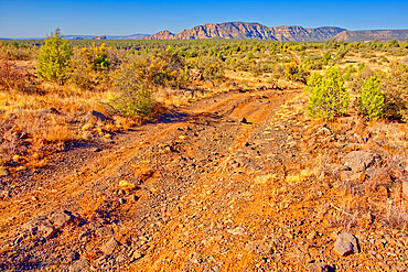
Rough road leading to the south rim of Rattlesnake Canyon southeast of Sedona in the Wet Beaver Wilderness, Arizona, United States of America, North America

Mounds of a volcanic clay called Bentonite in the Petrified Forest National Park, Arizona, United States of America, North America
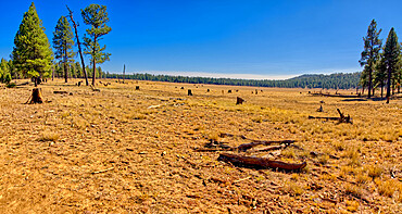
Meadow near Williams known as Sunflower Flat Wildlife Preserve, normally a wetland now dry due to Arizona's drought, Arizona, United States of America, North America
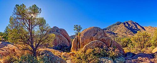
Giant boulders along Trail 345 in the Granite Mountain Recreation Area of the Prescott National Forest.

Panorama of a valley that is the Gateway to the Devil's Playground in Petrified Forest National Park, Arizona, United States of America, North America

Panorama view of Grand Canyon from the bow of the Sinking Ship rock formation, Grand Canyon National Park, UNESCO World Heritage Site, Arizona, United States of America, North America
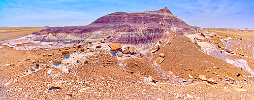
The northwest slope of the Purple Peninsula in Petrified Forest National Park, Arizona, United States of America, North America
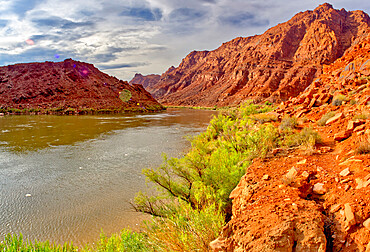
Panorama of the Colorado River just north of Lee's Ferry in the Glen Canyon Recreation Area, Arizona, United States of America, North America
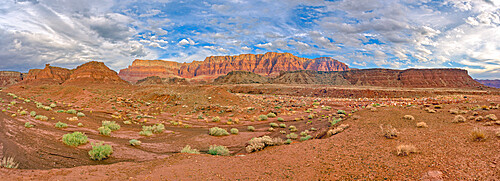
Vermilion Cliffs National Monument where it overlaps Glen Canyon Recreation Area, Arizona, United States of America, North America
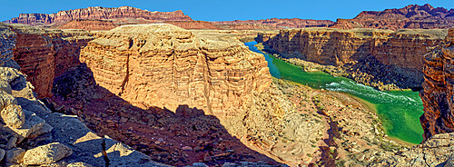
Colorado River flowing through Marble Canyon, viewed above Cathedral Wash, adjacent to the Glen Canyon Recreation Area, Arizona, United States of America, North America

A hoodoo near a natural Spring west of Pintado Point in Petrified Forest National Park Arizona called the Guardian.
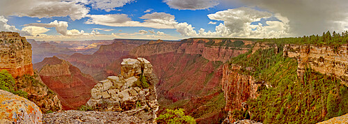
A large storm rolling into Grand Canyon near Grandview Point during the 2022 Monsoon season, Grand Canyon National Park, UNESCO World Heritage Site, Arizona, United States of America, North America
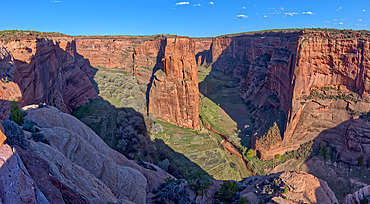
East view of Canyon De Chelly National Monument North Rim from Antelope House Overlook, left fork leads to Many Cherry Canyon, right fork to Black Rock Canyon, Arizona, United States of America, North America
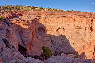
Caves in the cliff walls, used to store food by ancient Anasazi Indians, Canyon De Chelly National Monument, Arizona, United States of America, North America

View of Antelope Point, on the left, in Canyon De Chelly from just west of Tseyi Overlook, Arizona, United States of America, North America
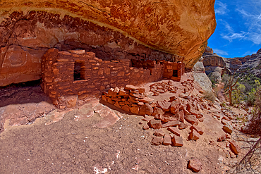
The Horse Collar Ruins located between the Sipapu Arch Bridge and the Kachina Arch Bridge, Natural Bridges National Monument, Utah, United States of America, North America
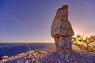
The famous Mushroom Rock at Shoshone Point at sunrise, Grand Canyon National Park, UNESCO World Heritage Site, Arizona, United States of America, North America
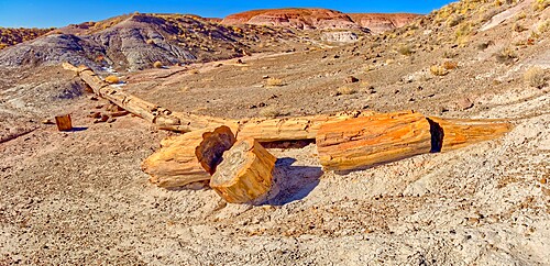
One of the few petrified trees almost intact, The Onyx Bridge in Petrified Forest National Park, Arizona, United States of America, North America

Jupiter Temple, a ridge on the east side of the North Rim, viewed from Cape Final, Grand Canyon National Park, UNESCO World Heritage Site, Arizona, United States of America, North America
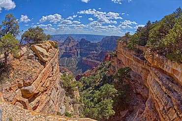
A narrow canyon along the south cliffs of Cape Final on the North Rim, with the pointed peak of Freya's Castle in the distance, Grand Canyon, Arizona, United States of America, North America


