Results
« Previous 1 … 14 15 16 17 18 … 306 Next »
30574 results found
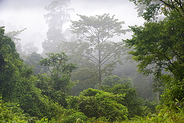
Macaranga sp. an early coloniser of logged forest because its seeds are capable of germinating in light sunny clearings, Tabin Wildlife Reserve, Sarawak, Borneo, Malaysia, Southeast Asia, Asia
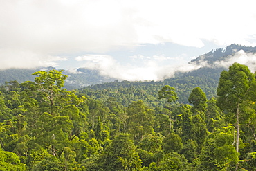
Mist rises from primary rainforest at dawn, Maliau Basin Conservation Area, Sabah, Borneo, Malaysia, Southeast Asia, Asia
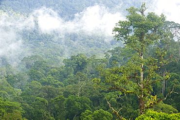
Mist rises from primary rainforest at dawn, Maliau Basin Conservation Area, Sabah, Borneo, Malaysia, Southeast Asia, Asia

Mount McKinley (Mount Denali), Denali National Park and Preserve, Alaska, United States of America, North America
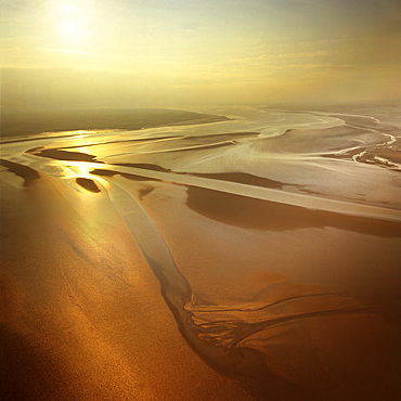
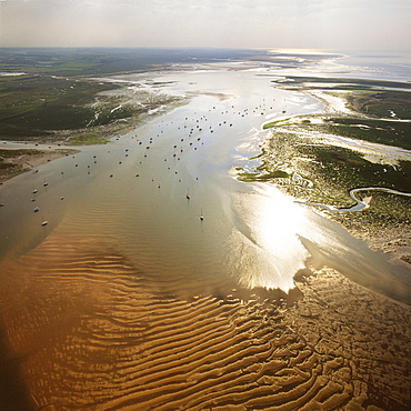
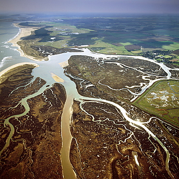
Aerial image of mudflats at sunset, Solway Firth, border between Cumbria in England and Dumfries and Galloway in Scotland, United Kingdom, Europe
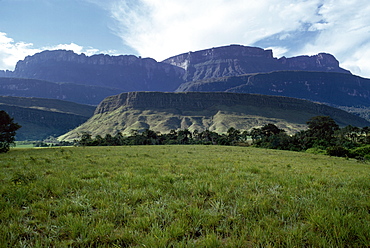
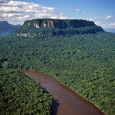
Tepuis showing south side of Auyantepui (Auyantepuy) (Devil's Mountain) from Uruyen valley, Canaima National Park, UNESCO World Heritage Site, Venezuela, South America
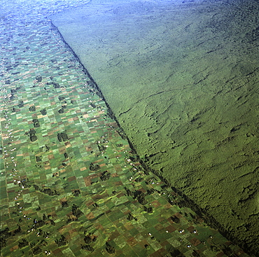
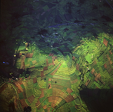
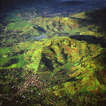
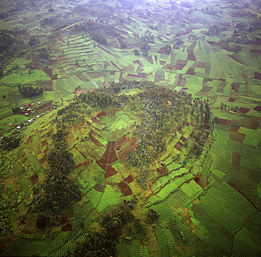
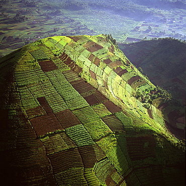
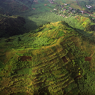
Aerial view of of Virunga National Park (Parc National des Volcans) showing the boundary of the park and agricultural land, Virunga Volcanoes, Rwanda, Africa
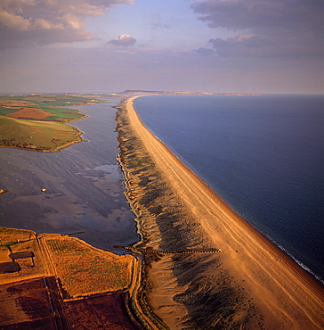
Aerial image of Chesil Beach (Chesil Bank), 29 km long shingle beach, a tombolo connecting mainland to the Isle of Portland, Jurassic Coast, UNESCO World Heritage Site, Dorset, England, United Kingdom, Europe
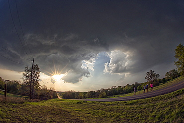
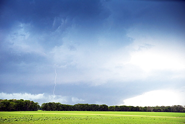
Dramatic cloud formations at the edge of an evening thunderstorm in rural Oklahoma, United States of America, North America
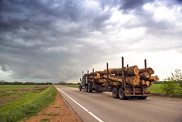
Logging truck in Mississippi driving into the heart of a thunderstorm with an extreme tornado watch, United States of America, North America
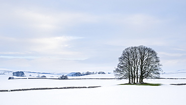
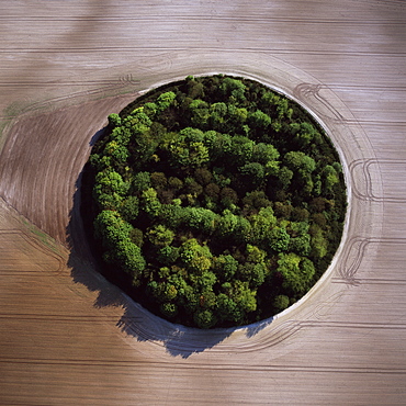
A small copse of trees in the winter snow near Malham, Yorkshire Dales, Yorkshire, England, United Kingdom, Europe
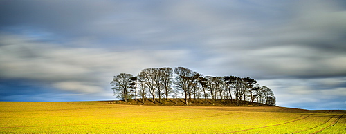
Copse atop drumlin near Boroughbridge on a showery spring evening, North Yorkshire, Yorkshire, England, United Kingdom, Europe
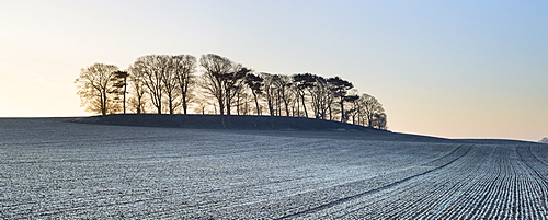
A small copse of trees growing on a drumlin in frosty dawn light, Boroughbridge, North Yorkshire, Yorkshire, England, United Kingdom, Europe
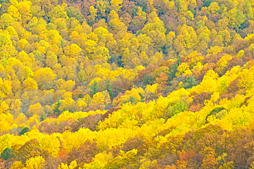
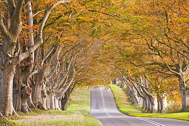
Beautiful foliage in the Indian summer, Blue Ridge Mountain Parkway, North Carolina, United States of America, North America
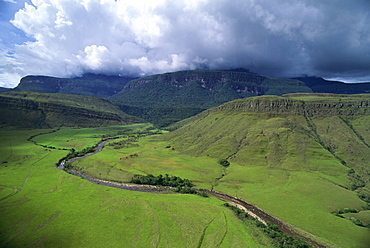
Aerial image of tepuis showing south side of Auyantepui (Auyantepuy) (Devil's Mountain) from Uruyen valley, Canaima National Park, UNESCO World Heritage Site, Venezuela, South America
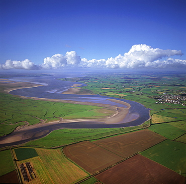
Aerial image of the River Esk flowing into Solway Firth, near Gretna Green, border between Cumbria in England and Dumfries and Galloway in Scotland, United Kingdom, Europe
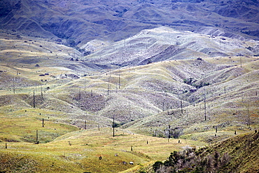
Aerial image of skeleton forest, damaged by forest fire, on La Gran Sabana, Canaima National Park, UNESCO World Heritage Site, Bolivar State, Venezuela, South America
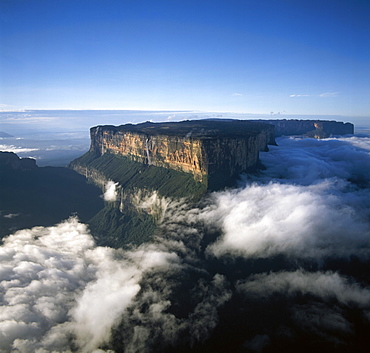
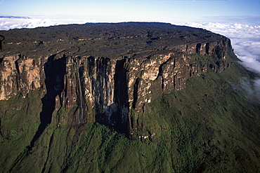
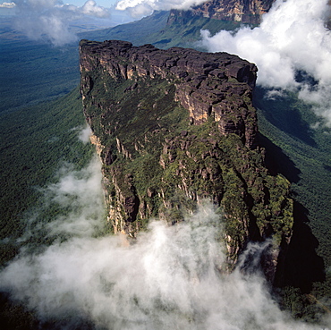
Aerial image of tepuis showing Mount Roraima (Cerro Roraima) from the north, Venezuela, South America
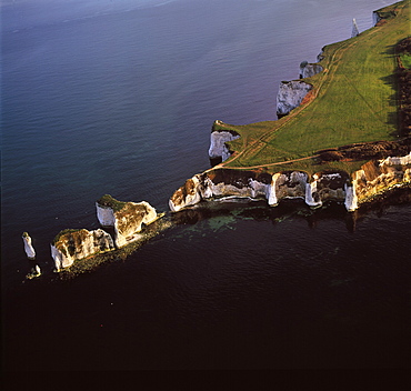
Aerial image of Old Harry Rocks, chalk stacks located directly east of Studland, north of Swanage, Dorset, England, United Kingdom, Europe
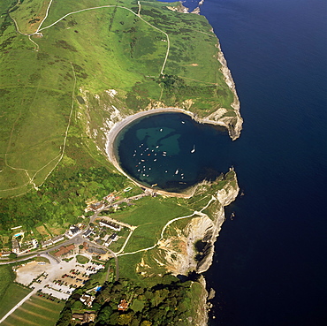
Aerial image of Lulworth Cove, a natural landform harbour, near West Lulworth, on the Jurassic Coast, UNESCO World Heritage Site, Dorset, England, United Kingdom, Europe
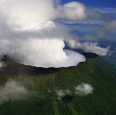
Aerial view of Mount Nyiragongo, an active volcano in the Virunga Mountains in Virunga National Park, near the border with Rwanda, known for its recent devastating eruptions, Democratic Republic of the Congo, Great Rift Valley, Africa
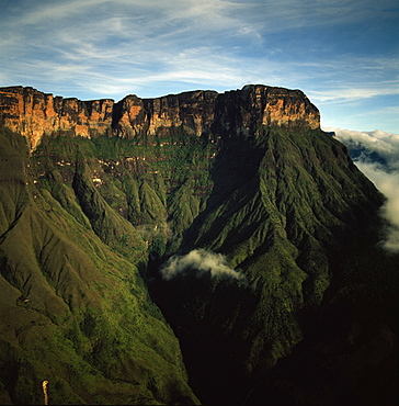
Aerial image of tepuis showing Mount Auyantepui (Auyantepuy) (Devil's Mountain), Venezuela, South America
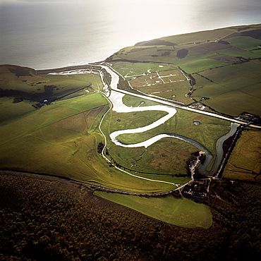
Aerial image of the Cuckmere River at Cuckmere Haven, Seven Sisters Country Park, East Sussex, England, United Kingdom, Europe
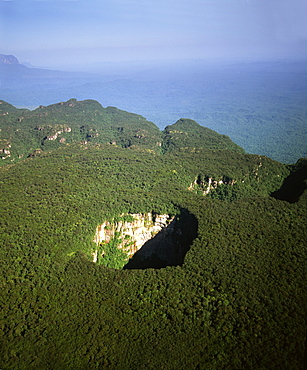
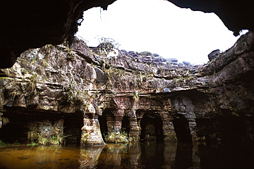
Aerial image of tepuis and Sarisarinama Sinkhole, Jaua-Sarisarinama National Park, Bolivar State, Venezuela, South America
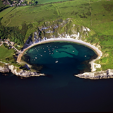
Aerial image of Lulworth Cove, a natural landform harbour, near West Lulworth, on the Jurassic Coast, UNESCO World Heritage Site, Dorset, England, United Kingdom, Europe
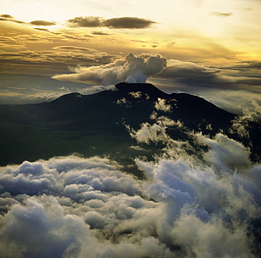
Aerial view of Mount Nyiragongo, an active volcano in the Virunga Mountains in Virunga National Park, near the border with Rwanda, known for its recent devastating eruptions, Democratic Republic of the Congo, Great Rift Valley, Africa
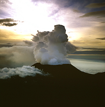
Aerial view of Mount Nyiragongo, an active volcano in the Virunga Mountains in Virunga National Park, near the border with Rwanda, known for its recent devastating eruptions, Democratic Republic of the Congo, Great Rift Valley, Africa
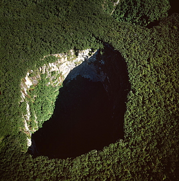
Aerial image of Sarisarinama Sinkhole, Jaua-Sarisarinama National Park, Tepuis, Bolivar State, Venezuela, South America
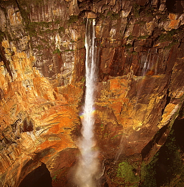
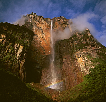
Aerial image of Angel Falls and Mount Auyantepui (Auyantepuy) (Devil's Mountain), Tepuis, Venezuela, South America
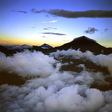
Aerial view of Mount Karisimbi, a dormant volcano in the Virunga Mountains on the border between Rwanda and the Democratic Republic of Congo (DRC), flanked by Mount Mikeno to the north, Mount Bisoke to the east and Mount Nyiragongo to the west, Great Rift Valley, Africa
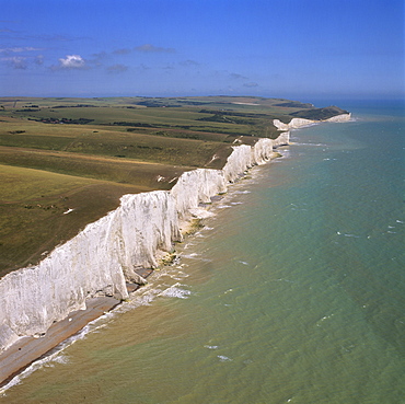
Aerial image of the chalk cliffs of the Seven Sisters, with Belle Tout lighthouse and Beachy Head in the distance, East Sussex, England, United Kingdom, Europe
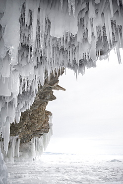
Icicles formed on the roof of caves at Olkhon Island as the waves enter the cave and freeze at the beginning of winter, Lake Baikal, Irkutsk Oblast, Siberia, Russia, Eurasia
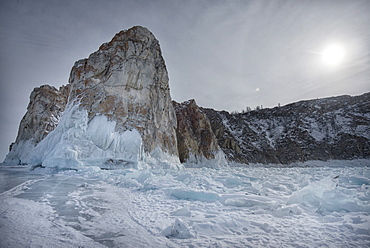
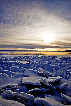
Rough ice formed at Shaman Rock, Olkhon Island as the waves freeze at the beginning of winter, Lake Baikal, Irkutsk Oblast, Siberia, Russia, Eurasia
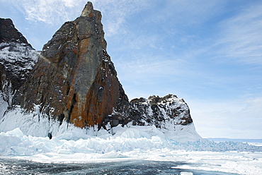
Rough ice formed at Olkhon Island as the waves freeze at the beginning of winter, Lake Baikal, Irkutsk Oblast, Siberia, Russia, Eurasia
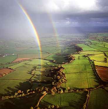
Aerial image of a double rainbow over the Somerset Levels, Somerset, England, United Kingdom, Europe
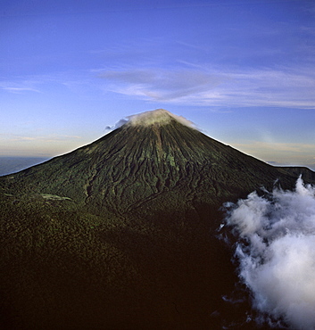
Aerial view of Mount Karisimbi, a dormant volcano in the Virunga Mountains on the border between Rwanda and the Democratic Republic of Congo (DRC), at 4507m the highest of the mountain range, Great Rift Valley, Africa
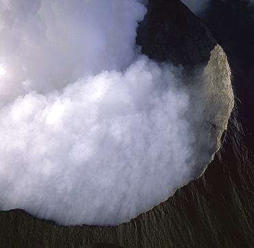
Aerial view of Mount Nyiragongo, an active volcano in the Virunga Mountains in Virunga National Park, near the border with Rwanda, known for its recent devastating eruptions, Democratic Republic of the Congo, Great Rift Valley, Africa
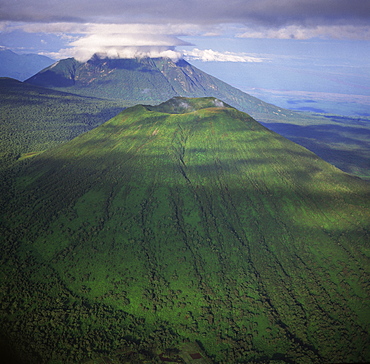
Aerial view of Mount Visoke (Mount Bisoke), an extinct volcano, straddling border of Rwanda and the Democratic Republic of the Congo. with Mount Mikeno in background, Virunga Volcanoes, Great Rift Valley, Africa
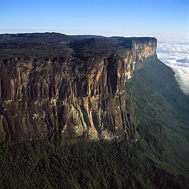
Aerial image of tepuis showing eastern cliff looking towards Brazil and Guyana, Mount Roraima, Venezuela, South America
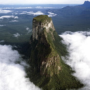
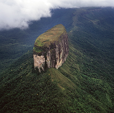
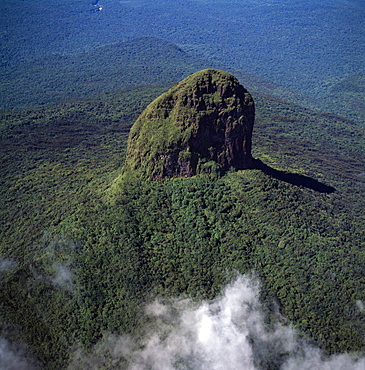
Aerial image of tepuis showing Mount Autana (Cerro Autana), Amazonas territory, Venezuela, South America
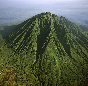
Aerial view of Mount Sabyinyo, an extinct volcano and oldest of the Virunga Mountains, the summit at 3645ï¾ metres marks the intersection of the borders of Democratic Republic of the Congo (DRC), Rwanda, and Uganda, Virunga Volcanoes, Africa
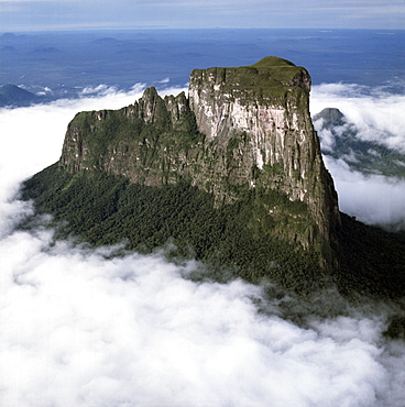
Aerial image of tepuis showing Mount Autana (Cerro Autana), Amazonas territory, Venezuela, South America
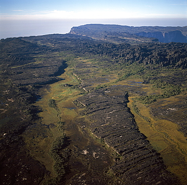
Aerial image of tepuis showing swamps and rock labyrinths on summit plateau in Brazilian and Guyanese sectors, Mount Roraima, Venezuela, South America
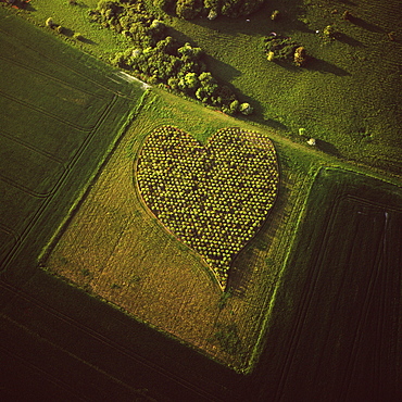
Aerial image of heart shape orchard, near Huish Hill earthwork, Oare, Wiltshire, England, United Kingdom, Europe
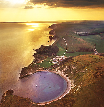
Aerial image of Lulworth Cove, a natural landform harbour, near West Lulworth, on the Jurassic Coast, UNESCO World Heritage Site, Dorset, England, United Kingdom, Europe
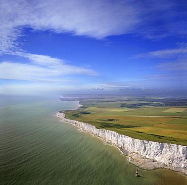
Aerial image of chalk cliffs and lighthouse at Beachy Head, near Eastbourne, East Sussex, England, United Kingdom, Europe
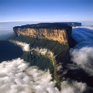
Aerial image of tepuis showing Mount Roraima (Cerro Roraima) from the north, Venezuela, South America
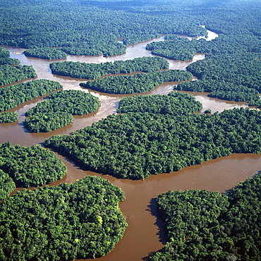
Aerial image of the Lower Mazaruni River with islands of tropical rain forest, Hororabo, near Bartica, Guyana, South America
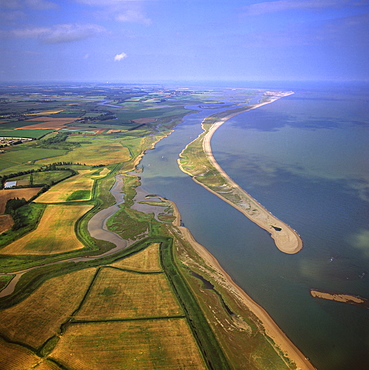
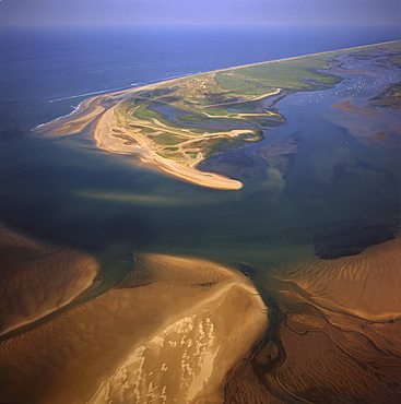
Aerial view of Orford Ness (Orfordness), a cuspate foreland shingle spit, Suffolk, England, United Kingdom, Europe
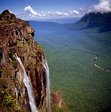
Angel Falls and Mount Auyantepui (Auyantepuy) (Devil's Mountain), looking out to Churun Gorge and Churun River, Tepuis, Venezuela, South America
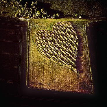
Aerial image of heart shape orchard, near Huish Hill earthwork, Oare, Wiltshire, England, United Kingdom, Europe
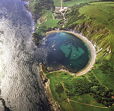
Aerial image of Lulworth Cove, a natural landform harbour, near West Lulworth, on the Jurassic Coast, UNESCO World Heritage Site, Dorset, England, United Kingdom, Europe
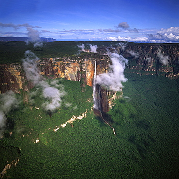
Aerial image of tepuis showing Angel Falls and Mount Auyantepui (Auyantepuy) (Devil's Mountain), Venezuela, South America
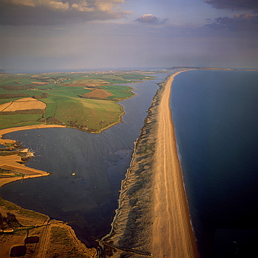
Aerial image of Chesil Beach (Chesil Bank), 29 km long shingle beach, a tombolo connecting mainland to the Isle of Portland, Jurassic Coast, UNESCO World Heritage Site, Dorset, England, United Kingdom, Europe
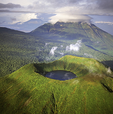
Aerial view of Mount Visoke (Mount Bisoke), an extinct volcano straddling the border of Rwanda and Democratic Republic of the Congo (DRC) showing crater lake, with Mount Mikeno in background, Virunga Volcanoes, Great Rift Valley, Africa
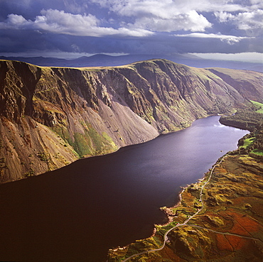
Aerial image of Wastwater Screes and Wast Water (Wastwater), the deepest lake in England, a good example of a glacially over-deepened valley, Wasdale Valley, Lake District National Park, Cumbria, England, United Kingdom, Europe
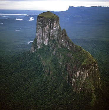
Aerial image of tepuis showing Mount Autana (Cerro Autana), Amazonas territory, Venezuela, South America
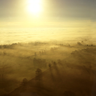
Aerial image of fog over the Somerset Levels, near Glastonbury, Somerset, England, United Kingdom, Europe
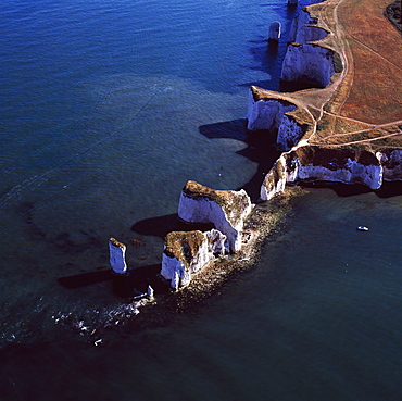
Aerial image of Old Harry Rocks, chalk stacks located directly east of Studland, north of Swanage, Dorset, England, United Kingdom, Europe
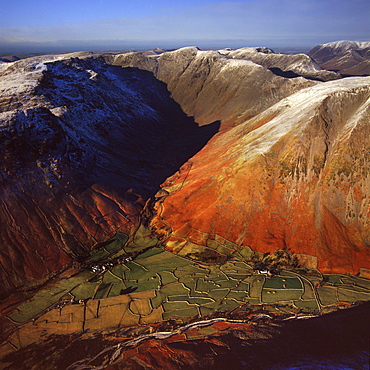
Aerial image of Wasdale Head, with St. Olaf's church, the smallest church in England, Brackenclose, Wasdale Fell, Kirk Fell, High Fell and Mosedale, Lake District National Park, Cumbria, England, United Kingdom, Europe
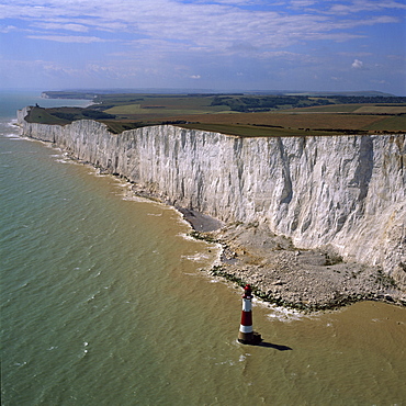
Aerial image of chalk cliffs and lighthouse, Beachy Head, near Eastbourne, East Sussex, England, United Kingdom, Europe


