Results
« Previous 1 2 3 4 … 78 Next »
7783 results found
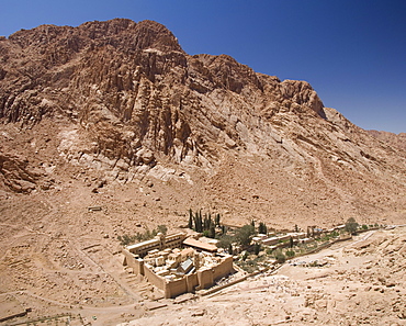
St. Catherine's Monastery, UNESCO World Heritage Site, with shoulder of Mount Sinai behind, Sinai Peninsula Desert, Egypt, North Africa, Africa
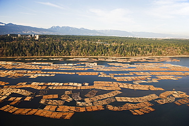
Aerial view of cut logs in the sea waiting to be transported, Vancouver, British Columbia, Canada, North America
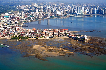
Aerial view of city showing the old town of Casco Viejo also known as San Felipe and Panama Bay, Panama City, Panama, Central America
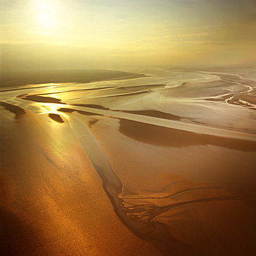
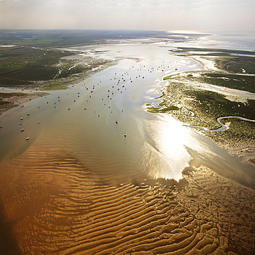
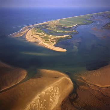
Aerial image of mudflats at sunset, Solway Firth, border between Cumbria in England and Dumfries and Galloway in Scotland, United Kingdom, Europe
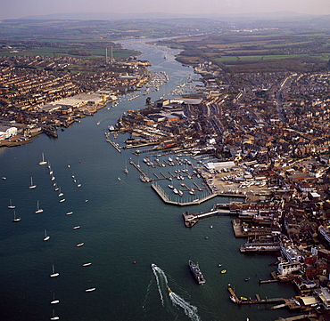
Aerial image of Cowes, on the west bank of the estuary of the River Medina facing the smaller town of East Cowes on the east bank, Isle of Wight., England, United Kingdom, Europe
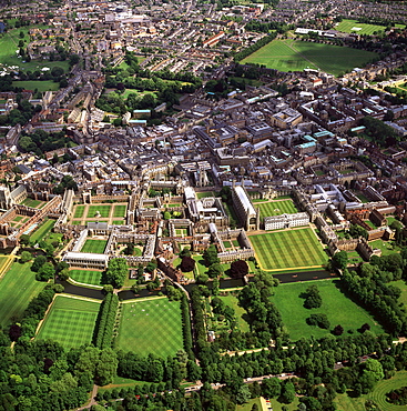
Aerial view of Cambridge including The Backs where several University of Cambridge colleges back on to the River Cam, Cambridge, Cambridgeshire, England, United Kingdom, Europe
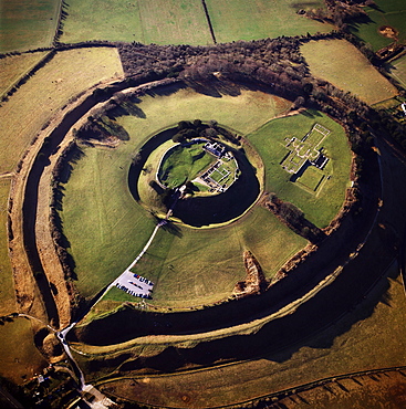
Aerial image of Old Sarum, the original site of Salisbury with castle ruins and cathedral foundations inside two high Iron Age banks (earthworks), Wiltshire, England, United Kingdom, Europe
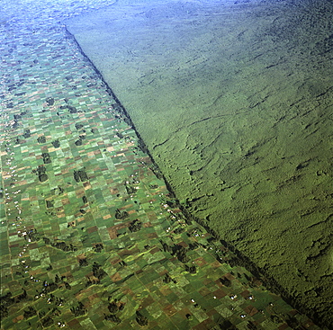
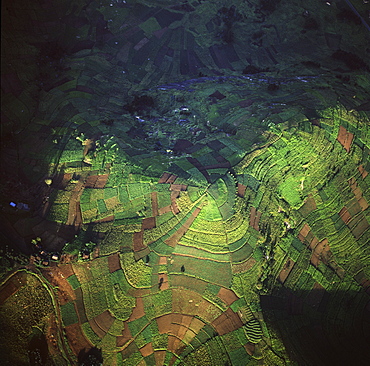
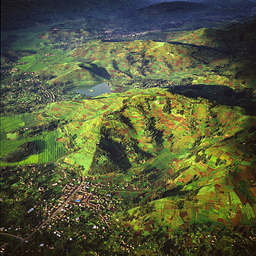
Aerial view of of Virunga National Park (Parc National des Volcans) showing the boundary of the park and agricultural land, Virunga Volcanoes, Rwanda, Africa

Aerial view of Peterborough Cathedral and city, Peterborough, Cambridgeshire, England, United Kingdom, Europe
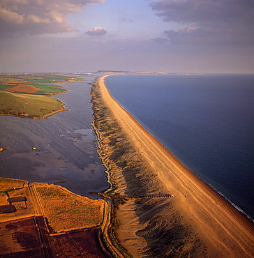
Aerial image of Chesil Beach (Chesil Bank), 29 km long shingle beach, a tombolo connecting mainland to the Isle of Portland, Jurassic Coast, UNESCO World Heritage Site, Dorset, England, United Kingdom, Europe
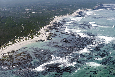
Aerial photography of ocean and kelp beds at Walker Bay, near Hermanus, Western Cape, South Africa, Africa
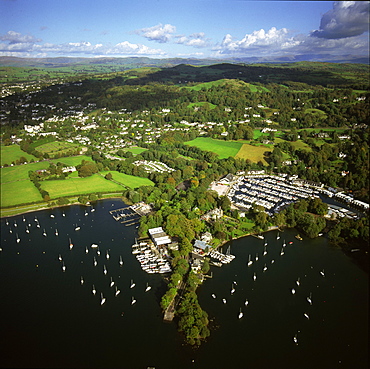
Aerial image of Bowness-on-Windermere, Lake Windermere, Lake District National Park, Cumbria, England, United Kingdom, Europe
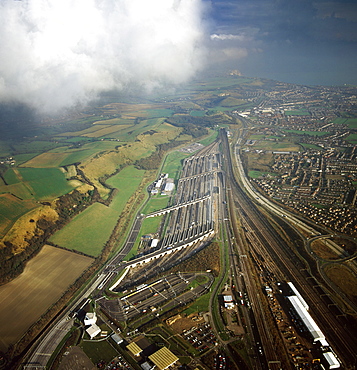
Aerial image of entrance to The Channel Tunnel (Chunnel) (Eurotunnel), beneath the English Channel, Kent, England, United Kingdom, Europe
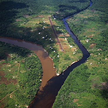
Aerial image of Kamarang Mouth Station and airstrip at the confluence of the unpolluted Kamarang River with the mined and heavily polluted Upper Mazaruni River in March 2005, Guyana, South America
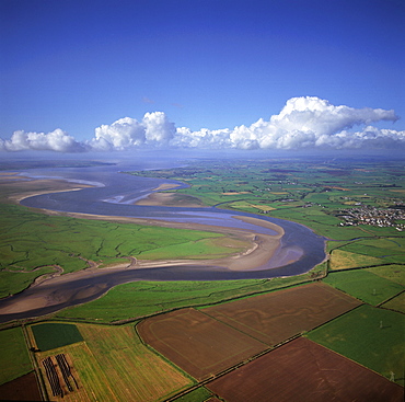
Aerial image of the River Esk flowing into Solway Firth, near Gretna Green, border between Cumbria in England and Dumfries and Galloway in Scotland, United Kingdom, Europe
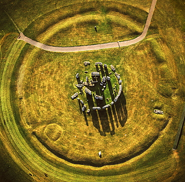
Aerial image of Stonehenge, prehistoric monument and stone circle, UNESCO World Heritage Site, Salisbury Plain, Wiltshire, England, United Kingdom, Europe
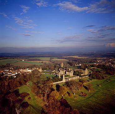
Aerial image of Battle Abbey (St. Martin's Abbey), built on the scene of the Battle of Hastings and dedicated to St. Martin, Battle, East Sussex, England, United Kingdom, Europe
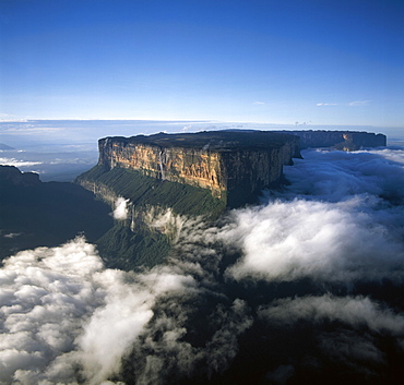
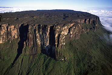
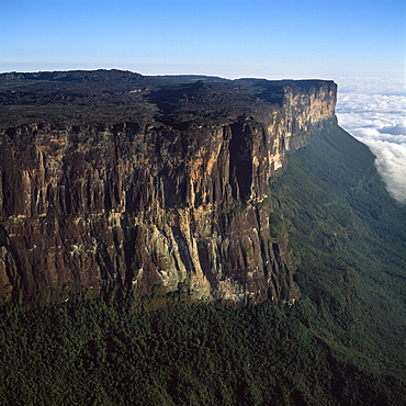
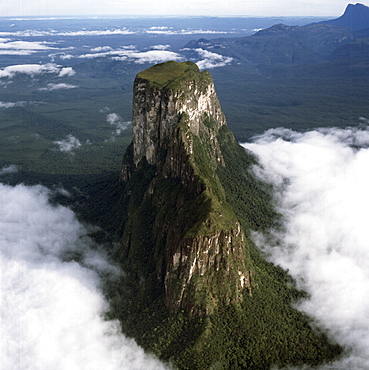
Aerial image of tepuis showing Mount Roraima (Cerro Roraima) from the north, Venezuela, South America
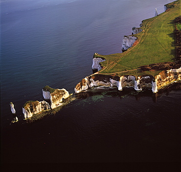
Aerial image of Old Harry Rocks, chalk stacks located directly east of Studland, north of Swanage, Dorset, England, United Kingdom, Europe
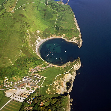
Aerial image of Lulworth Cove, a natural landform harbour, near West Lulworth, on the Jurassic Coast, UNESCO World Heritage Site, Dorset, England, United Kingdom, Europe
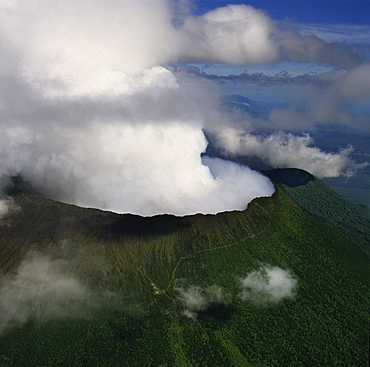
Aerial view of Mount Nyiragongo, an active volcano in the Virunga Mountains in Virunga National Park, near the border with Rwanda, known for its recent devastating eruptions, Democratic Republic of the Congo, Great Rift Valley, Africa
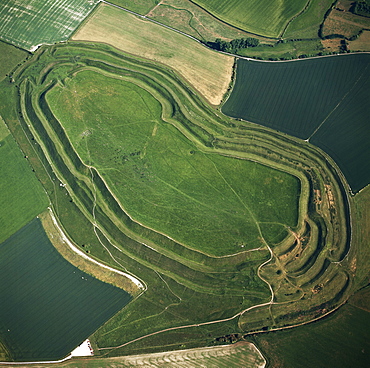
Aerial image of Maiden Castle, an Iron Age hill fort, Winterborne Monkton, near Dorchester, Dorset, England, United Kingdom, Europe
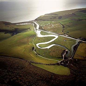
Aerial image of the Cuckmere River at Cuckmere Haven, Seven Sisters Country Park, East Sussex, England, United Kingdom, Europe
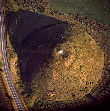
Aerial image of Silbury Hill, a prehistoric human-made chalk and clay mound near Avebury, UNESCO World Heritage Site, Wiltshire, England, United Kingdom, Europe
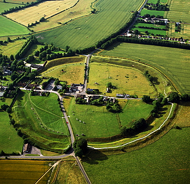
Aerial image of Avebury, Neolithic Monument, site of a large henge and several stone circles, UNESCO World Heritage Site, Wiltshire, England, United Kingdom, Europe
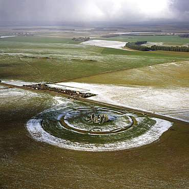
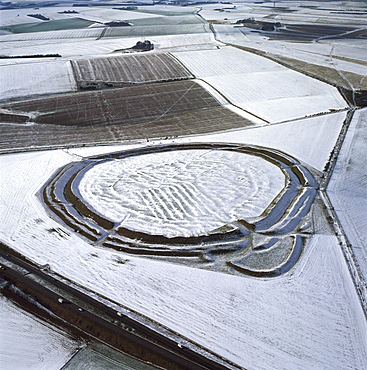
Aerial image of Stonehenge, prehistoric monument and stone circle in snow, UNESCO World Heritage Site, Salisbury Plain, Wiltshire, England, United Kingdom, Europe
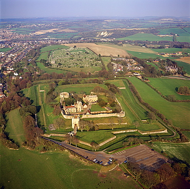
Aerial image of Carisbrooke Castle, a historic motte-and-bailey castle, Carisbrooke, near Newport, Isle of Wight, England, United Kingdom, Europe
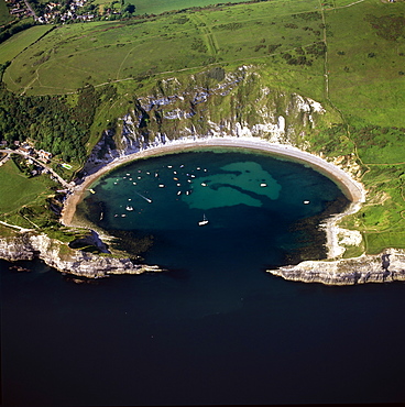
Aerial image of Lulworth Cove, a natural landform harbour, near West Lulworth, on the Jurassic Coast, UNESCO World Heritage Site, Dorset, England, United Kingdom, Europe
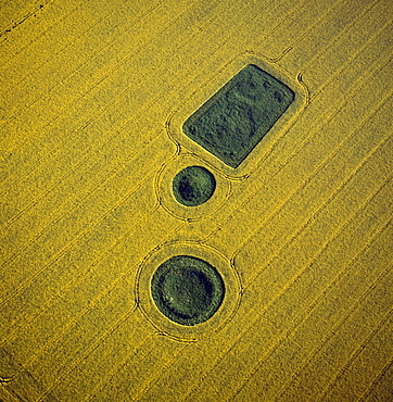
Aerial image of round and square Barrows at North Down in rape field, near Calstone Wellington, Wiltshire, England, United Kingdom, Europe
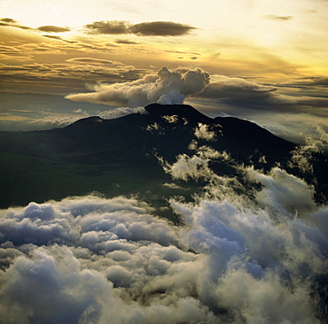
Aerial view of Mount Nyiragongo, an active volcano in the Virunga Mountains in Virunga National Park, near the border with Rwanda, known for its recent devastating eruptions, Democratic Republic of the Congo, Great Rift Valley, Africa
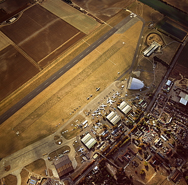
Aerial view of Duxford Aerodrome, now Imperial War Museum Duxford and the American Air Museum, Cambridgeshire, England, United Kingdom, Europe

Aerial image of Castlerigg Stone Circle, a prehistoric monument in snow, near Keswick, Lake District National Park, Cumbria, England, United Kingdom, Europe
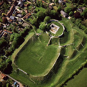
Aerial view of Castle Acre, remains of a motte and bailey castle with extensive earthworks, Castle Acre, Norfolk, England, United Kingdom, Europe
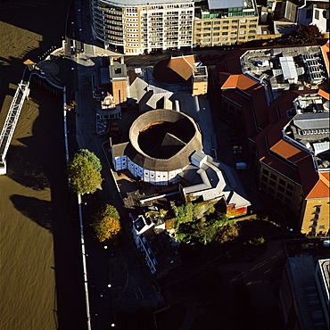
Aerial image of the Globe Theatre (Shakespeare's Globe) and the River Thames, London, England, United Kingdom, Europe
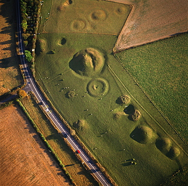
Aerial image of Winterbourne Poor Lot Round Barrows, Winterbourne Abbas, Dorset, England, United Kingdom, Europe
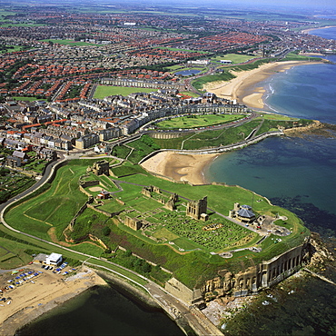
Aerial image of Tynemouth Priory and Castle, on a rocky headland known as Pen Bal Crag, Tyne and Wear, England, United Kingdom, Europe
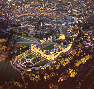
Aerial image of Windsor Castle, the largest inhabited castle in the world, Windsor, Berkshire, England, United Kingdom, Europe
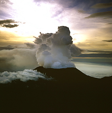
Aerial view of Mount Nyiragongo, an active volcano in the Virunga Mountains in Virunga National Park, near the border with Rwanda, known for its recent devastating eruptions, Democratic Republic of the Congo, Great Rift Valley, Africa
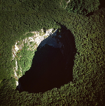
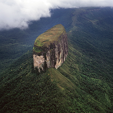
Aerial image of Sarisarinama Sinkhole, Jaua-Sarisarinama National Park, Tepuis, Bolivar State, Venezuela, South America
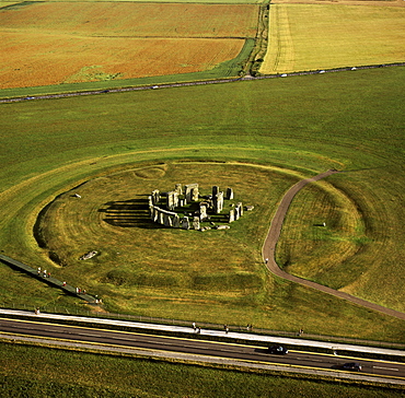
Aerial image of Stonehenge, prehistoric monument and stone circle, UNESCO World Heritage Site, Salisbury Plain, Wiltshire, England, United Kingdom, Europe
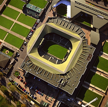
Aerial image of Centre Court, All-England Club (All England Lawn Tennis and Croquet Club), Wimbledon, London, England, United Kingdom, Europe
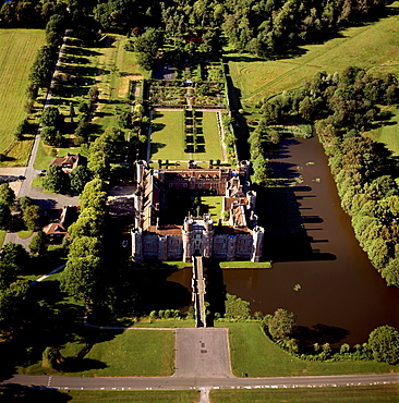
Aerial image of Herstmonceux Castle, a brick-built Tudor castle near Herstmonceux, East Sussex, England, United Kingdom, Europe
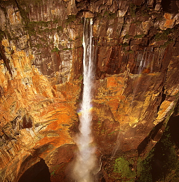
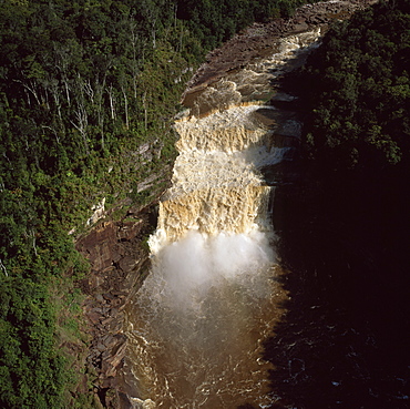
Aerial image of Angel Falls and Mount Auyantepui (Auyantepuy) (Devil's Mountain), Tepuis, Venezuela, South America
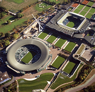
Aerial image of Centre Court and Number 1 Court, All-England Club (All England Lawn Tennis and Croquet Club), Wimbledon, London, England, United Kingdom, Europe
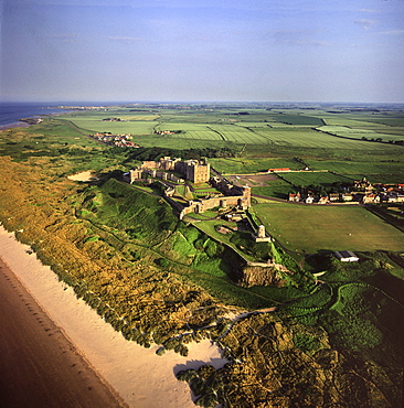
Aerial image of Bamburgh Castle, a Norman castle built on a basalt outcrop on the coast, Bamburgh, Northumberland, England, United Kingdom, Europe
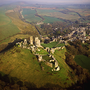
Aerial image of Corfe Castle, Purbeck Hills, between Wareham and Swanage, Dorset, England, United Kingdom, Europe
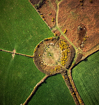
Aerial image of Boscawen-Un Stone Circle, with gorse flowers, St. Buryan, Cornwall, England, United Kingdom, Europe
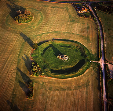
Aerial image of Knowlton Henge, a Neolithic henge monument, and Knowlton Church, a ruined Norman church, Dorset, England, United Kingdom, Europe
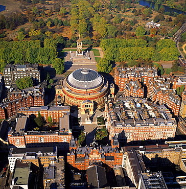
Aerial image of the Royal Albert Hall, and the Albert Memorial in Kensington Gardens, London, England, United Kingdom, Europe
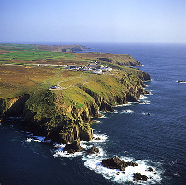
Aerial image of Land's End, a headland on the Penwith peninsula, most westerly point of the English mainland, Cornwall, England, United Kingdom, Europe

Aerial view of Mount Karisimbi, a dormant volcano in the Virunga Mountains on the border between Rwanda and the Democratic Republic of Congo (DRC), flanked by Mount Mikeno to the north, Mount Bisoke to the east and Mount Nyiragongo to the west, Great Rift Valley, Africa
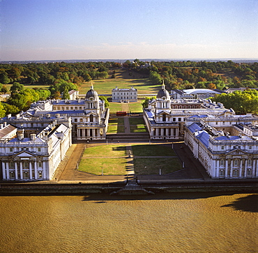
Aerial image of the Royal Naval College and Queen's House, on the south bank of the River Thames, UNESCO World Heritage Site, with the Royal Observatory in the background, Greenwich, London, England, United Kingdom, Europe
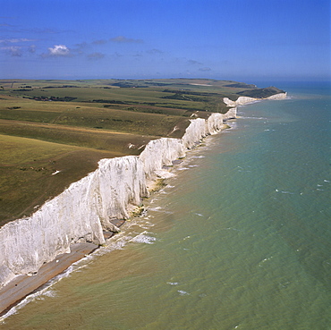
Aerial image of the chalk cliffs of the Seven Sisters, with Belle Tout lighthouse and Beachy Head in the distance, East Sussex, England, United Kingdom, Europe
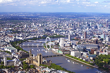
Aerial view of the Houses of Parliament, Westminster Abbey, London Eye and River Thames, London, England, United Kingdom, Europe
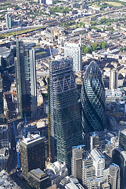
Aerial view of the Gherkin and Leadenhall Building (Cheese-grater), City of London, London, England, United Kingdom, Europe
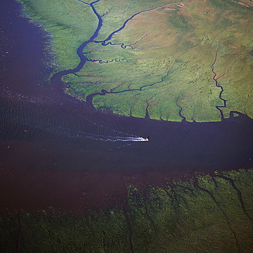
Aerial view of the mouth of Great Ouse River entering The Wash, King's Lynn, Norfolk, England, United Kingdom, Europe
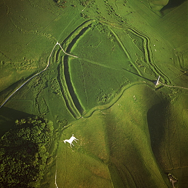
Aerial image of Oldbury Camp Hill Fort with Cherhill White Horse, Cherhill Down, Calne, Wiltshire, England, United Kingdom, Europe
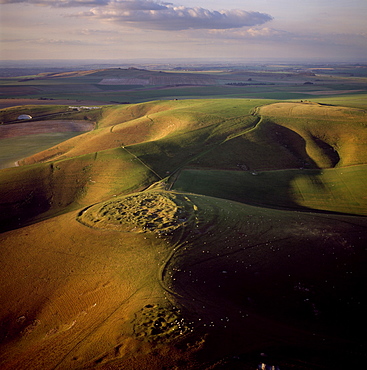
Aerial image of Rybury Camp, an Iron Age hill fort with Neolithic causewayed enclosure, Wiltshire, England, United Kingdom, Europe
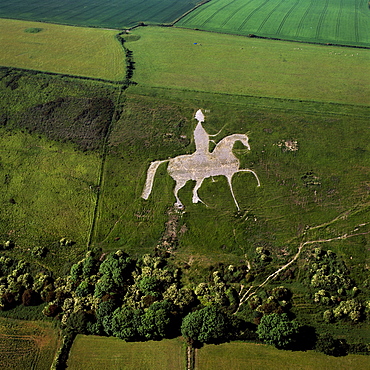
Aerial view of Osmington White Horse, Cherhill Downs, Osmington, Dorset, England, United Kingdom, Europe
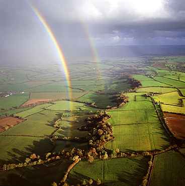
Aerial image of a double rainbow over the Somerset Levels, Somerset, England, United Kingdom, Europe
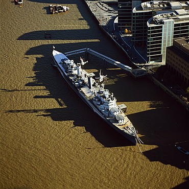
Aerial image of HMS Belfast, a Royal Navy Town-class cruiser, on the River Thames, London, England, United Kingdom, Europe
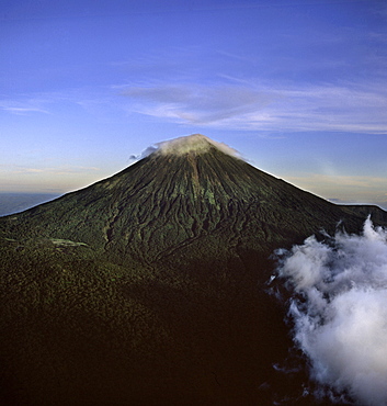
Aerial view of Mount Karisimbi, a dormant volcano in the Virunga Mountains on the border between Rwanda and the Democratic Republic of Congo (DRC), at 4507m the highest of the mountain range, Great Rift Valley, Africa
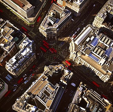
Aerial image of Oxford Circus, a busy intersection of Regent Street and Oxford Street, in the City of Westminster, London, England, United Kingdom, Europe
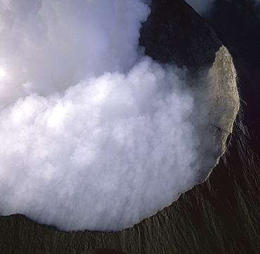
Aerial view of Mount Nyiragongo, an active volcano in the Virunga Mountains in Virunga National Park, near the border with Rwanda, known for its recent devastating eruptions, Democratic Republic of the Congo, Great Rift Valley, Africa
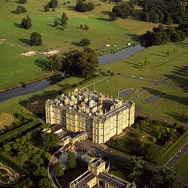
Aerial image of Longleat, an English country house, Horningsham, near Warminster, Wiltshire, England, United Kingdom, Europe
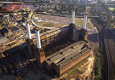
Aerial image of Battersea Power Station, an unused coal-fired power station on the south bank of the River Thames, Battersea, London, England, United Kingdom, Europe
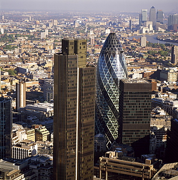
Aerial view of Tower 42, Gherkin (30 St. Mary Axe) (Swiss Re Building) and St. Helen's (Aviva Tower), City of London, London, England, United Kingdom, Europe
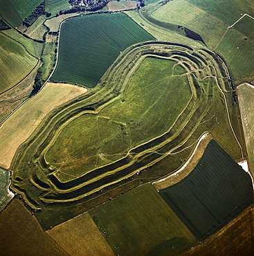
Aerial image of Maiden Castle, an Iron Age hill fort, Winterborne Monkton, near Dorchester, Dorset, England, United Kingdom, Europe
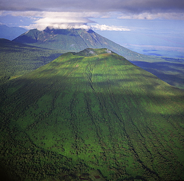
Aerial view of Mount Visoke (Mount Bisoke), an extinct volcano, straddling border of Rwanda and the Democratic Republic of the Congo. with Mount Mikeno in background, Virunga Volcanoes, Great Rift Valley, Africa
