Results
« Previous 1 2
123 results found

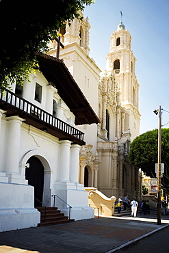
Bell tower, San Miguel de Velasco Mission, Jesuit Missions of Chiquitos, UNESCO World Heritage Site, Santa Cruz department, Bolivia, South America
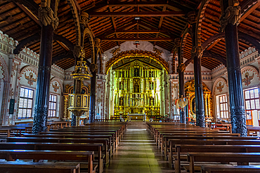
Interior of the San Ignacio de Velasco Mission, Jesuit Missions of Chiquitos, Santa Cruz department, Bolivia, South America
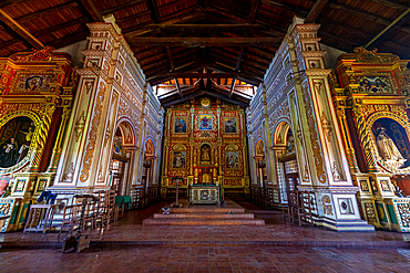
Interior of the Mission of Concepcion, Jesuit Missions of Chiquitos, UNESCO World Heritage Site, Santa Cruz department, Bolivia, South America
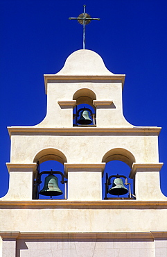
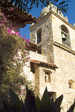
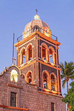
Belfry of Spanish Mission style church, Paso Robles, California, United States of America, North America
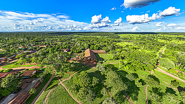
Aerial of the Santa Ana Mission, Jesuit Missions of Chiquitos, UNESCO World Heritage Site, Santa Cruz department, Bolivia, South America
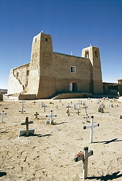
16th century Mission San Estevan del Rey, Acoma Pueblo, New Mexico, United States of America (U.S.A.), North America

San Miguel de Socorro Mission, dates back to 1598, Socorro, New Mexico, United States of America, North America
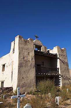
Our Lady of Guadalupe (Old Zuni) Mission, established in 1629, Zuni Pueblo, New Mexico, United States of America, North America
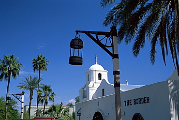
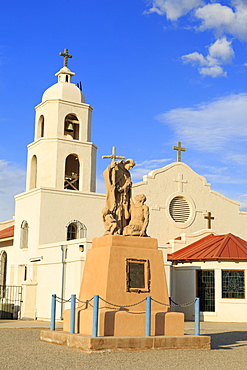
Mission church of Our Lady of Perpetual Help, Scottsdale, Phoenix, Arizona, United States of America, North America
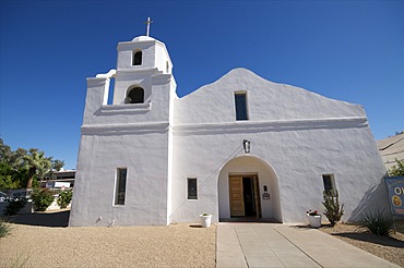
Our Lady of Perpetual Help Mission Church, Scottsdale, near Phoenix, Arizona, United States of America, North America
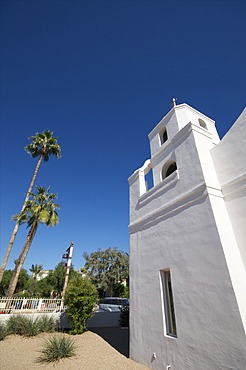
Our Lady of Perpetual Help Mission Church, Scottsdale, near Phoenix, Arizona, United States of America, North America
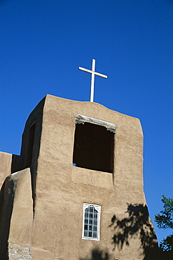
San Miguel chapel detail, mission church built by Thalcala Indians, rebuilt 1710, among oldest mission churches in America, Santa Fe, New Mexico, United States of America (U.S.A.), North America
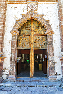
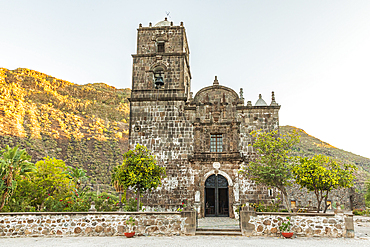
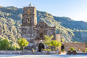
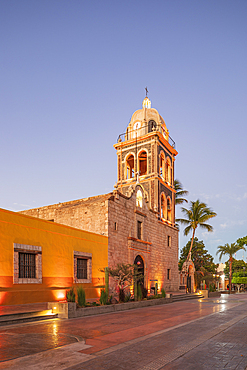
San Ignacio, Mulege, Baja California Sur, Mexico. November 14, 2021. Entrance to the San Ignacio Mission in Baja.

San Ignacio, Mulege, Baja California Sur, Mexico. Sculpture of a priest on the San Ignacio Mission in Baja.
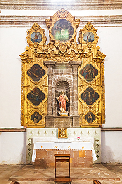
San Ignacio, Mulege, Baja California Sur, Mexico. November 14, 2021. Altar in the San Ignacio Mission in Baja.
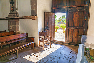
San Ignacio, Mulege, Baja California Sur, Mexico. November 14, 2021. Chair holding open the door to the chapel in the San Ignacio Mission.
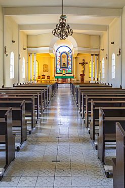
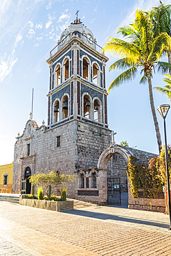
Todos Santos, Baja California Sur, Mexico. November 11, 2021. Chapel of the Iglesia Mission Church in Todos Santos.
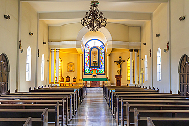
Todos Santos, Baja California Sur, Mexico. November 11, 2021. Chapel of the Iglesia Mission Church in Todos Santos.
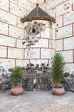
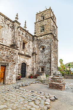
San Ignacio, Mulege, Baja California Sur, Mexico. Potted plants in a courtyard at the San Ignacio Mission.

Loreto, Baja California Sur, Mexico. November 17, 2021. Sculpture of Jesus in the historic Loreto Mission.

Guadaloupe, La Paz, Baja California Sur, Mexico. November 13, 2021. A Catholic shrine along a desert highway in Baja.

San Javier, Loreto, Baja California Sur, Mexico. Statue of Our Lady of Guadalupe in the San Francisco Mission in San Javier.

Loreto, Baja California Sur, Mexico. November 17, 2021. Sculpture of an angel in the historic Loreto Mission.
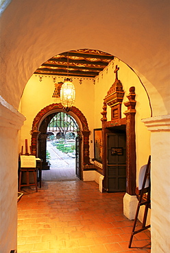
Serra's church, Mission San Juan Capistrano, Orange County, California, United States of America, North America

The buildings of the catholic mission under palm trees, Waikiri, Island of Taveuni, Fiji, South Seas, Oceania
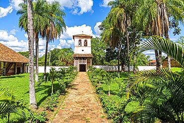
Bell tower, San Miguel de Velasco mission, Unesco site Jesuit Missions of Chiquitos, Bolivia, South America
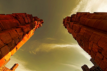
Ruins of the Jesuit mission at San Ignacio mini, church gate, Misiones Province, Argentina, South America
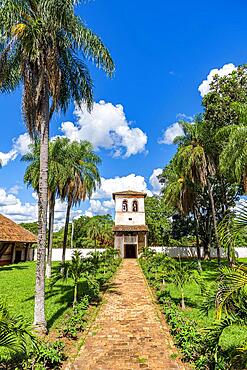
Bell tower, San Miguel de Velasco mission, Unesco site Jesuit Missions of Chiquitos, Bolivia, South America
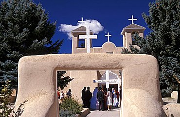
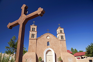
San Francisco de Asis mission church, Ranchos de Taos, New Mexico, United States of America, North America
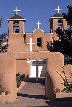
The Church of St. Francis of Assisi at Ranchos de Taos, New Mexico.Built in 1772 after the initial mission-building phase in New Mexico.
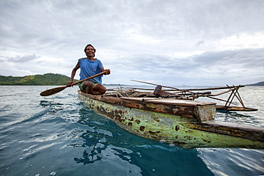
Nimoa Island - here the island mission will impress. The five-sided church features murals of island life and all mission buildings are surrounded by well maintained paths and gardens filled with flowering plants. Edged by jungle-covered mountains, postcard beaches and crystal clear waters - an island paradise indeed! The Louisiade Archipelago is a string of ten larger volcanic islands frequently fringed by coral reefs, and 90 smaller coral islands located 200 km southeast of New Guinea, stretching over more than 160 km and spread over an ocean area of 26,000 km? between the Solomon Sea to the north and the Coral Sea to the south. The aggregate land area of the islands is about 1,790 km? (690 square miles), with Vanatinai (formerly Sudest or Tagula as named by European claimants on Western maps) being the largest. Sideia Island and Basilaki Island lie closest to New Guinea, while Misima, Vanatinai, and Rossel islands lie further east. The archipelago is divided into the Local Level Government (LLG) areas Loui!
Nimoa Island - here the island mission will impress. The five-sided church features murals of island life and all mission buildings are surrounded by well maintained paths and gardens filled with flowering plants. Edged by jungle-covered mountains, postcard beaches and crystal clear waters - an island paradise indeed! The Louisiade Archipelago is a string of ten larger volcanic islands frequently fringed by coral reefs, and 90 smaller coral islands located 200 km southeast of New Guinea, stretching over more than 160 km and spread over an ocean area of 26,000 km? between the Solomon Sea to the north and the Coral Sea to the south. The aggregate land area of the islands is about 1,790 km? (690 square miles), with Vanatinai (formerly Sudest or Tagula as named by European claimants on Western maps) being the largest. Sideia Island and Basilaki Island lie closest to New Guinea, while Misima, Vanatinai, and Rossel islands lie further east. The archipelago is divided into the Local Level Government (LLG) areas Loui!

Nimoa Island - here the island mission will impress. The five-sided church features murals of island life and all mission buildings are surrounded by well maintained paths and gardens filled with flowering plants. Edged by jungle-covered mountains, postcard beaches and crystal clear waters - an island paradise indeed! The Louisiade Archipelago is a string of ten larger volcanic islands frequently fringed by coral reefs, and 90 smaller coral islands located 200 km southeast of New Guinea, stretching over more than 160 km and spread over an ocean area of 26,000 km? between the Solomon Sea to the north and the Coral Sea to the south. The aggregate land area of the islands is about 1,790 km? (690 square miles), with Vanatinai (formerly Sudest or Tagula as named by European claimants on Western maps) being the largest. Sideia Island and Basilaki Island lie closest to New Guinea, while Misima, Vanatinai, and Rossel islands lie further east. The archipelago is divided into the Local Level Government (LLG) areas Louisiade Rural (western part, with Misima), and Yaleyamba (western part, with Rossell and Tagula islands. The LLG areas are part of Samarai-Murua District district of Milne Bay. The seat of the Louisiade Rural LLG is Bwagaoia on Misima Island, the population center of the archipelago.
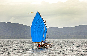
Nimoa Island - here the island mission will impress. The five-sided church features murals of island life and all mission buildings are surrounded by well maintained paths and gardens filled with flowering plants. Edged by jungle-covered mountains, postcard beaches and crystal clear waters - an island paradise indeed! The Louisiade Archipelago is a string of ten larger volcanic islands frequently fringed by coral reefs, and 90 smaller coral islands located 200 km southeast of New Guinea, stretching over more than 160 km and spread over an ocean area of 26,000 km? between the Solomon Sea to the north and the Coral Sea to the south. The aggregate land area of the islands is about 1,790 km? (690 square miles), with Vanatinai (formerly Sudest or Tagula as named by European claimants on Western maps) being the largest. Sideia Island and Basilaki Island lie closest to New Guinea, while Misima, Vanatinai, and Rossel islands lie further east.

Nimoa Island - here the island mission will impress. The five-sided church features murals of island life and all mission buildings are surrounded by well maintained paths and gardens filled with flowering plants. Edged by jungle-covered mountains, postcard beaches and crystal clear waters - an island paradise indeed! The Louisiade Archipelago is a string of ten larger volcanic islands frequently fringed by coral reefs, and 90 smaller coral islands located 200 km southeast of New Guinea, stretching over more than 160 km and spread over an ocean area of 26,000 km? between the Solomon Sea to the north and the Coral Sea to the south. The aggregate land area of the islands is about 1,790 km? (690 square miles), with Vanatinai (formerly Sudest or Tagula as named by European claimants on Western maps) being the largest. Sideia Island and Basilaki Island lie closest to New Guinea, while Misima, Vanatinai, and Rossel islands lie further east. The archipelago is divided into the Local Level Government (LLG) areas Louisiade Rural (western part, with Misima), and Yaleyamba (western part, with Rossell and Tagula islands. The LLG areas are part of Samarai-Murua District district of Milne Bay. The seat of the Louisiade Rural LLG is Bwagaoia on Misima Island, the population center of the archipelago.
