Results
« Previous 1 2
158 results found
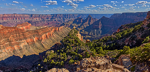
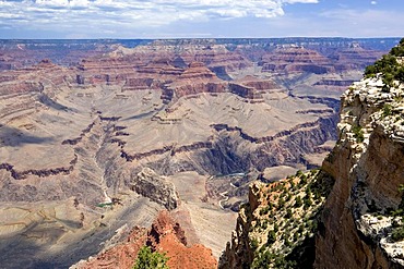
South Rim in the distance viewed from Cape Final on the North Rim with Freya's Castle just right of center, Grand Canyon National Park, UNESCO World Heritage Site, Arizona, United States of America, North America
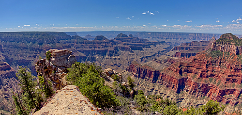
View of Grand Canyon from Bright Angel Point on the North Rim, with Brahma and Zoroaster Temples visible in the distance an Oza Butte on far right, Grand Canyon National Park, UNESCO World Heritage Site, Arizona, United States of America, North America
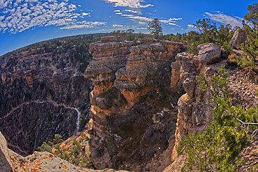
An outcrop of rock overlooking the Bright Angel Trail below at Grand Canyon South Rim off Hermit Road, Grand Canyon, UNESCO World Heritage Site, Arizona, United States of America, North America
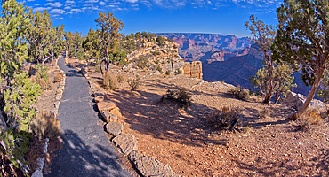
The paved rim trail along the cliffs of Grand Canyon South Rim between the Trailview Overlook East Vista and the West Vista, Grand Canyon, UNESCO World Heritage Site, Arizona, United States of America, North America
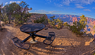
A metal picnic table along the rim trail overlooking Grand Canyon South Rim off of Hermit Road just west of Hopi Point, Grand Canyon, UNESCO World Heritage Site, Arizona, United States of America, North America
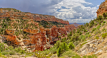
Grand Canyon North Rim from the end of the Cliff Spring Trail near Cape Royal, Arizona, United States of America, North America
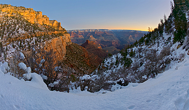
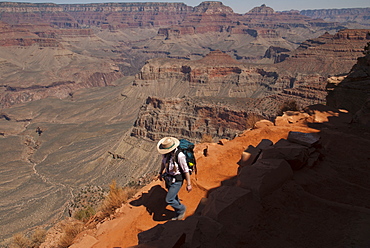
A winter dawn view of Grand Canyon from Bright Angel Trail on the South Rim, Grand Canyon National Park, UNESCO World Heritage Site, Arizona, United States of America, North America
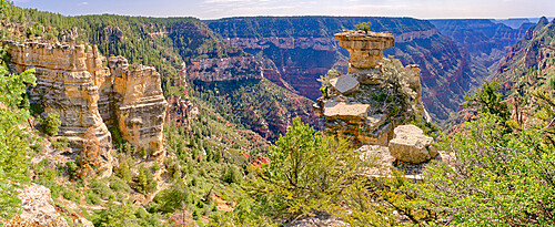
Tabletop Rock on the cliffs of the Transept Canyon at Grand Canyon North Rim along the Widforss Trail, UNESCO World Heritage Site, Arizona, United States of America, North America
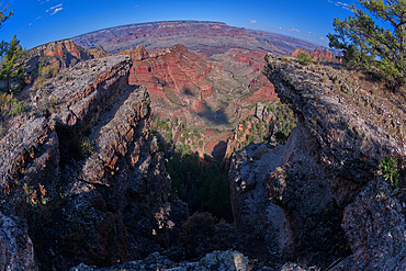
Fisheye view of a dry waterfall where the Hance Creek drains into Hance Canyon at Grand Canyon South Rim, Grand Canyon National Park, UNESCO World Heritage Site, Arizona, United States of America, North America
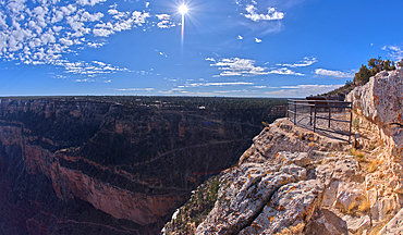
The Trailview Overlook East Vista at Grand Canyon South Rim, just off Hermit Road, Grand Canyon, UNESCO World Heritage Site, Arizona, United States of America, North America
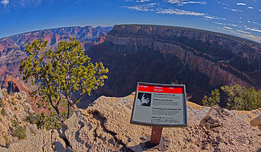
A sign in different languages warning of a dangerous cliff at the West Vista of the Trailview Overlook along the Hermit Road rim trail, Grand Canyon, UNESCO World Heritage Site, Arizona, United States of America, North America

View of Shoshone Point on the south rim of the Grand Canyon from the west side of the point, Grand Canyon National Park, UNESCO World Heritage Site, Arizona, United States of America, North America
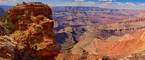
Northern view of the Grand Canyon from Papago Point on the south rim, the rock on the left is Hollenback Point, Grand Canyon National Park, UNESCO World Heritage Site, Arizona, United States of America, North America
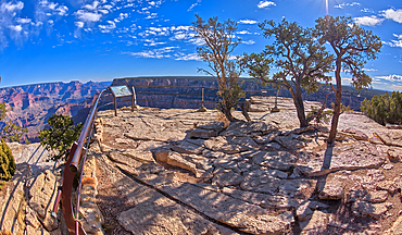
The Trailview Overlook West Vista at Grand Canyon South Rim, just off Hermit Road, Grand Canyon, UNESCO World Heritage Site, Arizona, United States of America, North America
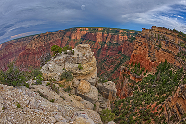
A rocky peninsula off the cliffs of Grandview Point at Grand Canyon South Rim, Grand Canyon National Park, UNESCO World Heritage Site, Arizona, United States of America, North America

Snowy cliffs of the rim lit by weak winter's late afternoon sun, Bryce Point, Bryce Canyon National Park, Utah, United States of America, North America
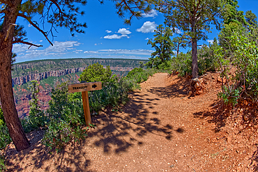
The Transept Trail sign where it branches off from the Bright Angel Point Trail on the North Rim of Grand Canyon, Grand Canyon National Park, UNESCO World Heritage Site, Arizona, United States of America, North America
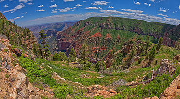
Point Imperial in Grand Canyon North Rim viewed from the summit of Saddle Mountain, Grand Canyon National Park, UNESCO World Heritage Site, Arizona, United States of America, North America
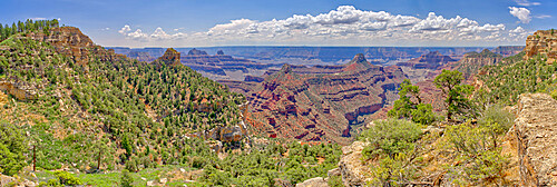
Panorama view of Grand Canyon from Widforss Point on the North Rim, UNESCO World Heritage Site, Arizona, United States of America, North America
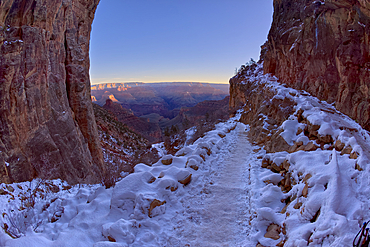
A winter sunrise view of Grand Canyon Arizona from Bright Angel Trail on the South Rim just past the second tunnel, Grand Canyon National Park, UNESCO World Heritage Site, Arizona, United States of America, North America
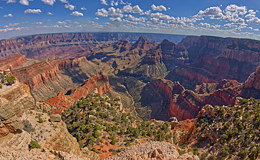
View of Grand Canyon from the south cliffs of Cape Final on the North Rim with Unkar Creek below and right of centre the pointed peak of Freya's Castle, Grand Canyon National Park, UNESCO World Heritage Site, Arizona, United States of America, North America
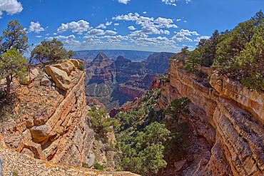
A narrow canyon along the south cliffs of Cape Final on the North Rim, with the pointed peak of Freya's Castle in the distance, Grand Canyon, Arizona, United States of America, North America
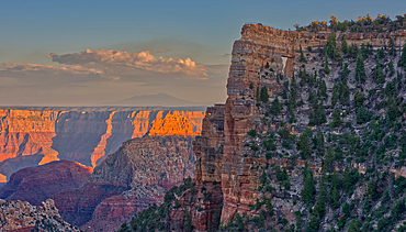
Closeup of Angel's Window at Cape Royal on North Rim above Unker Creek near sundown, with brown haze on the horizon smoke from a wildfire near the park, Grand Canyon National Park, UNESCO World Heritage Site, Arizona, United States of America, North America
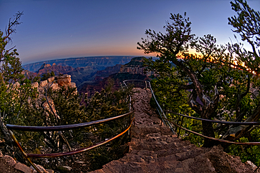
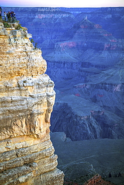
An overlook along the Transept Trail at Grand Canyon North Rim at twilight, Grand Canyon National Park, UNESCO World Heritage Site, Arizona, United States of America, North America
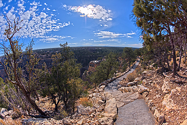
The paved rim trail along the cliffs of Grand Canyon South Rim between the village and Trailview Overlook Vista, Grand Canyon, UNESCO World Heritage Site, Arizona, United States of America, North America

Angel's Window at Cape Royal on North Rim above Unker Creek near sundown, with smoke from a wildfire creating brown haze on the horizon, Gand Canyon National Park, UNESCO World Heritage Site, Arizona, United States of America, North America
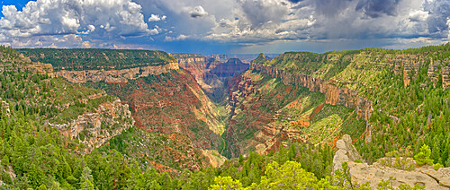
The head of the Transept Canyon at Grand Canyon North Rim along the Widforss Trail, UNESCO World Heritage Site, Arizona, United States of America, North America
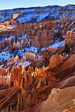
Hoodoos and snowy rim cliffs lit by strong late afternoon sun in winter, near Sunrise Point, Bryce Canyon National Park, Utah, United States of America, North America
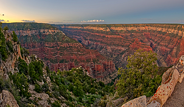
Uncle Jim Point viewed from Bright Angel Point on the North Rim of Grand Canyon at twilight, Grand Canyon National Park, UNESCO World Heritage Site, Arizona, United States of America, North America
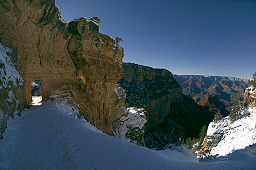
The first tunnel along Bright Angel Trail in winter under Moonlight on the South Rim of Grand Canyon, Grand Canyon National Park, UNESCO World Heritage Site, Arizona, United States of America, North America
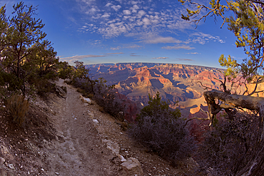
A dirt section of the rim trail between Hopi Point and Mohave Point, Grand Canyon, UNESCO World Heritage Site, Arizona, United States of America, North America
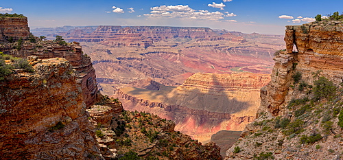
Grand Canyon view with a rock window beneath a cliff on the right, located west of Pinal Point on the south rim, Grand Canyon National Park, UNESCO World Heritage Site, Arizona, United States of America, North America
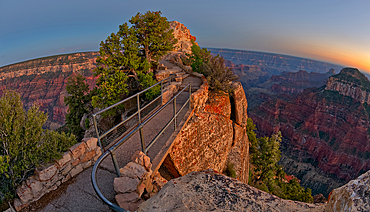
Bright Angel Point Bridge on Grand Canyon North Rim at twilight, Grand Canyon National Park, UNESCO World Heritage Site, Arizona, United States of America, North America
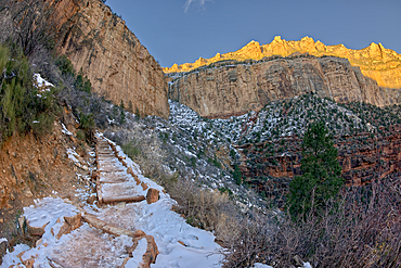
The cliffs of Bright Angel Canyon along the Bright Angel Trail in winter at sunrise on the South Rim of Grand Canyon, Grand Canyon National Park, UNESCO World Heritage Site, Arizona, United States of America, North America
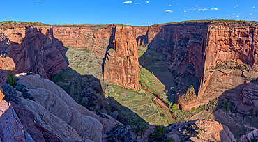
East view of Canyon De Chelly National Monument North Rim from Antelope House Overlook, left fork leads to Many Cherry Canyon, right fork to Black Rock Canyon, Arizona, United States of America, North America
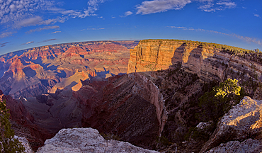
Hopi Point in the distance viewed from the rim trail near Mohave Point, Grand Canyon, UNESCO World Heritage Site, Arizona, United States of America, North America

Jupiter Temple, a ridge on the east side of the North Rim, viewed from Cape Final, Grand Canyon National Park, UNESCO World Heritage Site, Arizona, United States of America, North America
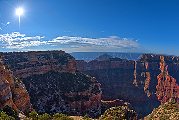
Grand Canyon viewed from the cliffs of Walhalla Glades on the North Rim, with Cape Royal on left, Vishnu Temple in the center, and Wotan's Throne on right, Grand Canyon National Park, UNESCO World Heritage Site, Arizona, United States of America, North America
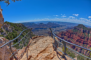
An overlook along the Transept Trail with Oza Butte on the right at Grand Canyon North Rim, Grand Canyon National Park, UNESCO World Heritage Site, Arizona, United States of America, North America
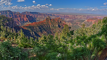
View of Brady Peak from the Vista Encantada Picnic area on Grand Canyon North Rim, Grand Canyon National Park, UNESCO World Heritage Site, Arizona, United States of America, North America
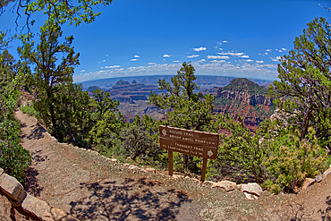
The Transept Trail sign where it branches off from the Bright Angel Point Trail on the North Rim of Grand Canyon, Grand Canyon National Park, UNESCO World Heritage Site, Arizona, United States of America, North America
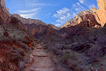
The cliffs of Bright Angel Canyon along the Bright Angel Trail in winter near midday on the South Rim of Grand Canyon, Grand Canyon National Park, UNESCO World Heritage Site, Arizona, United States of America, North America

The paved rim trail along the cliffs of Grand Canyon South Rim between the village and Trailview Overlook Vista, Grand Canyon, UNESCO World Heritage Site, Arizona, United States of America, North America
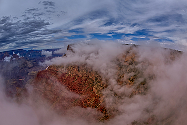
Zuni Point at Grand Canyon South Rim in the clouds viewed from Moran Point, Grand Canyon National Park, UNESCO World Heritage Site, Arizona, United States of America, North America
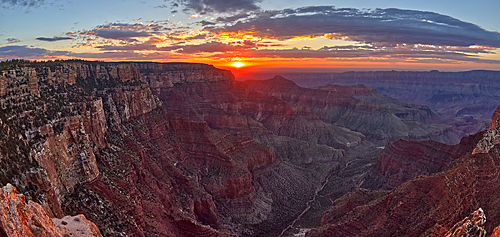
The sun rising at Grand Canyon North Rim, viewed from the Angels Window Overlook at Cape Royal, Grand Canyon National Park, UNESCO World Heritage Site, Arizona, United States of America, North America

View of Freya's Castle and Vishnu Temple on the left and Wotan's Throne on the right at sunrise viewed from Cape Royal, North Rim, Grand Canyon National Park, UNESCO World Heritage Site, Arizona, United States of America, North America
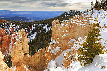
Rim edge, pine trees and snowy cliffs lit by morning sun with cloudy sky, Rainbow Point, Bryce Canyon National Park, Utah, United States of America, North America
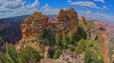
The summit of Tritle Peak off Roosevelt Point on Grand Canyon North Rim, Grand Canyon National Park, UNESCO World Heritage Site, Arizona, United States of America, North America
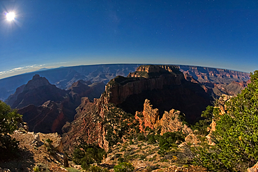
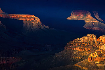
Wotans Throne in moonlight, Grand Canyon North Rim, Grand Canyon, Arizona, United States of America, North America
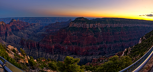
Oza Butte viewed from Bright Angel Point on North Rim after sundown, Grand Canyon National Park, UNESCO World Heritage Site, Arizona, United States of America, North America
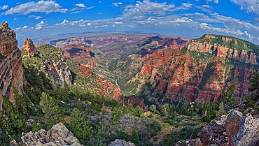
Grand Canyon North Rim viewed from Roosevelt Point with Tritle Peak on the left and Atoko Point on the right, Gand Canyon, Arizona, United States of America, North Amerca
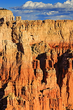
Rim cliffs and hoodoos lit by late afternoon sun in winter, Paria View, Bryce Canyon National Park, Utah, United States of America, North America
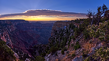
Angels Window at Cape Royal on the North Rim of Grand Canyon at sunrise, Grand Canyon National Park, UNESCO World Heritage Site, Arizona, United States of America, North America
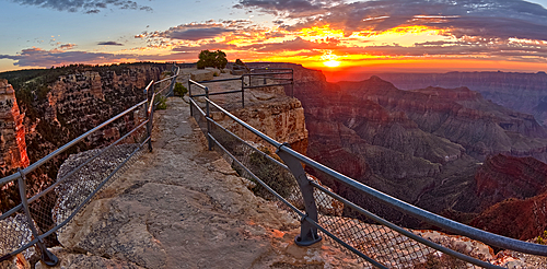
Angels Window Overlook on North Rim of Grand Canyon at sunrise, Grand Canyon National Park, UNESCO World Heritage Site, Arizona, United States of America, North America
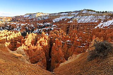
Hoodoos and cliffs with snow lit by late afternoon sun, from Rim Trail near Sunset Point, Bryce Canyon National Park, Utah, United States of America, North America
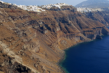
Fira Town, the capital of Santorini (Thira), perched on the Caldera Rim, Cyclades Islands, Greek Islands, Greece, Europe
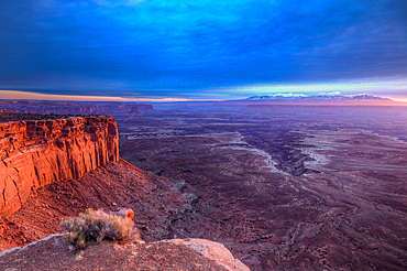
Cloudy sunrise over Buck Canyon, the White Rim & the La Sal Mountains, Canyonlands National Park, Moab, Utah. Viewed from the Buck Canyon Overlook in the Island in the Sky District of Canyonlands NP.
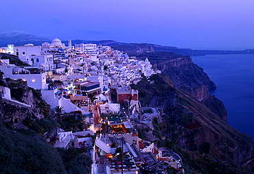
Town of Thira, Fira, on the crater rim, with typical Cycladic architecture, at dusk, Santorini, Cyclades, Greece, Europe
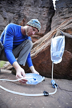
Male hiker filters water on a cliff-pinched patio near Deer Creek Falls in the Grand Canyon outside of Fredonia, Arizona November 2011. The 21.4-mile loop starts at the Bill Hall trailhead on the North Rim and descends 2000-feet in 2.5-miles through Coconino Sandstone to the level Esplanada then descends further into the lower canyon through a break in the 400-foot-tall Redwall to access Surprise Valley. Hikers connect Thunder River and Tapeats Creek to a route along the Colorado River and climb out Deer Creek.
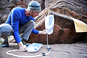
Male hiker filters water on a cliff-pinched patio near Deer Creek Falls in the Grand Canyon outside of Fredonia, Arizona November 2011. The 21.4-mile loop starts at the Bill Hall trailhead on the North Rim and descends 2000-feet in 2.5-miles through Coconino Sandstone to the level Esplanada then descends further into the lower canyon through a break in the 400-foot-tall Redwall to access Surprise Valley. Hikers connect Thunder River and Tapeats Creek to a route along the Colorado River and climb out Deer Creek.
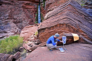
Male hiker filters water on a cliff-pinched patio near Deer Creek Falls in the Grand Canyon outside of Fredonia, Arizona November 2011. The 21.4-mile loop starts at the Bill Hall trailhead on the North Rim and descends 2000-feet in 2.5-miles through Coconino Sandstone to the level Esplanada then descends further into the lower canyon through a break in the 400-foot-tall Redwall to access Surprise Valley. Hikers connect Thunder River and Tapeats Creek to a route along the Colorado River and climb out Deer Creek.
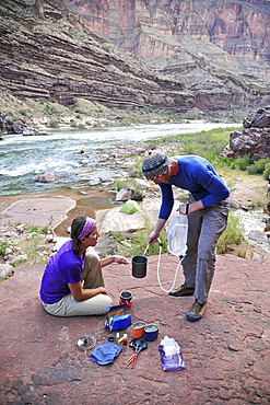
Hikers cook dinner on a cliff-pinched patio above camp and the Colorado River near Deer Creek Falls in the Grand Canyon outside of Fredonia, Arizona November 2011. The 21.4-mile loop starts at the Bill Hall trailhead on the North Rim and descends 2000-feet in 2.5-miles through Coconino Sandstone to the level Esplanada then descends further into the lower canyon through a break in the 400-foot-tall Redwall to access Surprise Valley. Hikers connect Thunder River and Tapeats Creek to a route along the Colorado River and climb out Deer Creek.
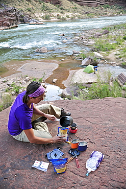
Female hiker cooks dinner on a cliff-pinched patio above camp and the Colorado River near Deer Creek Falls in the Grand Canyon outside of Fredonia, Arizona November 2011. The 21.4-mile loop starts at the Bill Hall trailhead on the North Rim and descends 2000-feet in 2.5-miles through Coconino Sandstone to the level Esplanada then descends further into the lower canyon through a break in the 400-foot-tall Redwall to access Surprise Valley. Hikers connect Thunder River and Tapeats Creek to a route along the Colorado River and climb out Deer Creek.
