Results
« Previous 1 … 35 36 37 38 Next »
3730 results found

Uluru (Ayers Rock), Uluru-Kata Tjuta National Park, UNESCO World Heritage Site, with the Olgas in the distance, Northern Territory, Australia, Pacific
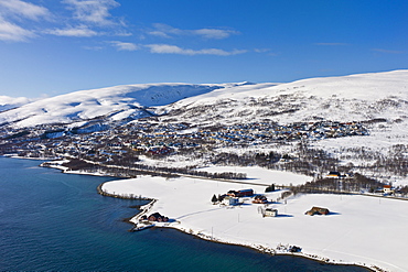
Aerial view of arctic landscape, Kvaloya Island (Whale Island) and Slettaelva Village from aircraft approaching Tromso in the Arctic Circle in Northern Norway
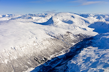
Aerial view of arctic landscape, snow covered road and Lyngen Alps from aircraft approaching Tromso in the Arctic Circle in Northern Norway
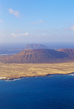
Aerial view of La Graciosa Island volcanoes from El Mirador del Rio, Lanzarote, Canary Islands, Spain, Atlantic, Europe

The Pu'u O'o cinder cone, the active vent on the southern flank of the Kilauea volcano, Big Island, Hawaii, Hawaiian Islands, United States of America, North America
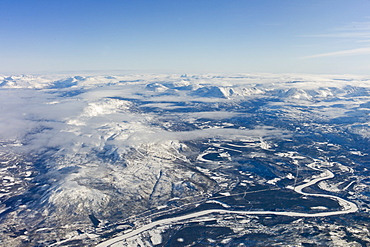
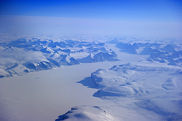
Aerial view of arctic landscape, frozen river and the Lyngen Alps from aircraft approaching Tromso in the Arctic Circle in Northern Norway
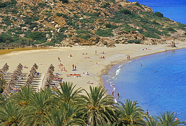
Aerial view of Vai beach and palm trees, eastern Crete, island of Crete, Greece, Mediterranean, Europe
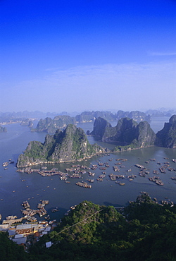
Ha Long (Ha-Long) Bay, UNESCO World Heritage Site, Hong Gai, Vietnam, Indochina, Southeast Asia, Asia
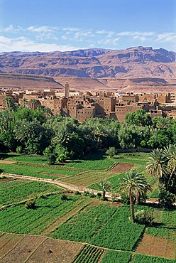
Aerial view over fields, trees and palmeries on the way to the Todra Gorge, Tinerhir, Morocco, North Africa, Africa

Maldon and Blackwater Estuary mudflats and coastal sea defences, Essex, England, United Kingdom, Europe
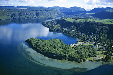
Aerial view of local lakes surrounded by forests and giant ferns, Rotorua, South Auckland, North Island, New Zealand, Pacific
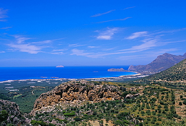
Aerial view of Falassarna coastline and beach, Falassarna, island of Crete, Greece, Mediterranean, Europe
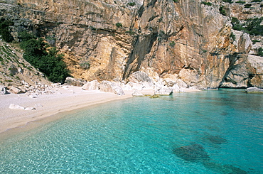
Cala Mariolu, Cala Gonone, Golfe di Orosei (Orosei gulf), island of Sardinia, Italy, Mediterranean, Europe
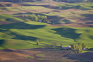
Rolling hills, The Palouse, Whitman County, Washington State, United States of America, North America
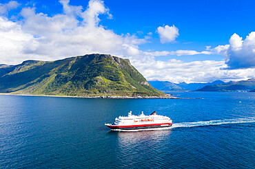
Aerial view by drone of Hurtigruten during a daily trip along the fjord, Alesund, More og Romsdal county, Norway, Scandinavia, Europe

Aerial view of the interior of the island of Kauai, including Waimea Canyon, Hawaii, United States of America, North America
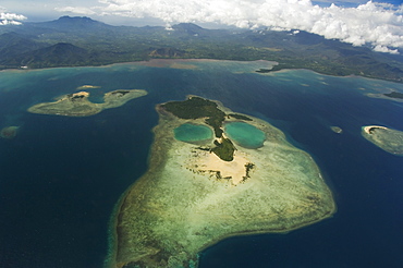
Coral island in shape of a face near Puerto Princesa, Palawan Province, Philippines, Southeast Asia, Asia
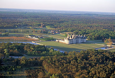
Aerial view of the Chateau of Chambord, UNESCO World Heritage Site, Route of Francois 1er (Francis 1st), Pays de Loire, Loire Valley, France, Europe
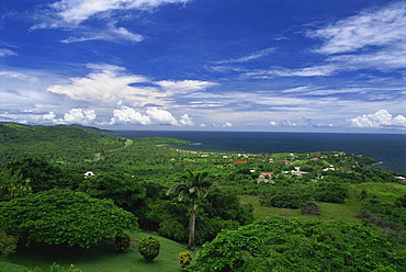
Aerial view over the grounds of Fort King George, built between 1784 and 1787, above the town of Scarborough, Tobago, West Indies, Caribbean, Central America
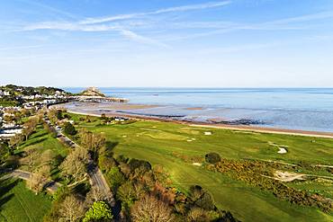
Aerial view of Royal Jersey Golf Course, Mont Orgueil Castle (Gorey Castle), Gorey, Jersey, Channel Islands, United Kingdom, Europe
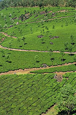
Aerial view of green landscape of tea gardens, plantations in tea country, high in the Western Ghats near Munnar, Kerala, India, Asia
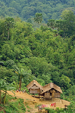
Aerial view over huts of the Orangasli Village and surrounding rainforest canopy, Malaysia, Southeast Asia, Asia
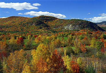
Aerial view over woodland and rolling hills in fall colours, White Mountain National Park, New Hampshire, New England, United States of America, North America
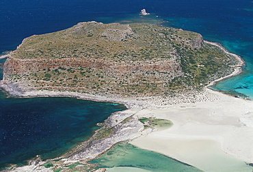
Aerial view of Gramvousa islet, Gramvousa peninsula, western Crete, island of Crete, Greece, Mediterranean, Europe
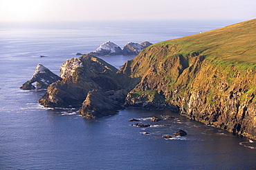
Cliffs of Hermaness Nature Reserve, looking north towards Vesta Skerry, Tipta Skerry gannetry, Muckle Flugga and its lighthouse in the distance, Unst, Shetland Islands, Scotland, United Kingdom, Europe
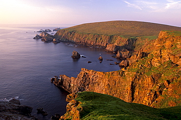
Cliffs of Hermaness Nature Reserve, looking north towards Vesta Skerry, Tipta Skerry gannetry, Muckle Flugga and its lighthouse in the distance, Unst, Shetland, Scotland, United Kingdom, Europe
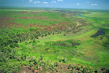
Aerial of wetlands on the floodplain of East Alligator River forming the border beween Arnhemland and Kakadu National Park in Northern Territory, Australia, Pacific
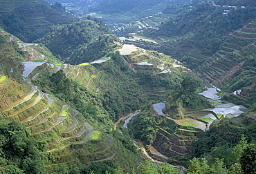
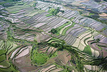
Banaue terraced rice fields, UNESCO World Heritage Site, northern area, island of Luzon, Philippines, Southeast Asia, Asia

Trees mark a dry riverbed or Lugga which may only flow with water for a few days each year, Matthews Range, Kenya, East Africa, Africa

Aerial view of two hot air balloons floating over brown countryside near Northam in Western Australia, Australia, Pacific
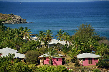
Aerial view over apartments of the Fischer's Cove Resort, near Spanish Town, Virgin Gorda, British Virgin Islands, West Indies, Caribbean, Central America
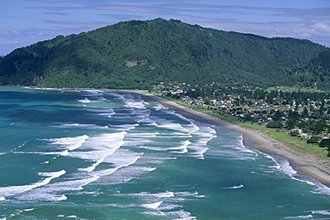
Aerial view of surf beach at Pauanui on east coast, Coromandel Peninsula, South Auckland, North Island, New Zealand, Pacific

Aerial view of Poldhu Cove and Mullion, looking east to Goonhilly, Lizard Peninsula, in summer sun, Cornwall, England, United Kingdom, Europe

Aerial of the rice terraces around the village of Batad in the Mountain Province in north Luzon island, the Philippines, Southeast Asia, Asia

Aerial view over Linville Falls, on the Linville River near the Blue Ridge Parkway, Appalachian Mountains, North Carolina, United States of America, North America
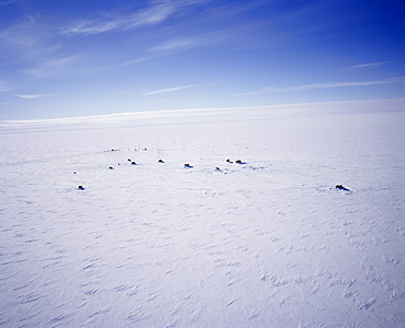
Aerial view of Siple Station, main base is 40ft under the ice, United States Antarctic Program, Antarctica, Polar Regions
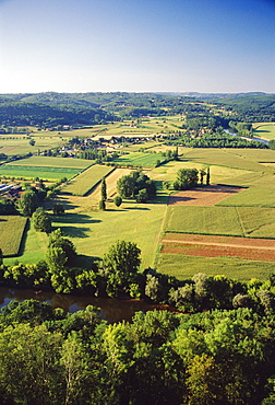
Aerial view of countryside and River Dordogne taken from the bastide town of Domme, Dordogne, Aquitaine, France, Europe
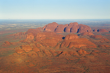
The Olgas, Uluru-Kata Tjuta National Park, UNESCO World Heritage Site, Northern Territory, Australia, Pacific

Looking south across Pearl Beach and Broken Bay towards the mouth of the Hawkesbury River and Pittwater, near Gosford, Central Coast, New South Wales, Australia, Pacific
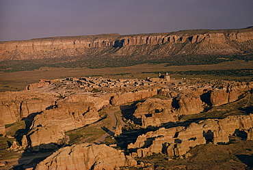
Aerial view over the village of Acoma Pueblo, in rocky landscape at dusk, New Mexico, United States of America, North America
