Preview

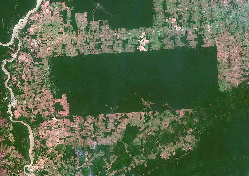
Color satellite image of the indigenous territory Igarape Lage, Rondonia, Brazil, covering an area of 688,000 square kilometers. Image collected on September 25, 2020 by Sentinel-2 satellites.
| Image ID: | 1348-5421 |
|---|---|
| Artist: | Planet Observer |